

Things to do on a nature and hiking day in Tavernes
A day to discover Tavernes through its landscape
Some days call for swapping the sand for a path, the seafront walk for a route between mountains, marshland and orange groves, and the rush for another way of discovering Tavernes. Here, nature is not experienced in just one way. There are gentle routes to start the day calmly, panoramic itineraries with open views over the Valldigna and the Mediterranean, routes that combine landscape and history, and other options for those who want to walk more seriously and head into the mountains. Tavernes combines mountains, marshland, farmland and coastline, and this variety is one of the city’s greatest strengths.
 Nature and hiking in Tavernes
A day in nature with more than one way to enjoy it
This page is not intended to be an endless list of trails, but an easy way to guide yourself according to the plan you feel like most. You can start with a calmer option, look for an emblematic route, combine nature and history, or set aside a more hiking-focused day. And if you want to keep exploring afterwards, you will always have other paths and pages at hand to go deeper.
Path of Senses
A complete proposal for exploring different settings in the municipality and understanding Tavernes beyond its beach image.
The Creus Trek
The great classic of local hiking, with viewpoints, Fontetes de Cantus and one of the finest views over the Valldigna.
Cova del Bolomor Route
An easy and very recognisable route to get close to the surroundings of an exceptional archaeological site.
The Ombria Trek
For those looking for a longer route, mountains, pine forest, ravines and a more inland feeling of the Tavernes landscape.
Start with an easy route and read the landscape of Tavernes
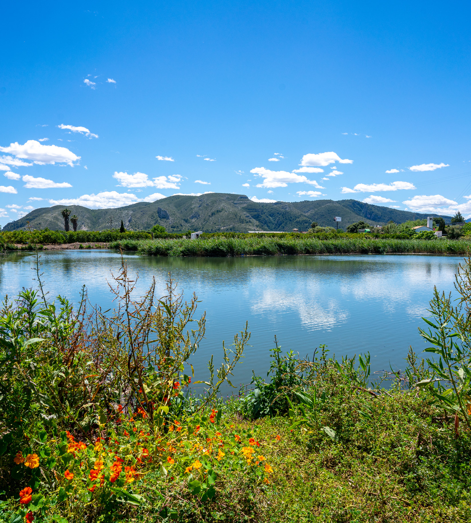
The best way to start the day is the Path of Senses. It is a complete and accessible proposal because it lets you explore different settings in the municipality without needing a demanding route and, at the same time, helps you understand Tavernes beyond its beach image. The route crosses four different ecosystems —dune, marshland, farmland and forest— and passes through representative places such as the watchtower, Ullal Gran and Clot de la Font. That makes it an excellent route for anyone looking for a varied, pleasant experience with plenty of landscape.
It is a very good way to start the day because it does not force you to choose between inland and coast: it embraces both. You can read the territory through its details, understand how water shapes the surroundings and discover, at a gentle pace, some of the places that give Tavernes its character. It is especially suitable for those who want to walk without rushing, for couples, for families and for visitors looking for a first contact with the city’s natural surroundings.
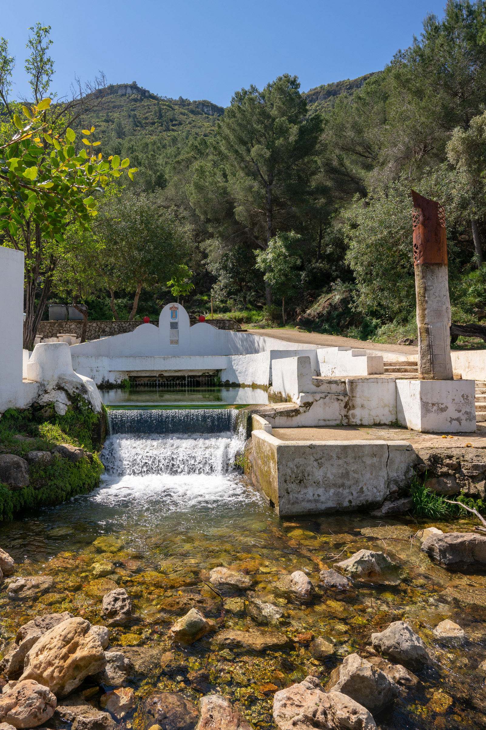
If you want to extend the plan without leaving this gentler tone, you can also consider other options such as Clot de la Font, a very pleasant natural site for stopping, resting and enjoying a cooler, more sheltered setting, or Racó de Joana – Ullals, which helps you keep discovering a calmer and less demanding part of the landscape. Clot de la Font is a natural spring and an equipped area where you can spend a pleasant time in contact with nature.
 Path of Senses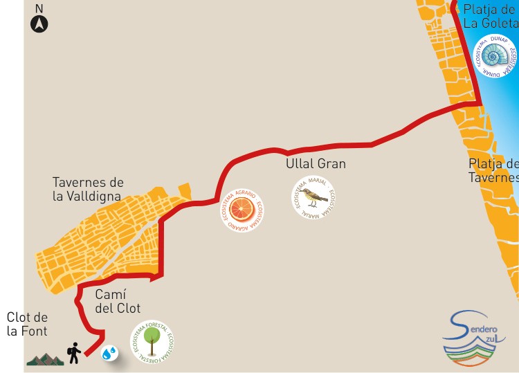
If you are looking for the most iconic route in Tavernes
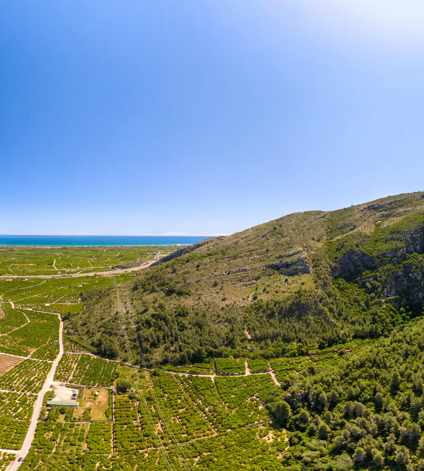
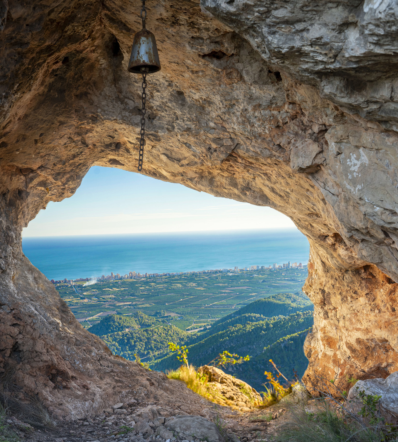
If there is one route that represents the most emblematic side of hiking in Tavernes, it is the The Creus Trek. It is the great classic, the one many people immediately associate with the city’s mountain profile and the one that best sums up the idea of a walk with a final reward. It is a medium-difficulty route, 10.8 km long, with 587 metres of positive elevation gain and a route that passes through highly recognisable places such as Fontetes de Cantus, Els Castellets and Alt de les Creus, where one of the great panoramic views over the Valldigna and the Mediterranean Sea opens up.
It is a route for those who want to feel that they have truly been in the mountains, but also for anyone looking for a walk with character, history and a final image that stays in the memory. The ascent requires perseverance, but the landscape rewards the effort. When you reach the upper section, Tavernes appears in a different way: the valley opens up, the coast is drawn in the distance and everything invites you to stop for a moment and look.
As a first panoramic recommendation, The Creus Trek is the strongest choice. Other variants and nearby routes can be explored later, but this itinerary concentrates the most recognisable image of mountain Tavernes.
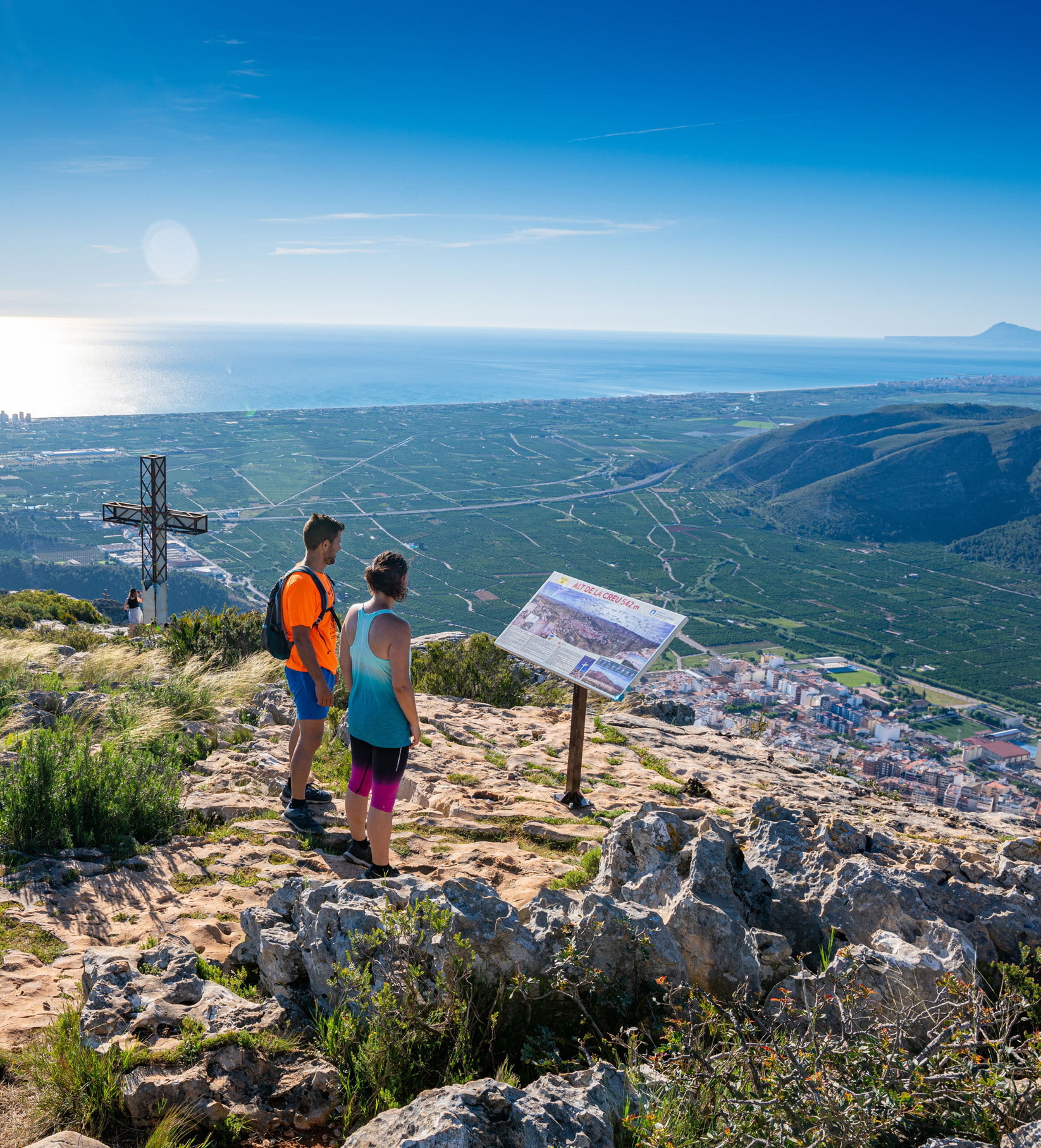 The Creus Trek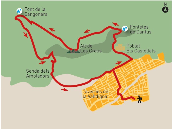
If you like combining nature and history
For a day in nature with a very clear heritage layer, the best proposal is the Cova del Bolomor Route. It is an easy, circular and very recognisable route, which makes it especially interesting for a wide audience. The route is 6.7 km long with 270 metres of positive elevation gain and reaches the entrance to Cova del Bolomor, an archaeological site of exceptional importance for understanding the earliest human settlement in Valencian lands.
The strength of this proposal is that it does not stop at the value of the landscape. Here there is also a very deep history, linked to prehistory, fire and the life of the first human groups that inhabited this territory. It is a very suitable route for those who want a mid-morning plan or a lighter day, but with a strong cultural and interpretive dimension.
It is worth explaining this clearly: the route takes you to the Bolomor surroundings, but visiting the archaeological site does not work as a free, improvised entry. If you really want to understand the importance of the cave, it is worth completing the experience by checking the specific information about the visit to Cova del Bolomor, where the full archaeological dimension of the site is properly explained.
Within this same type of plan, you can also complete the day with the route from the Mediterranean Viewpoint to Sant Llorenç Hermitage, a very coherent option for adding a more panoramic perspective to the day.
 Nature and history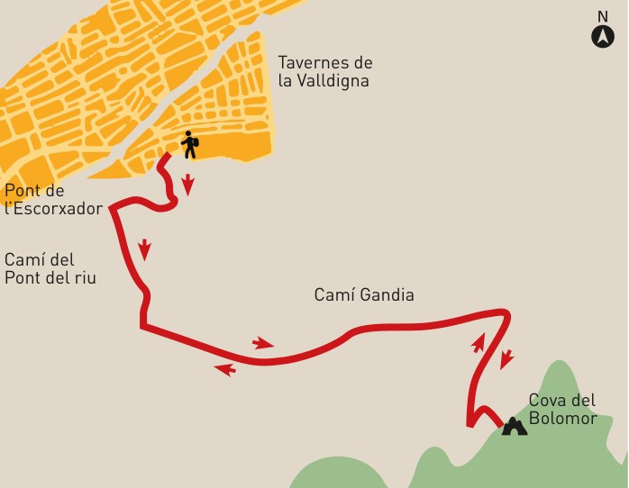
If you want a more serious hike
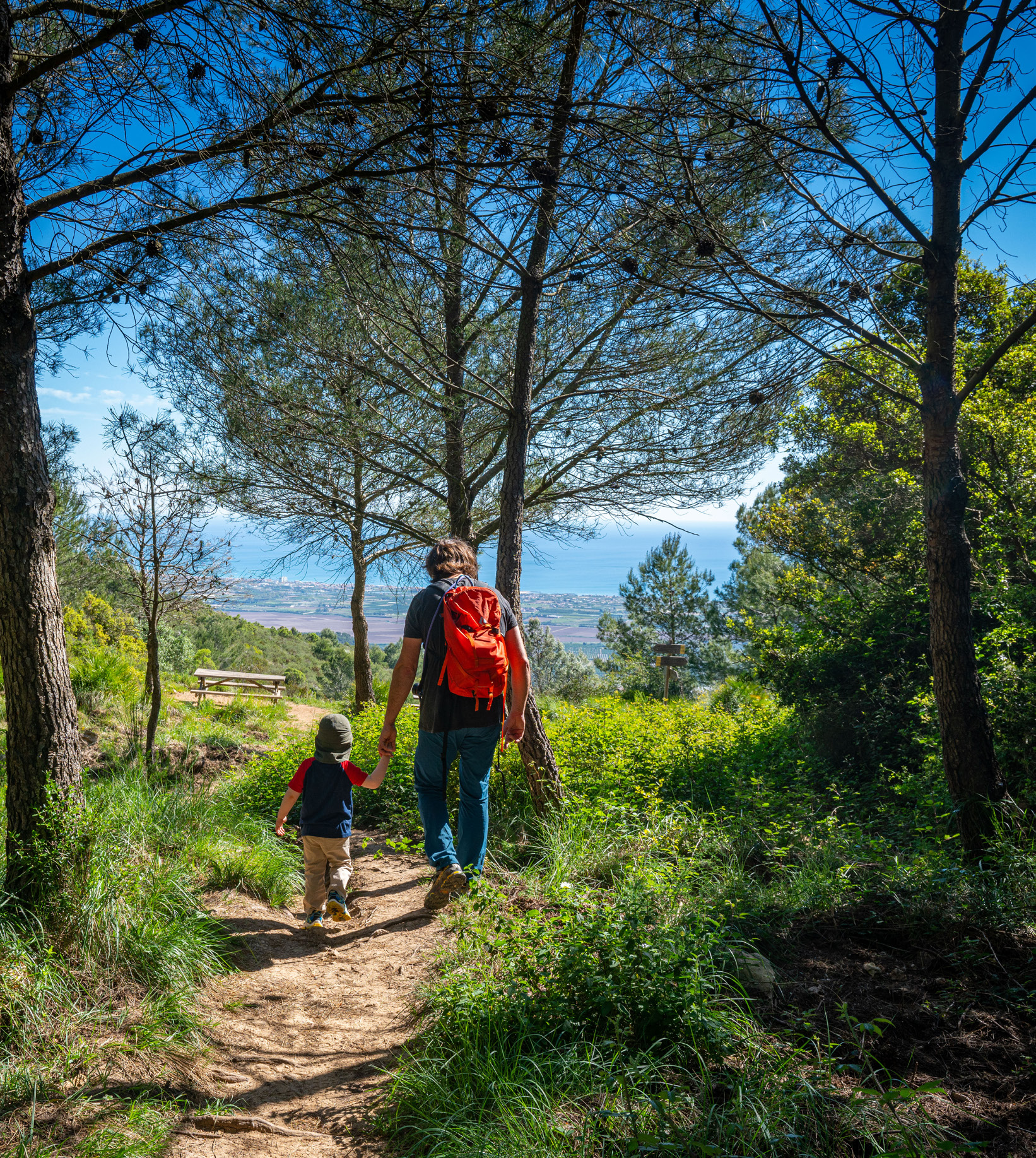
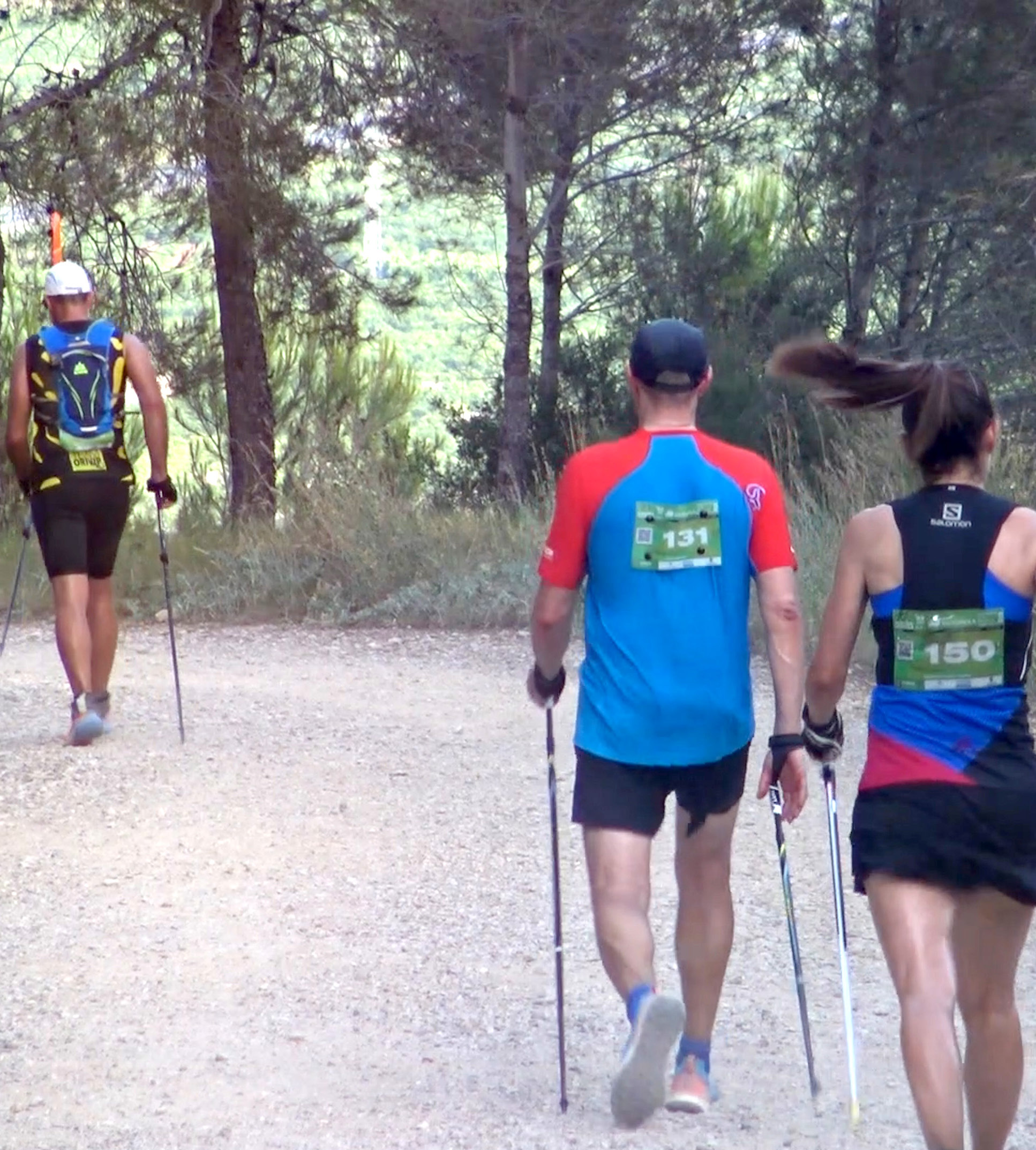
For those looking for a more hiking-focused day, with a longer route and a stronger mountain feeling, the featured option should be The Ombria Trek. It is a moderate circular route, 12.6 km long with 399 metres of positive elevation gain. The experience includes pine forest, ravines, zigzag sections, old paths, the cistern, Pla de les Foietes and views with the sea in the background. It is a route that speaks clearly to those who want to walk more, enter the mountain range and experience a less immediate, more inland Tavernes de la Valldigna.
It is a very good choice as a hiking block because it has enough substance without yet entering a more technical or sporting field. It allows you to spend a more demanding day in nature, while still being a route that can be understood and enjoyed from a hiking perspective.
If afterwards you want to raise the level or simply discover other mountain options, you can also look at The Cadira Viewpoint, a moderate, long trail with good elevation gain, or more specific proposals such as the Via Ferrata Les Marujes , intended for more experienced people with the right equipment. Also linked to the Les Creus mountain range, the Sangonera Fountain area can work as another complementary reference for those who know or frequent the mountains more often.
 The Ombria Trek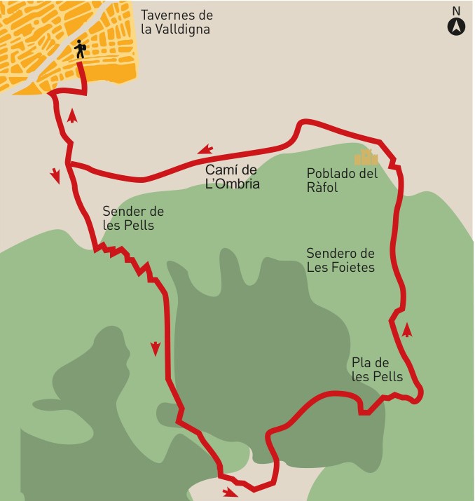
If you prefer an easy route by bike or on foot
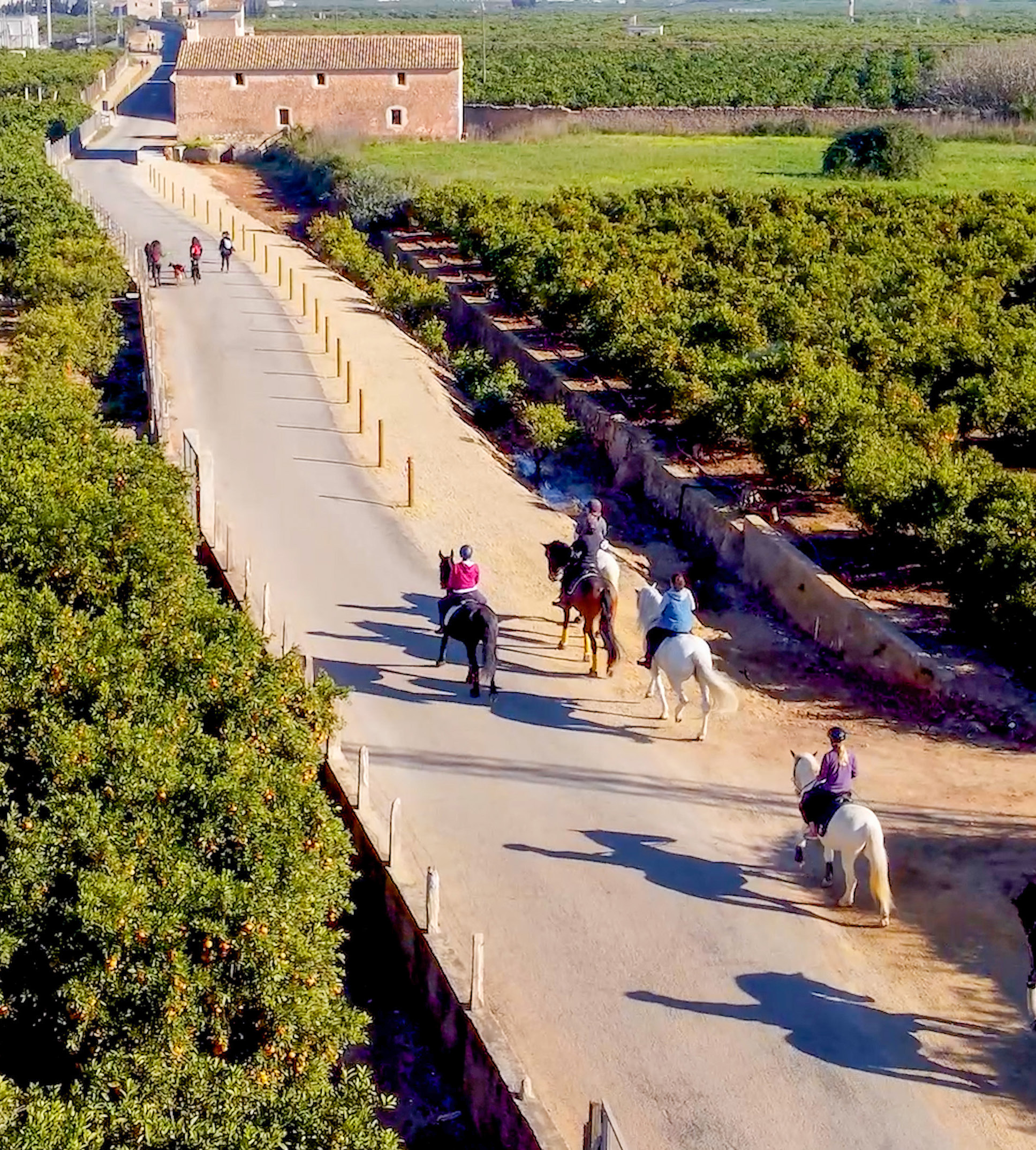
Not all nature tourism has to involve a mountain trail. If what you feel like is a more linear, comfortable plan, suitable for cycling or walking without complications, the best proposal is the Greenway of the Old Railway. It is an easy 29 km route linked to the former Carcaixent-Dénia railway, and it is presented as a route through market gardens, urban centres, sea and mountains that also preserves a very interesting historical layer.
It is a very good option for those looking for another way to discover the territory: more open, more continuous, gentler and very suitable for combining landscape and movement without having to face steep slopes. Here, the main focus is not so much the summit or the climb, but the feeling of travelling through the Valldigna calmly, among fields, stations, old tracks and views that change along the way.
It is also a very useful proposal for groups with different rhythms or for visitors who prefer a more relaxed experience that is still linked to the nature and landscape of Tavernes.
 Greenway of the Old Railway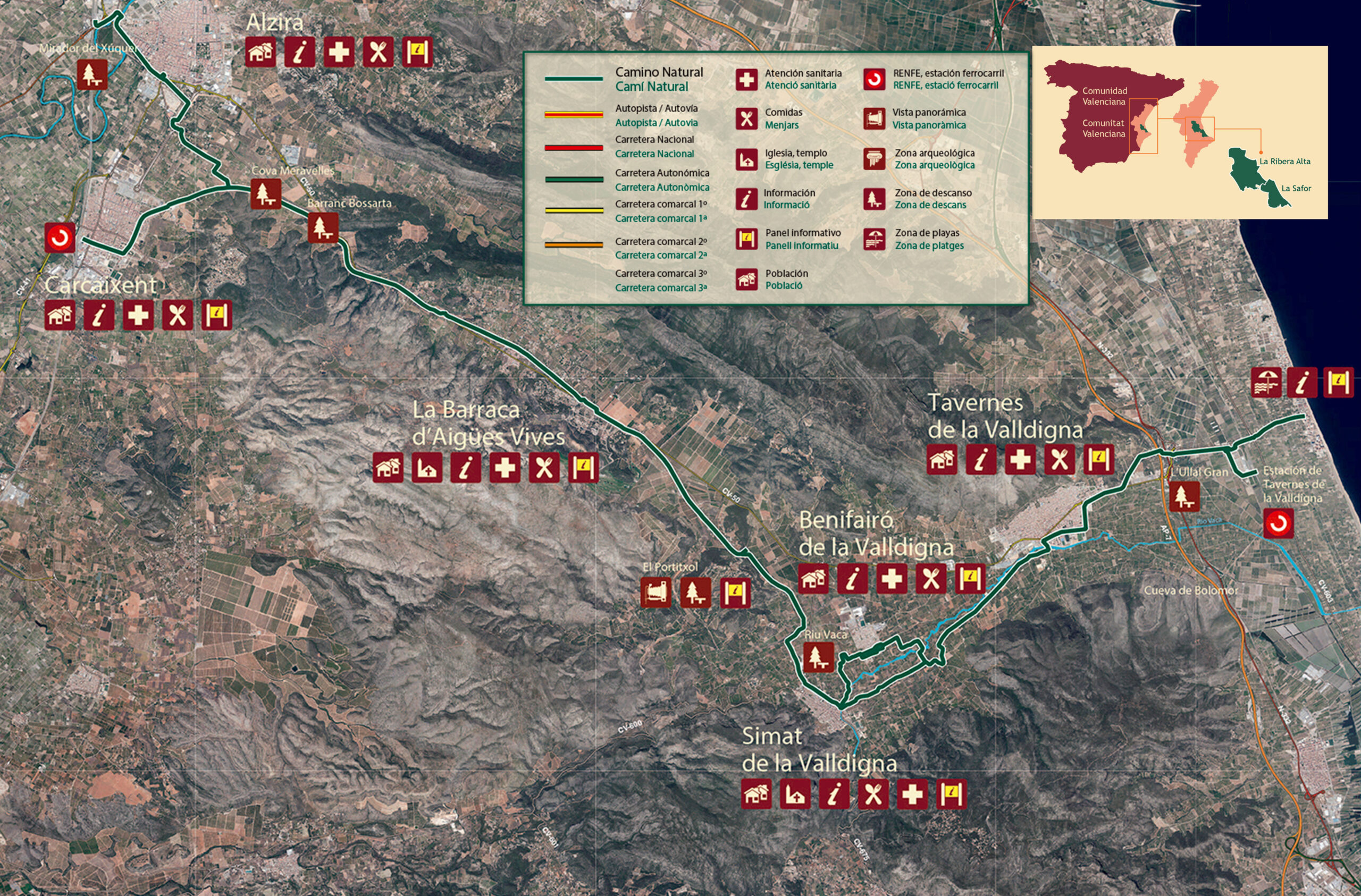
Other routes and trails to keep discovering Tavernes
We want to guide you, recommend options and help you choose, but not exhaust everything that can be done here. Tavernes has many more routes, trails and variants for those who want to keep discovering the mountains, the marshland, the old paths and the city’s natural sites. That is why, if after this selection you want to go deeper, we recommend continuing to explore the specific hiking, mountain route and natural space pages already created on the website.
This way, you can start with a main route according to your pace and, from there, open up new options. That is, after all, one of Tavernes’ great virtues: nature here is not experienced in just one way. Some people prefer a calm trail, others look for an emblematic climb, some want a route with historical memory and others take the opportunity to enjoy a more demanding day. All these ways of travelling through the territory have a place here.
More ideas to keep discovering Tavernes de la Valldigna
If after this selection you want to keep combining plans, here are other useful pages to discover Tavernes through nature, the beach, festivals and other experiences.
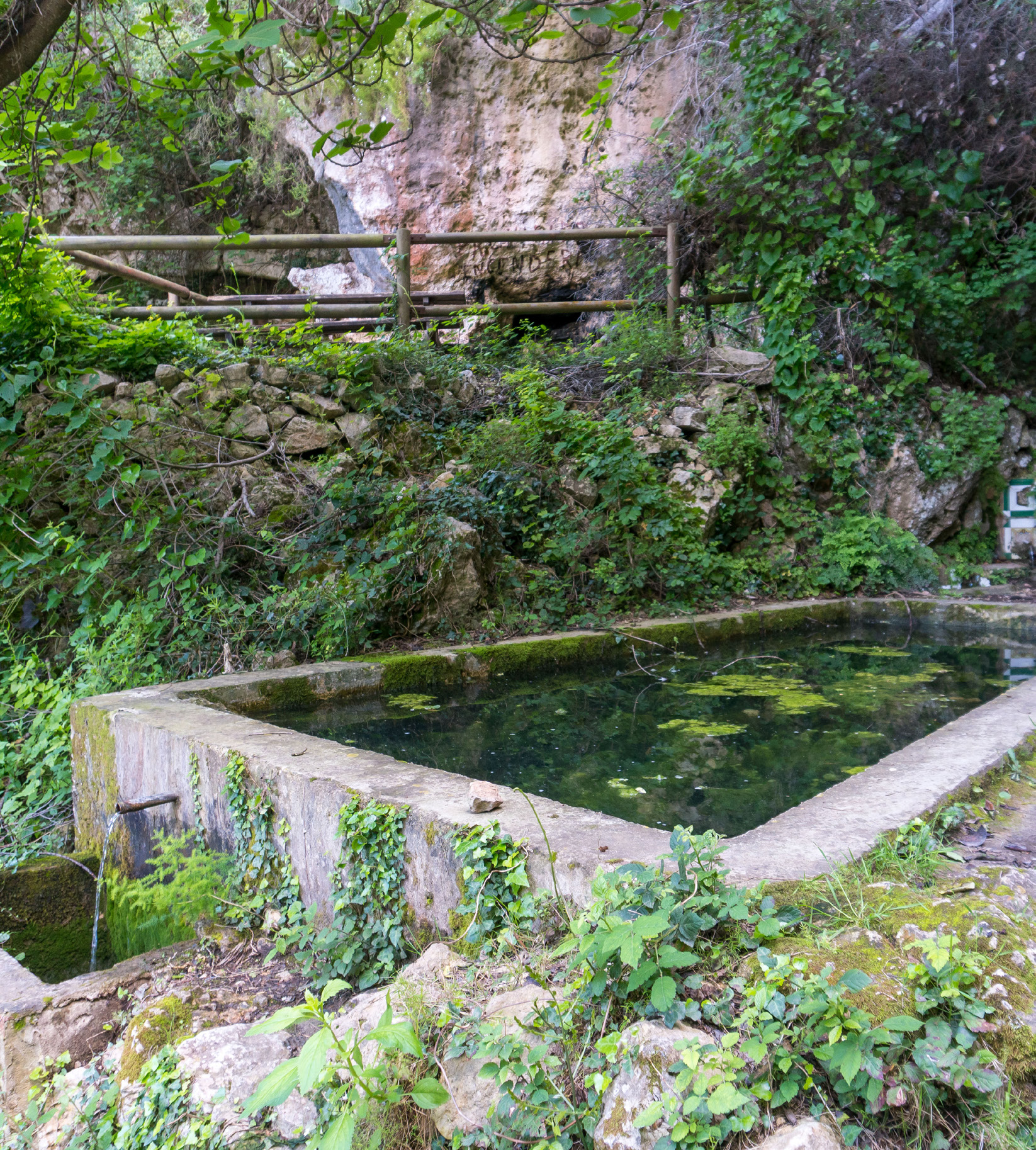
Travel planner to Tavernes
A very useful tool for combining routes, landscape, heritage and other plans throughout the Valldigna.
Plan my trip to TavernesThings to do in Tavernes
The best reference page for discovering other experiences and continuing to shape your visit to Tavernes.
See things to do in Tavernes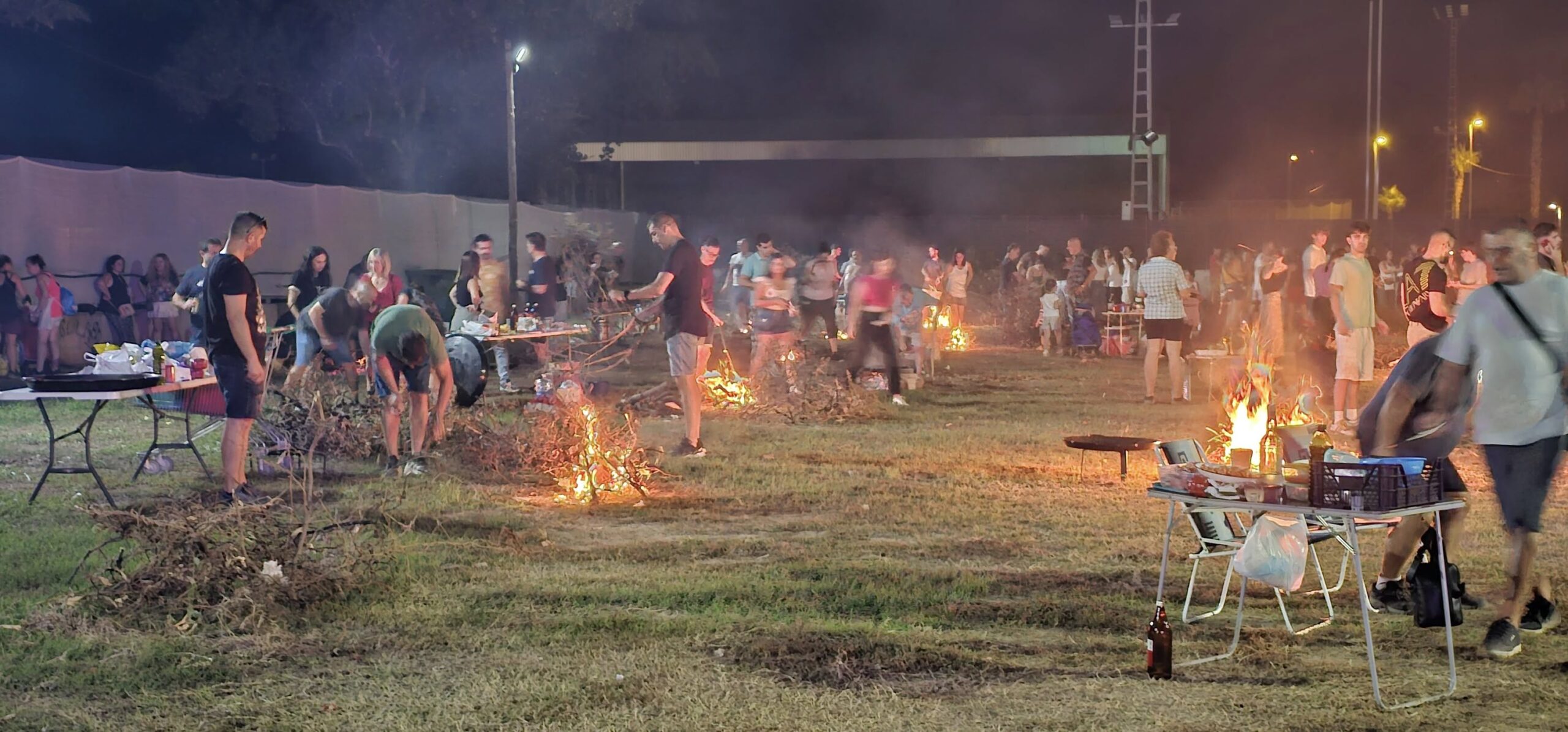
A day of festivals and traditions
A proposal to get closer to the festive calendar, popular celebrations and local identity of Tavernes.
See festival plan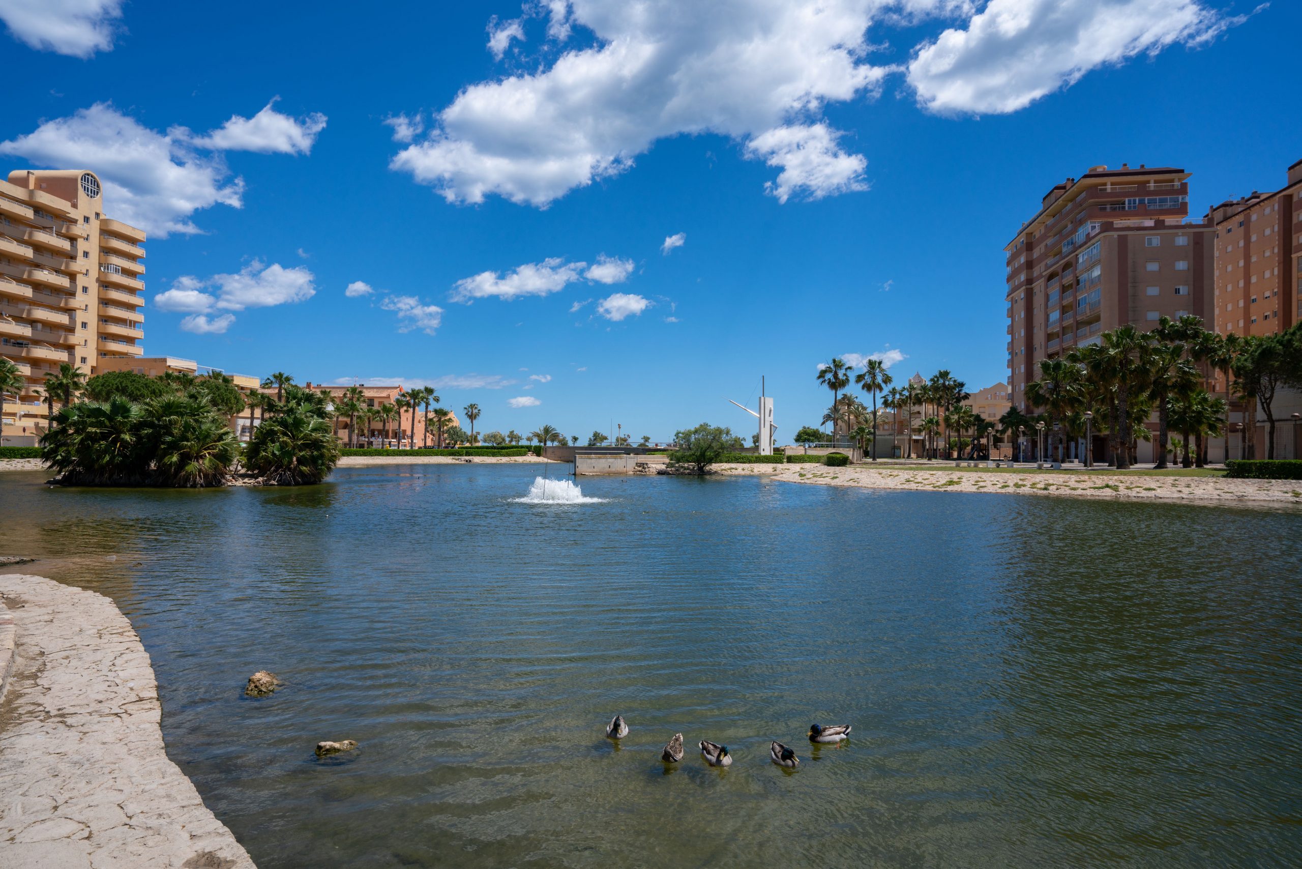
A beach day in Tavernes
A proposal to enjoy the sea, the promenade, the terraces and the atmosphere by the Mediterranean.
See beach planNature and routes image gallery in Tavernes
A selection of images to keep discovering landscapes, routes and natural corners of Tavernes. You can enlarge each image and, in some captions, you will find a related link to explore further.
 Enlarge imageEnlarge image
 Enlarge imageEnlarge imageEnlarge image