


The Granata Trek in Tavernes de la Valldigna
The Granata Trek in Tavernes de la Valldigna is a hiking route that connects the urban area with the Les Creus mountain, Senda Vieja de Favara, the shaded slopes, Font de la Granata, Camí del Massalari, Racó Redó and Racó de Joana.
It is a useful route for understanding the inland landscape of Tavernes: it starts near the defence wall and orange groves, enters the mountain through a path, crosses pinewood sections and reaches a spring surrounded by lush vegetation.
Practical information for the Granata Trek
The main route starts in Tavernes, follows the surroundings of the defence wall, links with paths on the Les Creus mountain and reaches Font de la Granata before returning along rural tracks and forest paths.
Municipal sports centre, defence wall and access towards the Tennis Club.
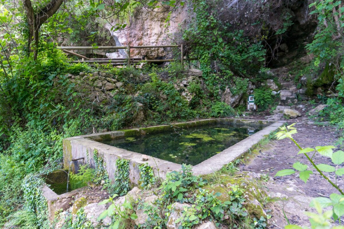
Font de la Granata, a spring with lush vegetation and a resting area.
Circular mountain route with paths, forest track, rural roads and return to Tavernes.
Moderate for visitors: there are long ascents, path junctions and downhill sections.
Interactive map of the Granata Trek
Check the main track before following the step-by-step route guide.
Main Granata route
Circular route from Tavernes to Font de la Granata, passing through Senda Vieja de Favara, the shaded side of Les Creus and the return through Massalari, Racó Redó and Racó de Joana.
From the sports centre to the mountain access
The route begins at the municipal sports centre and crosses the urban area until it reaches the defence wall. From there, continue to the right, heading east, following the wall until the bridge that crosses towards the Tennis Club.
After crossing the wall, the route follows the path on the right, with the Tennis Club on the left and orange groves on the right. At a fork, take the path on the left, which climbs towards the foot of the mountain, and then turn right until you find the path.
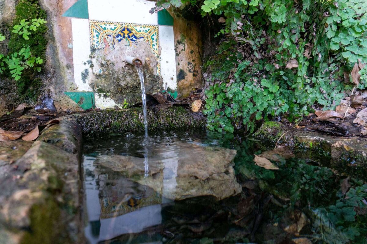
Senda Vieja de Favara and the shaded side of Les Creus
After about 20 metres, a path junction appears. The route takes the path on the left, known as Senda Vieja de Favara, which climbs in zigzags through a pinewood until it reaches a fork.
From that point, continue left, heading west. After a flatter section, the path begins a long ascent to a new junction, where you take the direction of Font de la Granata. This part of the route runs along the shaded side of the Les Creus mountain and allows you to see the surroundings of Racó del Massalari.
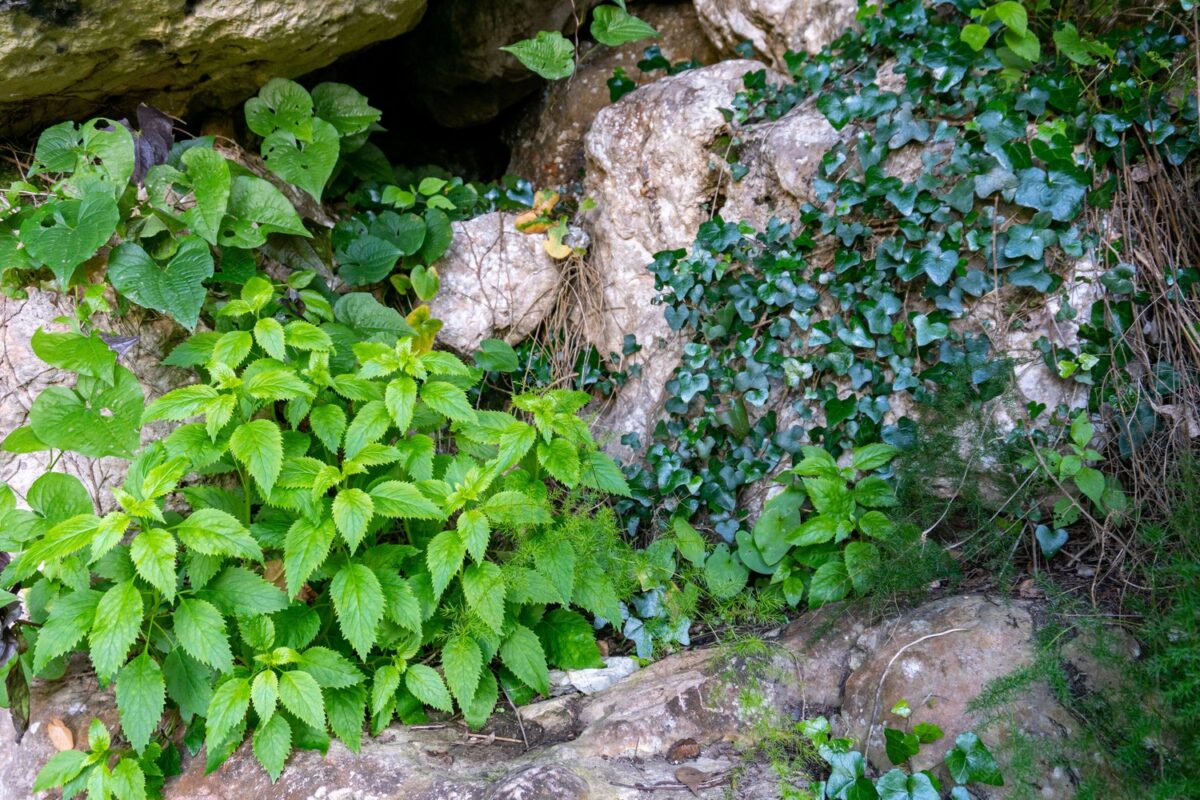
Font de la Granata
After another junction, the route descends along a short stretch with a pronounced gradient and continues westwards to a new fork. From there, follow the left-hand path between pine trees until you reach Font de la Granata.
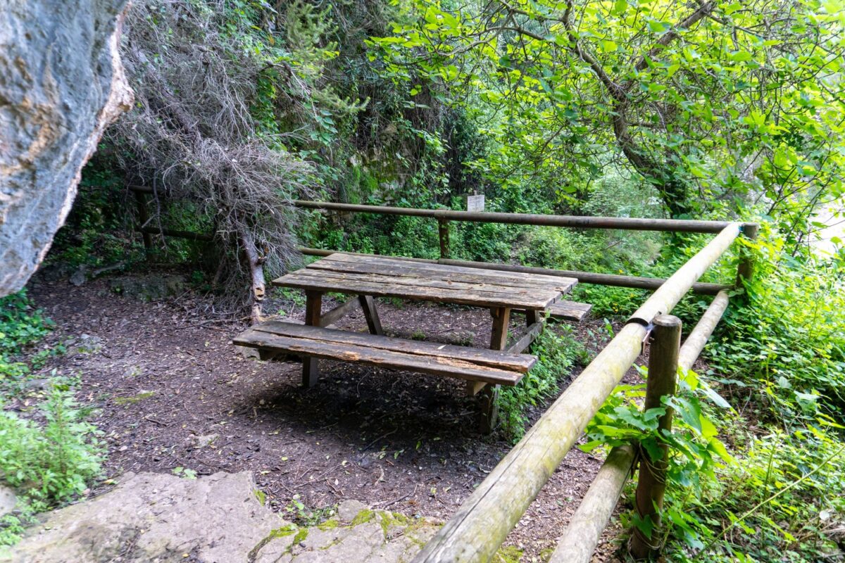
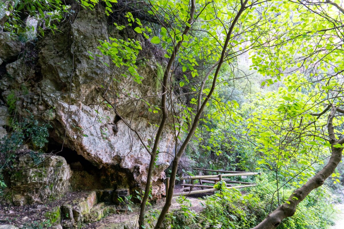
The spring is located in an area of lush vegetation. It is a suitable place to rest, recover energy and understand the importance of water in the mountains of Tavernes. There is a picnic table nearby, although visitors should not rely on the spring as their only water point.
Massalari, Racó Redó and Racó de Joana
From Font de la Granata, the itinerary continues along a forest track until it connects with a concrete path and then an asphalt road. This section leads to the junction with Camí del Massalari, where you continue to the right.
The route then reaches the Racó Redó junction, which is taken to the right. Further on, a forest track climbs to a fork, where the route continues to the left. It reaches Racó de Joana and continues towards the drinking water reservoir. Before reaching the reservoir, take the path on the right; if you stayed on the track, you would reach the Sant Llorenç hermitage.
The path climbs to the junction with Travessera de Favara. From there, descend to the foot of the mountain and return along the initial itinerary to the municipal sports centre.
Clear summary of the Granata Trek
Follow this order to understand the main junctions before setting off.
Departure from the municipal sports centre, crossing the urban area and reaching the defence wall.
Crossing towards the Tennis Club, path among orange groves and access to the foot of the mountain.
Uphill zigzag path through pinewood until reaching the main fork.
Westward section along the shaded side of Les Creus, with views towards Racó del Massalari.
Short descent, left-hand fork and arrival at the spring among lush vegetation.
Return by forest track, Camí del Massalari, Racó Redó, Racó de Joana and Travessera de Favara.
Other routes related to Granata
Alternative routes to adapt the walk to the available time, elevation gain and the group’s experience.
PR-CV 39 · Tavernes de la Valldigna
Circular variant focused on PR-CV 39 and the Font de la Granata area.
Tavernes · Font de la Granata
A more direct option to reach Font de la Granata from Tavernes.
PR-V 38 + PR-V 39 · Font de la Granata
Combination of PR-V 38 and PR-V 39, useful for connecting Racó de Joana, Ullal Gran and Granata.
Les Tres Creus via Font de la Granata
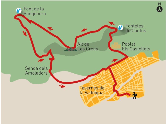
A more mountainous variant that combines the Granata area with Les Creus and Font de la Sangonera.
Tavernes · Granata · Sant Llorenç
Variant connecting the Granata area with the surroundings of the Sant Llorenç hermitage.
Before doing the Granata Trek
Bring enough water, mountain footwear, sun protection and a charged phone. Although Font de la Granata is the main point of the route, do not rely on it having water all year round. In summer, avoid the hottest hours of the day.
If you choose variants that link with Les Creus, Font de la Sangonera or Sant Llorenç, check the track carefully before setting off.
Check AEMETComplete your visit to Tavernes
Combine the Granata Trek with other pages from the hiking, nature and travel planning sections.
The Creus Trek
Another key route on the Les Creus mountain, with viewpoints and a historic path.
See The Creus Trek