



Antic Trenet Greenway: from Tavernes beach to Alzira and Carcaixent
A linear route connecting the Mediterranean with La Valldigna and La Ribera Alta along the former route of the Trenet railway. The route begins beside Tavernes de la Valldigna beach and continues through orange groves, rural paths, hydraulic heritage, former railway passages and mountain scenery until it reaches Alzira and Carcaixent.
It is an ideal option for cycling, gentle walking and active tourism, with comfortable sections, signposted crossings and scenery that changes from the coastline to the inland valleys.
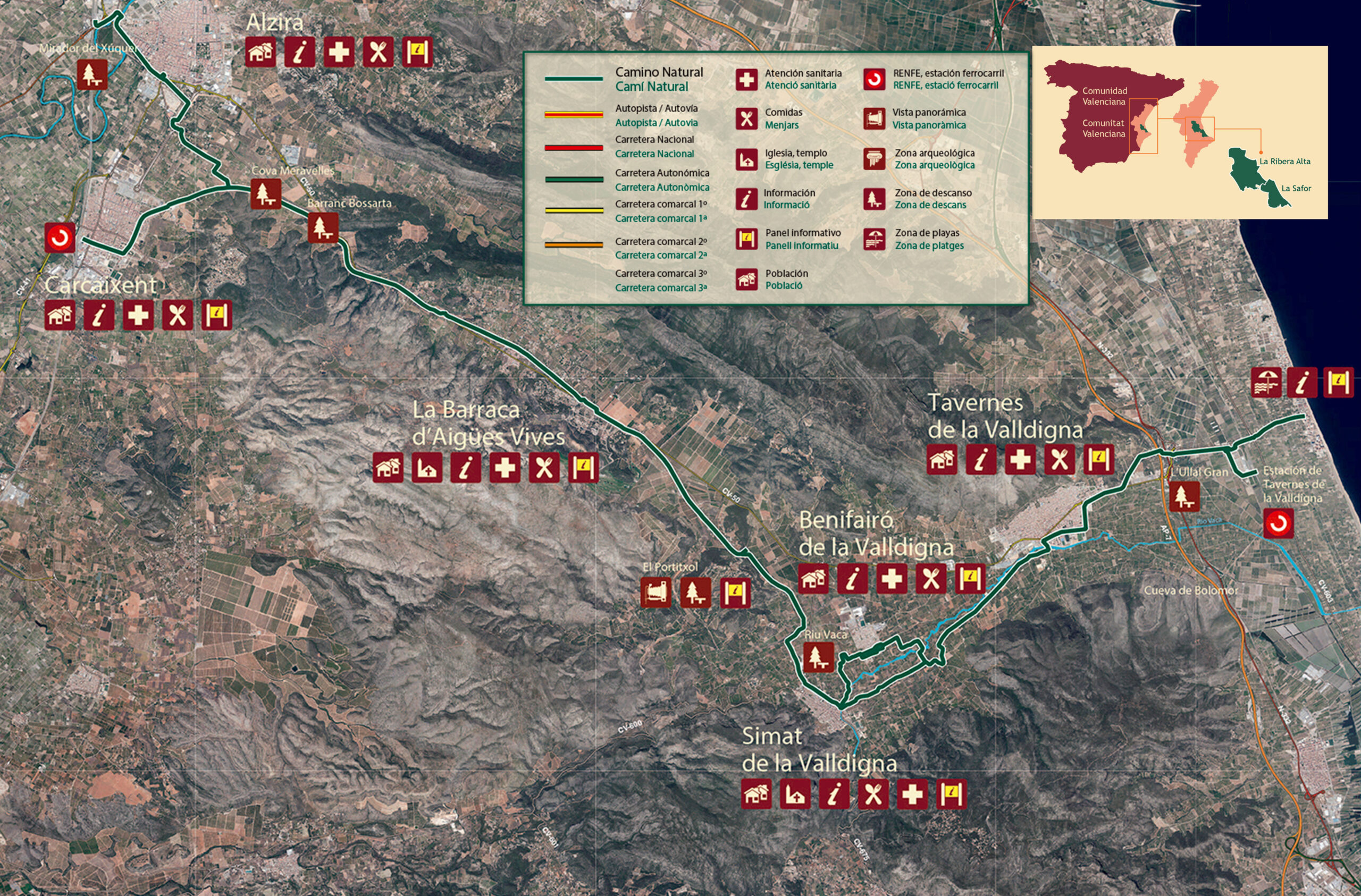 Antic Trenet Natural Trail
Route map from Tavernes beach
The route starts at the Tourist Info office on Tavernes de la Valldigna beach, on Av. de la Marina, s/n. The map shows the full route from the beach: it first follows the Camí Natural de l’Antic Trenet and Camí del Mar / CV-603 to Tavernes de la Valldigna railway station and, from there, links with the Antic Trenet Natural Trail towards La Valldigna, Alzira and Carcaixent.
The memory of the old Trenet
The greenway recovers the trace of the former narrow-gauge railway that connected La Ribera, La Valldigna and the Marina area. For decades, that small train was an essential link for passengers, agricultural goods and economic activity between the valley settlements and the coast.
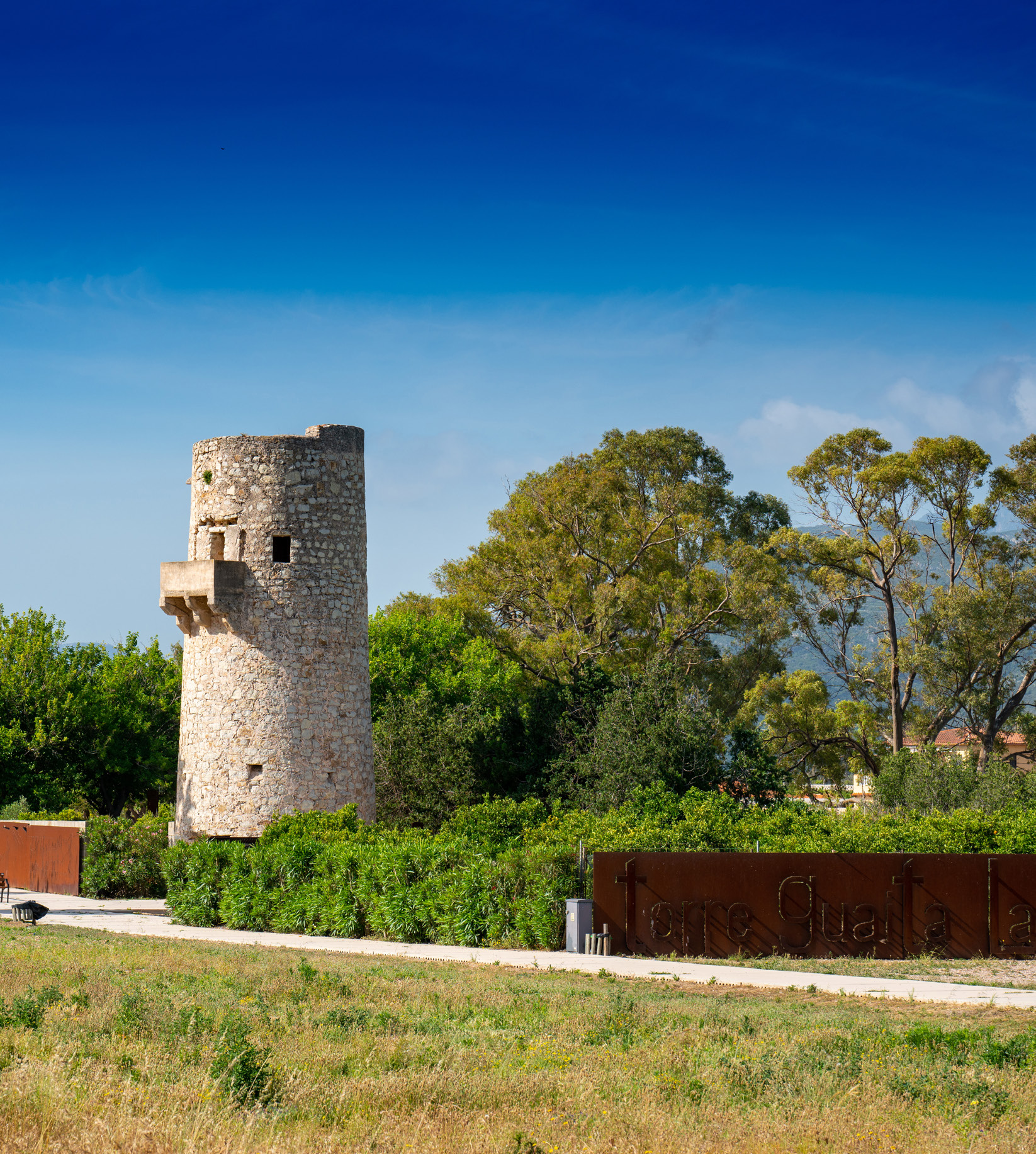 Watchtower
From train line to natural trail
Today’s route offers a different way to understand the landscape: cuttings, former halts, agricultural tracks, bridges, ravines and orchards accompany a route that preserves the gentle linear character of the old railway.
Today, the former track bed has become an unhurried itinerary, ideal for combining gentle activity, Mediterranean scenery and local heritage.
From Tavernes to La Ribera Alta
The route runs from the seafront of Tavernes towards the city, crosses La Valldigna and continues through Aigües Vives before connecting with Alzira and Carcaixent.
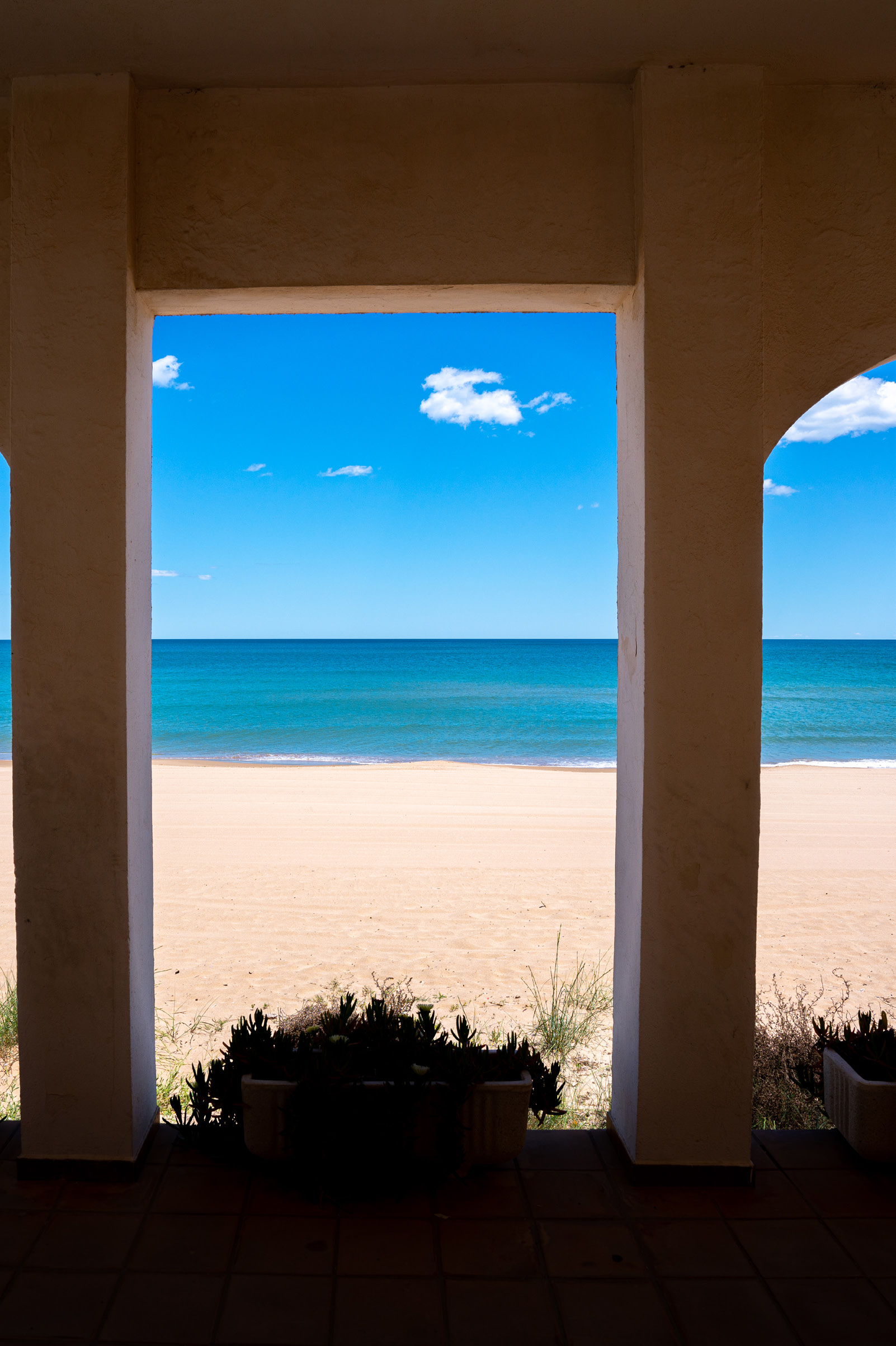 Start at the beach
Start from Tavernes beach
The itinerary begins beside the Mediterranean, on Tavernes de la Valldigna beach. From here, the route heads inland to connect with the city and the main route of the former Trenet.
This start makes it possible to combine cycling with coastal scenery: sea, dunes, orange groves and the natural entrance to La Valldigna.
Benifairó, Simat and the Monastery
As it enters La Valldigna, the route crosses an agricultural landscape shaped by citrus trees, the River Vaca and the outline of the mountains. Near Simat, the Monastery of Santa María de la Valldigna stands out as one of the valley’s major heritage landmarks.
The combination of nature, history and quiet paths makes this one of the most attractive sections for stopping and enjoying the surroundings.
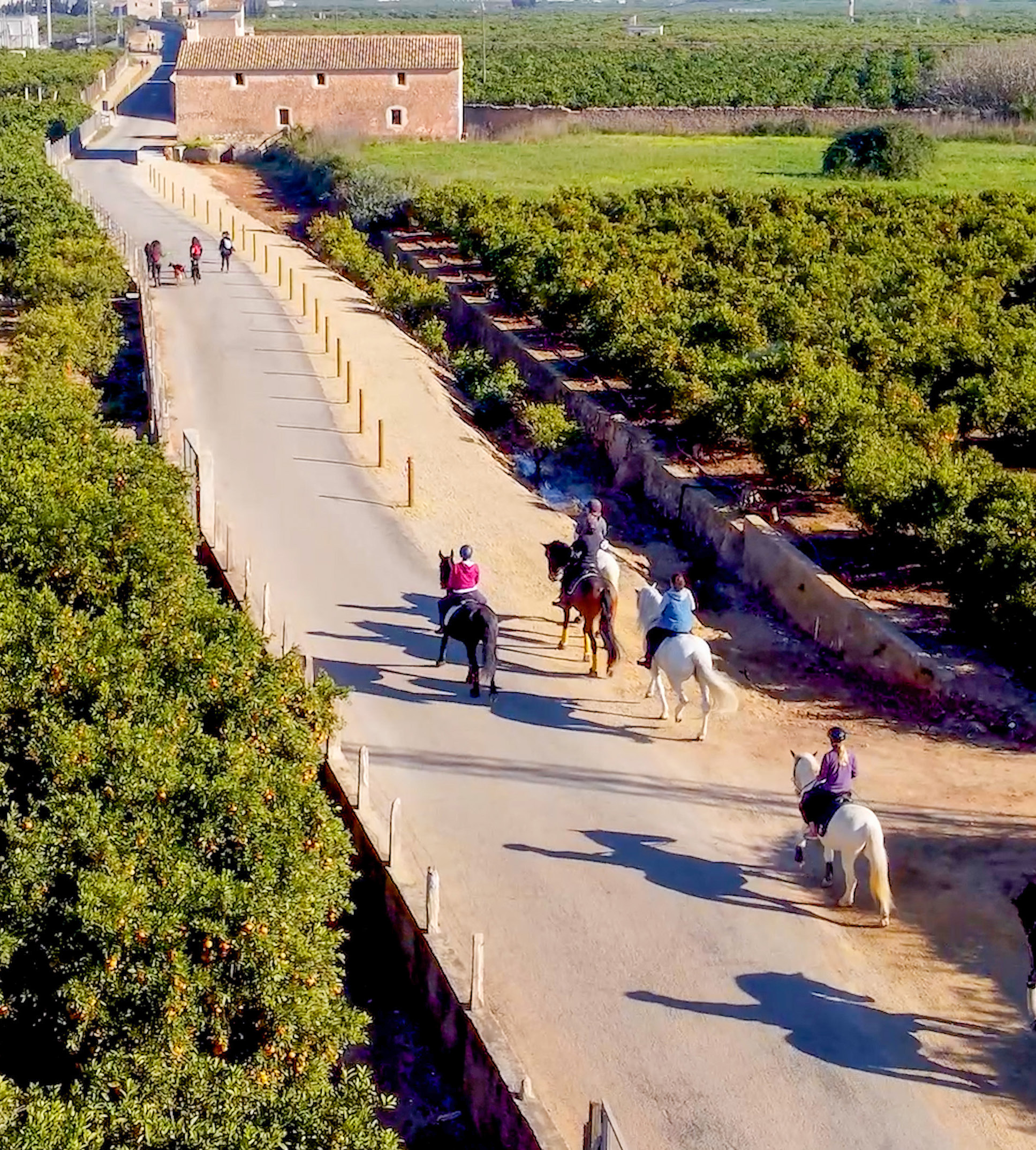 La Valldigna
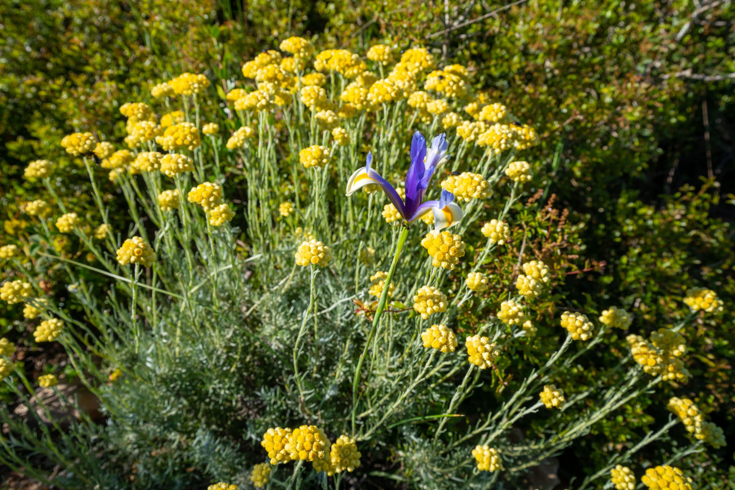 Aigües Vives and La Ribera Alta
Portitxol, Aigües Vives, Carcaixent and Alzira
After leaving La Valldigna, the itinerary approaches the Portitxol pass and the Aigües Vives valley, where the landscape narrows between mountains, orchards and former Trenet passages.
The route continues and finishes around Carcaixent or Alzira, depending on the variant, completing a historic connection between districts that can now be enjoyed on foot or by bicycle.
Points of interest
Along the itinerary you will find natural spaces, historic heritage and perfect places to stop during the route.
River Vaca, springs and agricultural scenery
The route reveals the transition between the coastline, wetlands, citrus groves and rural paths of La Valldigna. The springs and wetland areas near Tavernes add environmental value to the experience.
- Recommended: make brief stops to observe the landscape without entering fields or sensitive areas.
- Best time: spring, autumn and summer mornings.
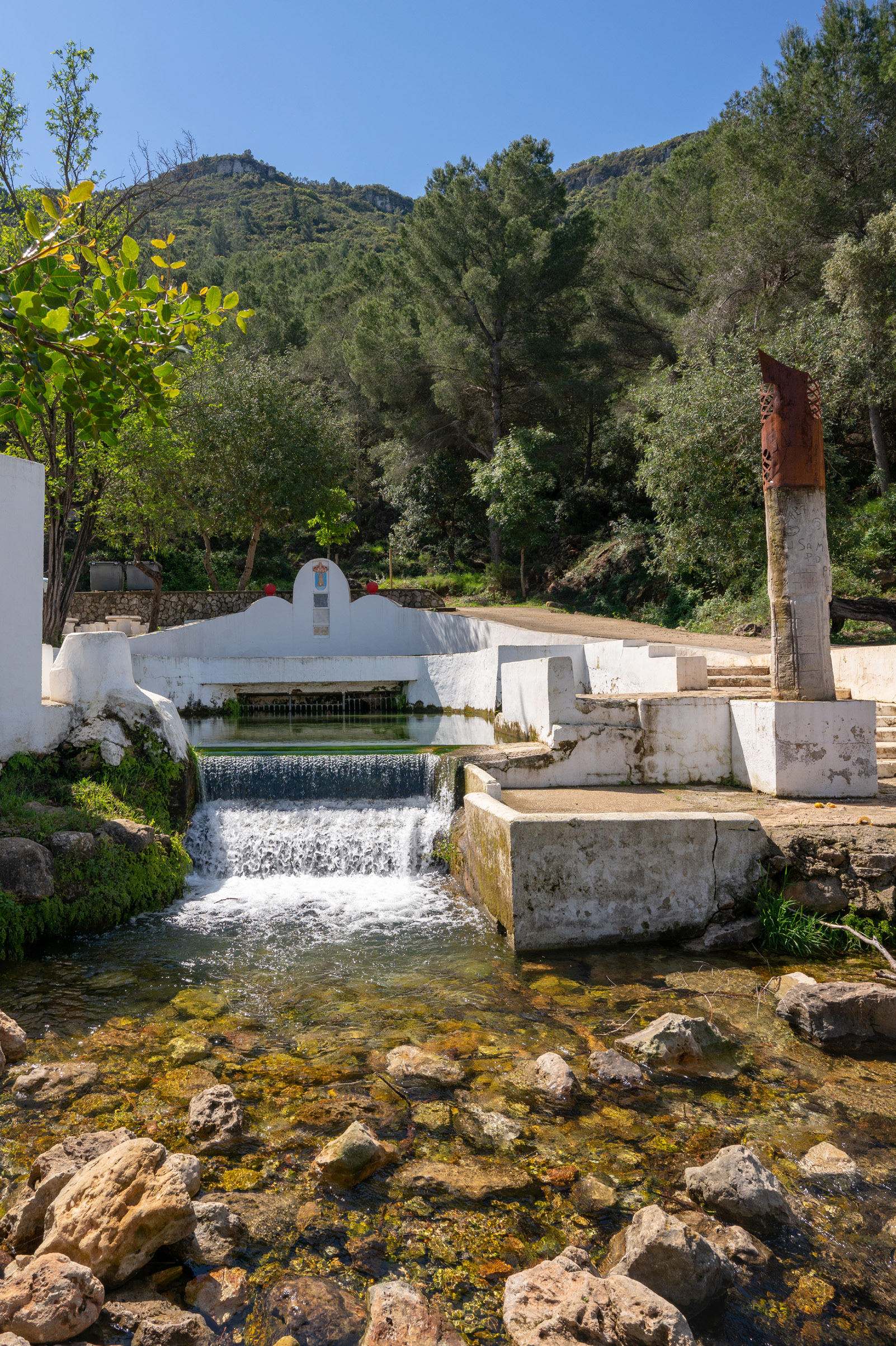 Clot de la Font and nature
Monastery, castle and railway memory
The Monastery of Santa María de la Valldigna, the surroundings of Marinyén Castle, the former railway passages and the elements linked to the Trenet help explain the history of the valley and its relationship with traditional communications.
The route is not only a sports itinerary: it is also a way to explore the cultural heritage of La Valldigna and its connection with La Ribera Alta.
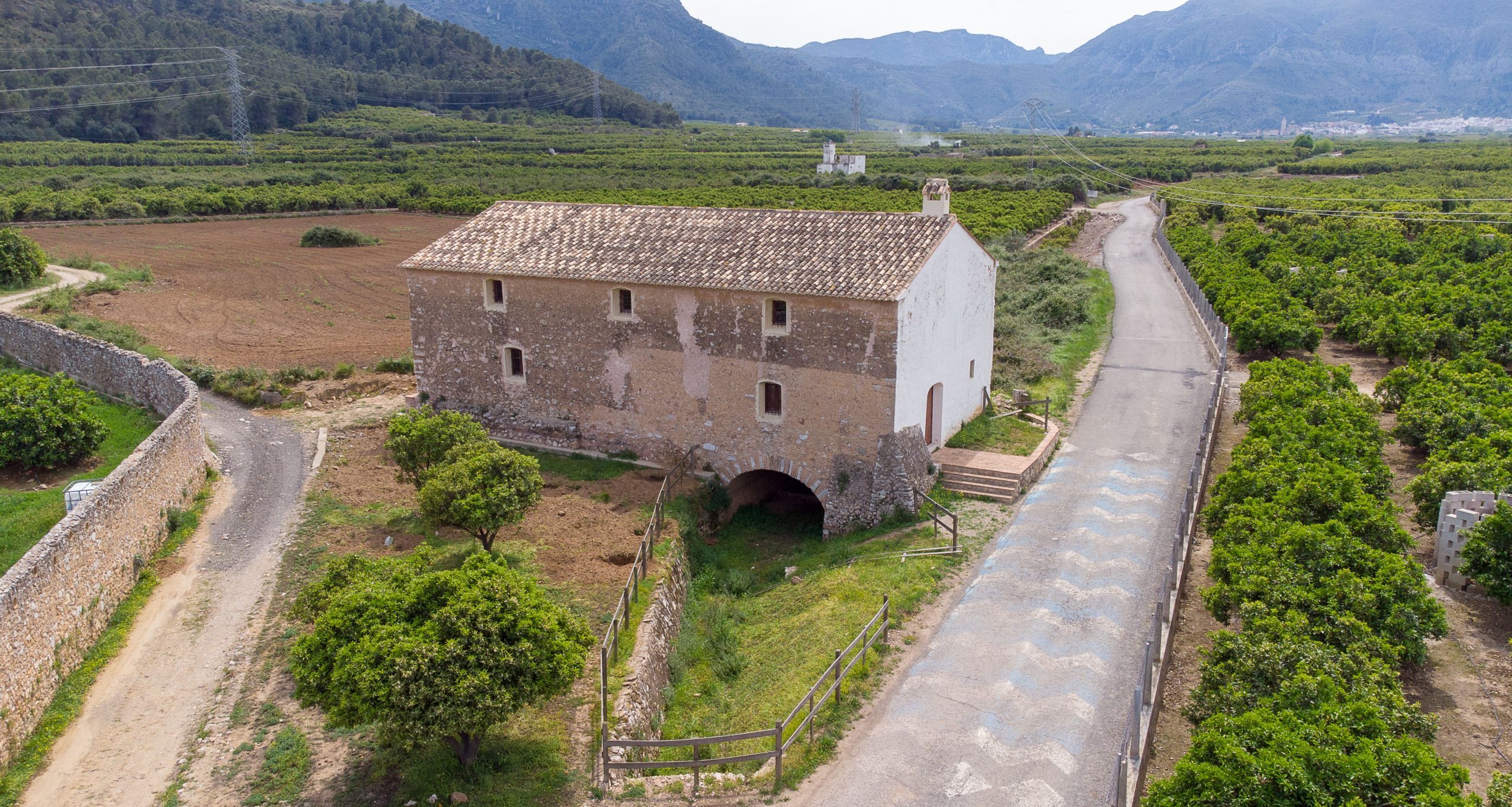 Molí del Pla mill
Tips for enjoying the Antic Trenet Greenway
- Water and sun protection: some sections are exposed, especially on hot days.
- Checked bicycle: bring an inner tube, basic tools and lights if you are returning late.
- Respect crossings: pay attention on roads, agricultural tracks and areas shared with vehicles.
- Protect the environment: stay on the route, do not leave rubbish and respect crops, wildlife and wetlands.
- Linear route: organise your return by train, support vehicle or prior planning.
More ideas to complete your visit
Combina la Antic Trenet Greenway con otros planes de naturaleza, senderismo, playa y experiencias en Tavernes de la Valldigna.

Things to do in Tavernes
The main page for discovering experiences, ideas and different ways to visit the city.
See things to do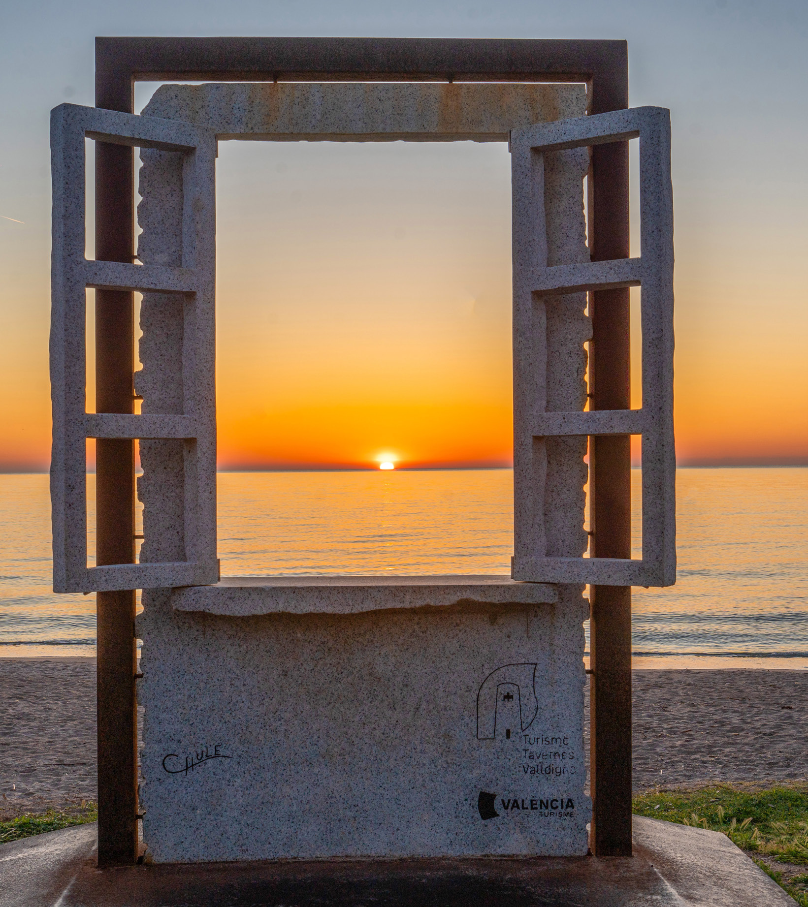
Travel planner for Tavernes
A practical tool for combining nature, beach, heritage, gastronomy and other plans.
Plan your visit
A beach day in Tavernes
An idea for combining the sea, a walk, terraces and Mediterranean atmosphere during your visit.
See beach plan