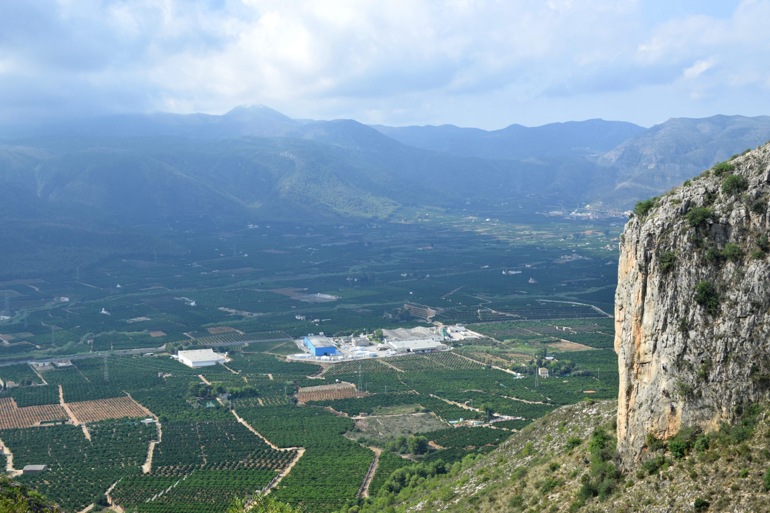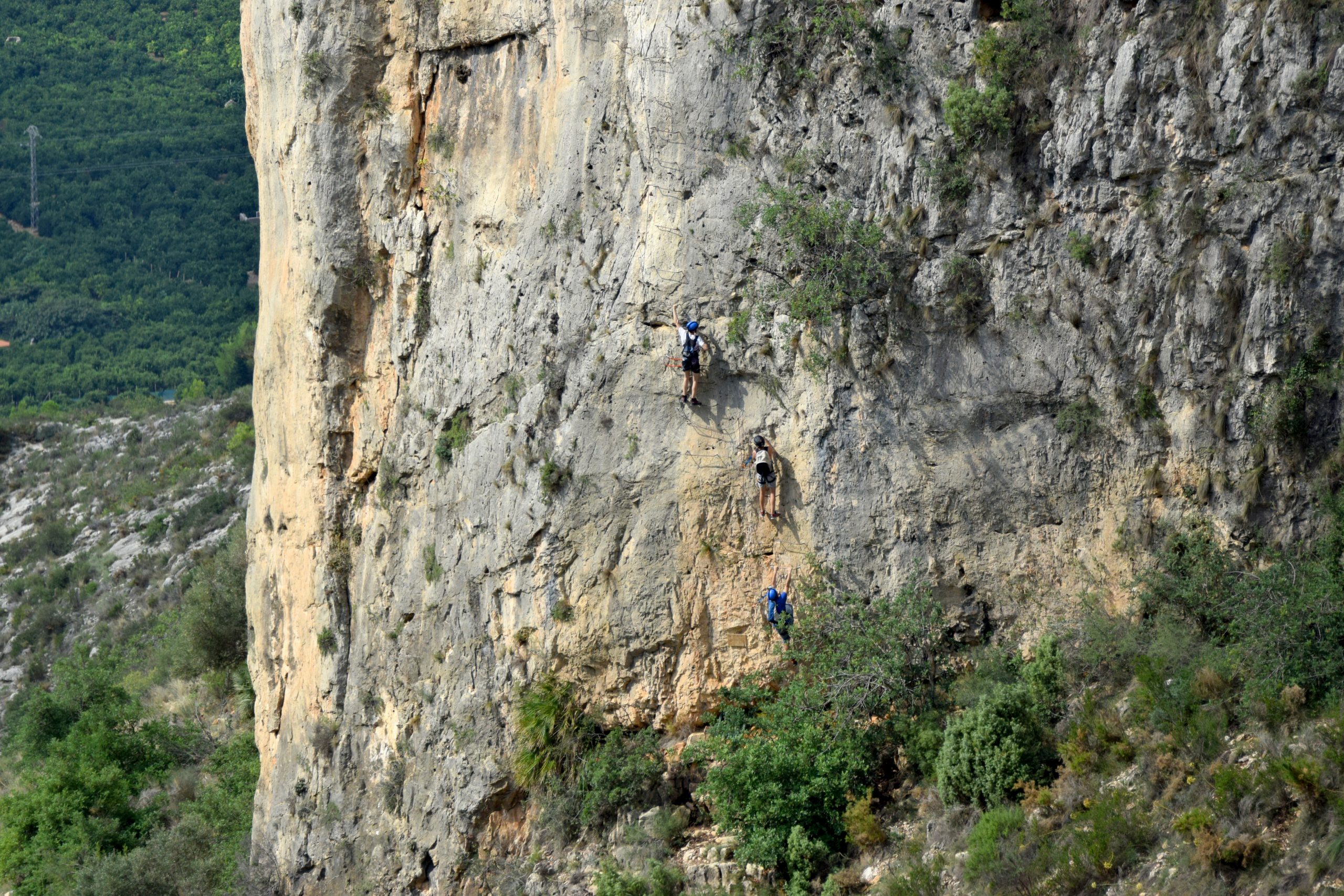



Via Ferrata Les Marujes
The Via Ferrata Les Marujes is a technical mountain activity in Tavernes de la Valldigna, located in the Penya Roja area.
It is not a conventional hiking route. It requires via ferrata experience, certified equipment, checking the condition of the installed protection and planning the route in advance.
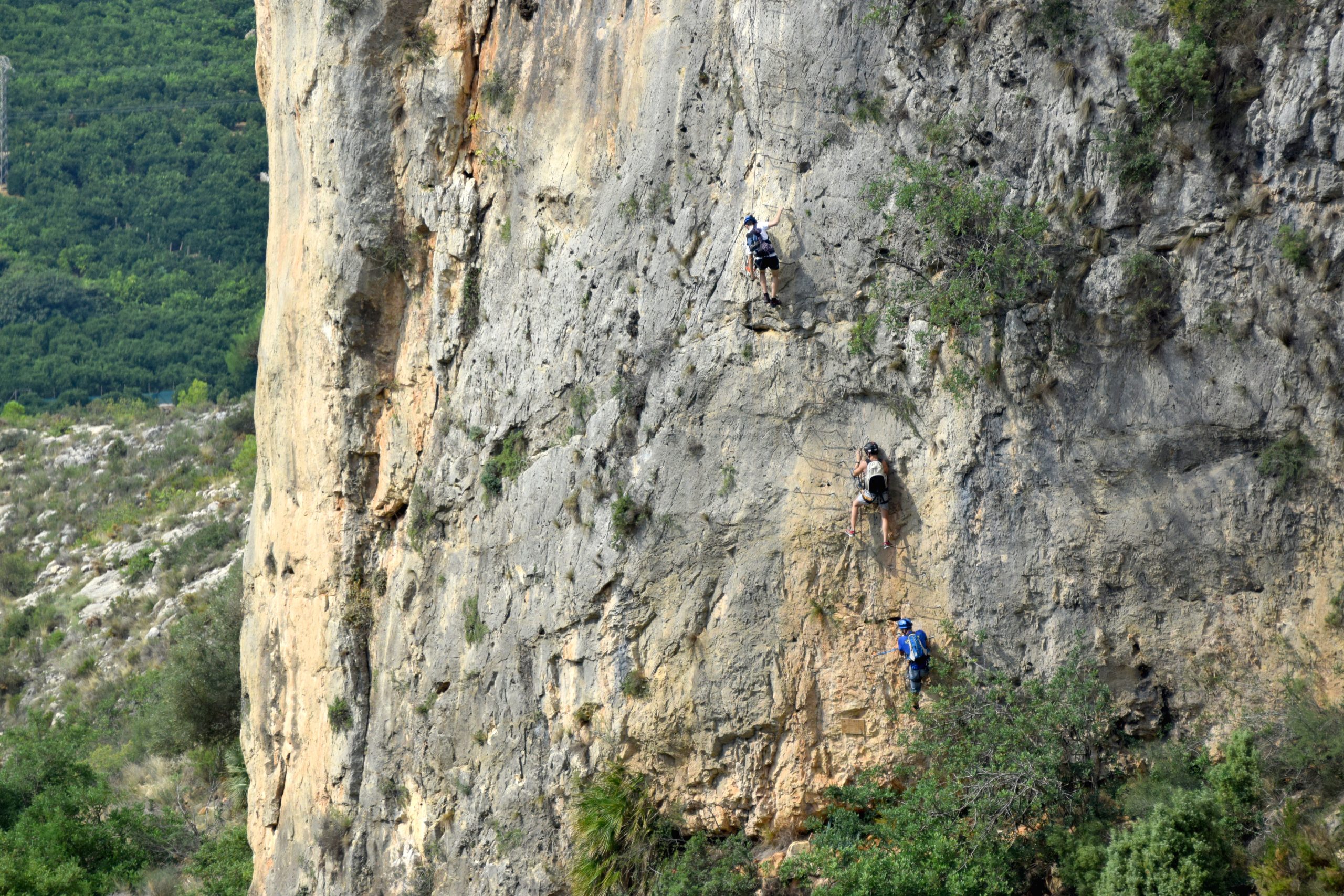
Practical information for Les Marujes
A 4.19 km route with approach, equipped sections and return.
Via Ferrata with vertical and exposed terrain. It must not be treated as a walk or a family trail.
The map includes the start, trail, PR junction, via ferrata sections and return with real coordinates.
Three variants are shown below with hidden maps to avoid overloading the page.
Main map of the Via Ferrata Les Marujes
Via Ferrata Les Marujes
Main Les Marujes route, with an approach trail, equipped sections and return through the Penya Roja area.
Visible points: Parking / start of the route, start of the trail, PR trail junction, reference point, approach trail, start of the Tibetan bridge section, end of the first section, start of the second section…
How to interpret this route
The main route is presented as an orientation reference, not as step-by-step technical instructions. In a via ferrata, the condition of the rungs, cables, equipped passages and weather can affect the safety of the activity.
The approach follows a trail and PR links to the area of the via ferrata. Always follow the signs on the ground and do not leave the route if you do not know the area.
The map points locate the start and end of the equipped sections, including the area around the Tibetan bridge. Do not enter without specific via ferrata equipment.
The route includes junction and return points via the PR trail. Plan the descent with enough daylight, water, stable weather and knowledge of the terrain.
Before doing the Via Ferrata Les Marujes
Les Marujes is a technical, vertical and exposed activity. It should only be done with previous experience, certified equipment and suitable weather conditions. If you do not know the route or do not master via ferrata progression, use specialist guides or companies.
Always check the current condition of the installed equipment before going. This page does not replace updated technical route descriptions, official notices, signs on the ground or the group’s responsible assessment.
Check AEMETOther variants of Les Marujes
Via Ferrata Les Marujes K3
K3 variant of Les Marujes, with an approach trail, equipped sections and return via the PR trail.
Via Ferrata Les Marujes K3/K3+
K3/K3+ variant with parking, Senda dels Amoladors, Tibetan bridge, equipped sections and return.
Les Marujes · Font Sangonera · Pic de la Ratlla · Alt de les Creus
Long circular itinerary linking Les Marujes with Font Sangonera, Puntal de Massalari, Pic de la Ratlla and Alt de les Creus. Only for well-prepared hikers.
Complete your visit to Tavernes
Connect the Via Ferrata Les Marujes with other pages in the nature and hiking section.
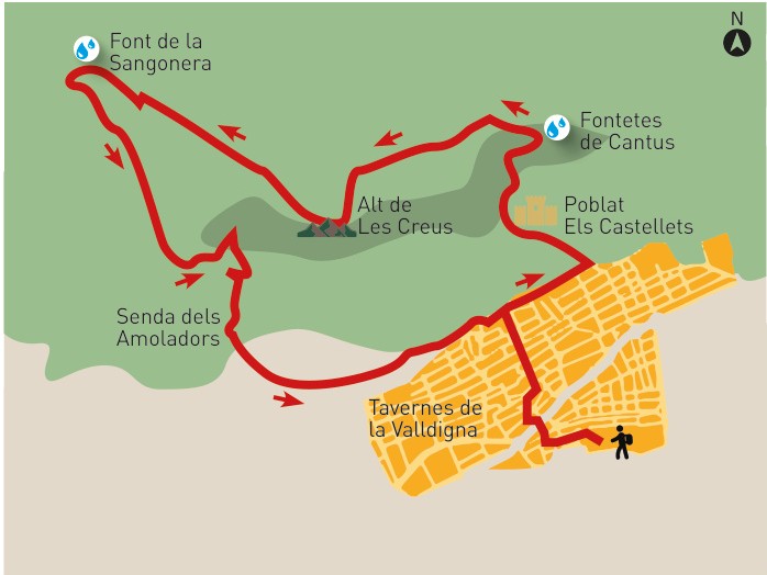
Route of the Crosses
Mountain route through les Creus, Sangonera, Fontetes de Cantus and Senda dels Amoladors.
View route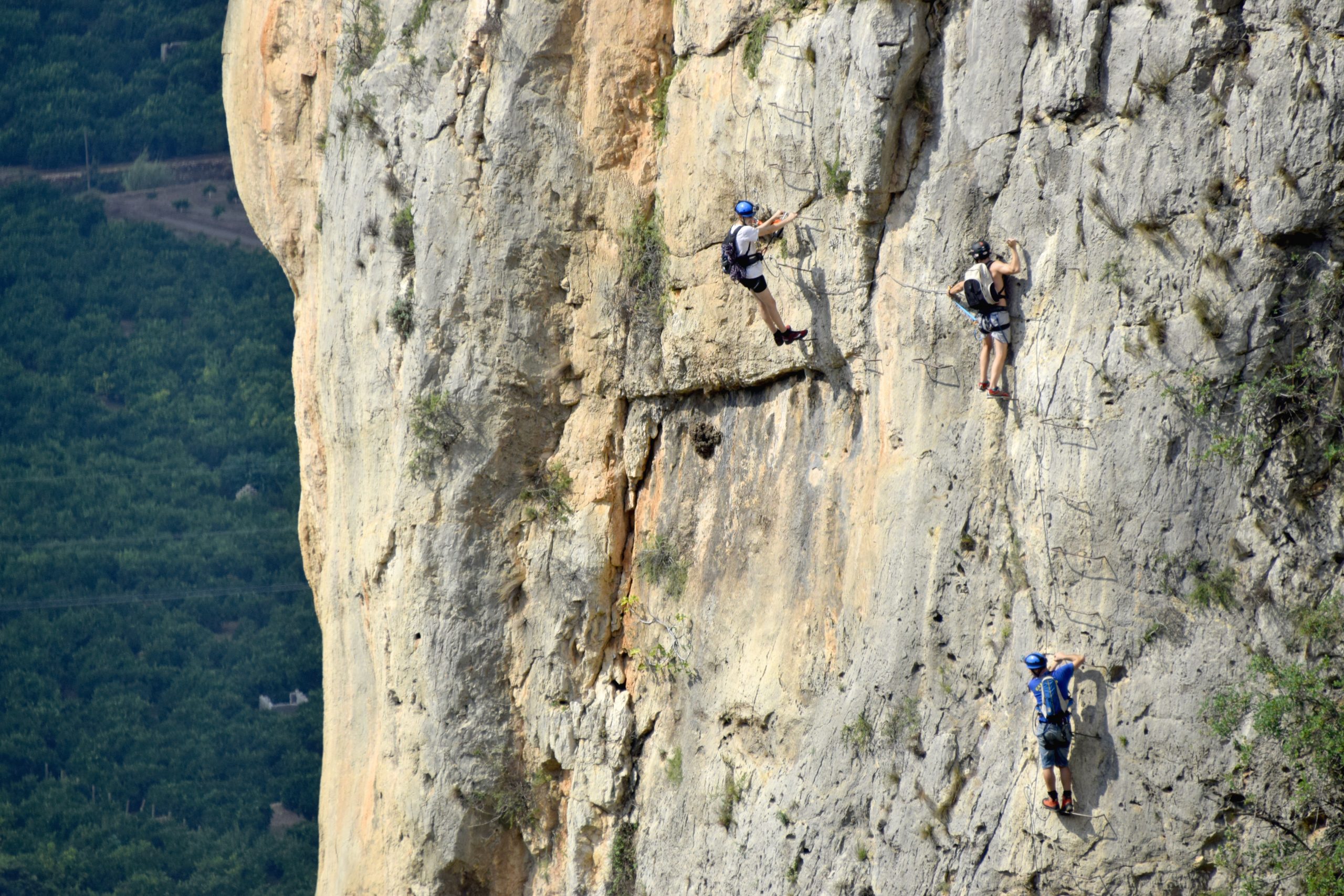
Hiking in Tavernes
Explore other signposted routes and mountain proposals in Tavernes de la Valldigna.
View hiking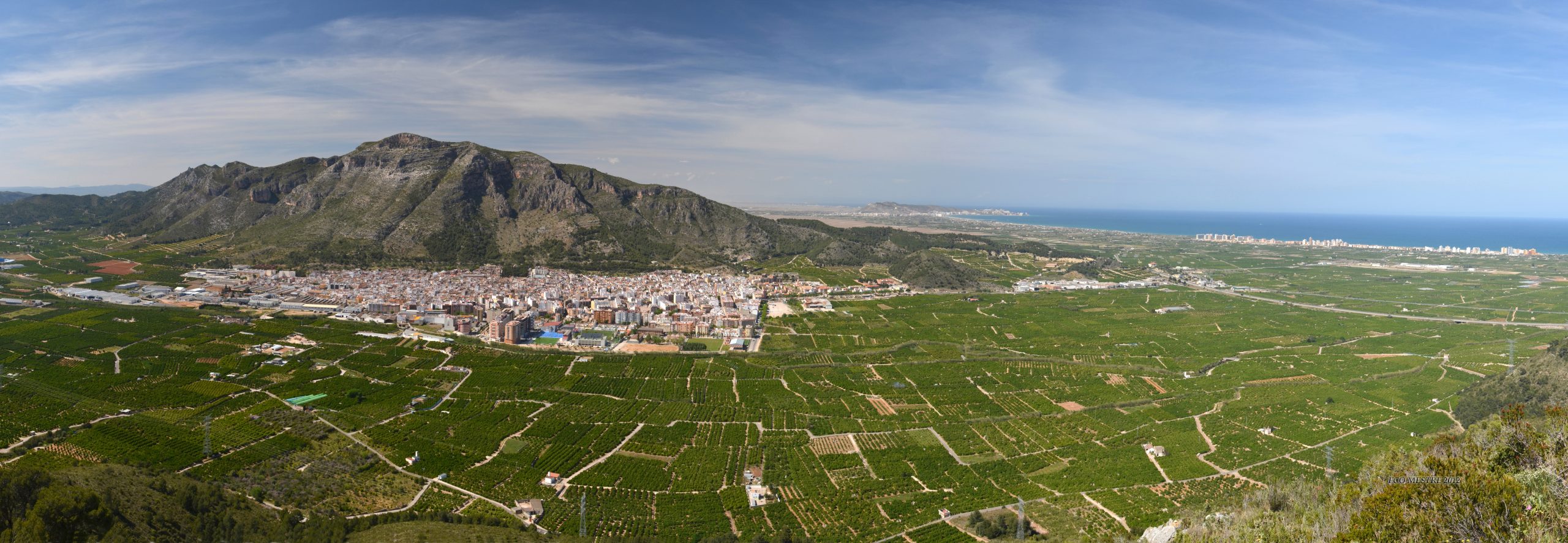
Nature and routes
The gateway to Tavernes’ landscape, mountains, natural areas and nature itineraries.
View nature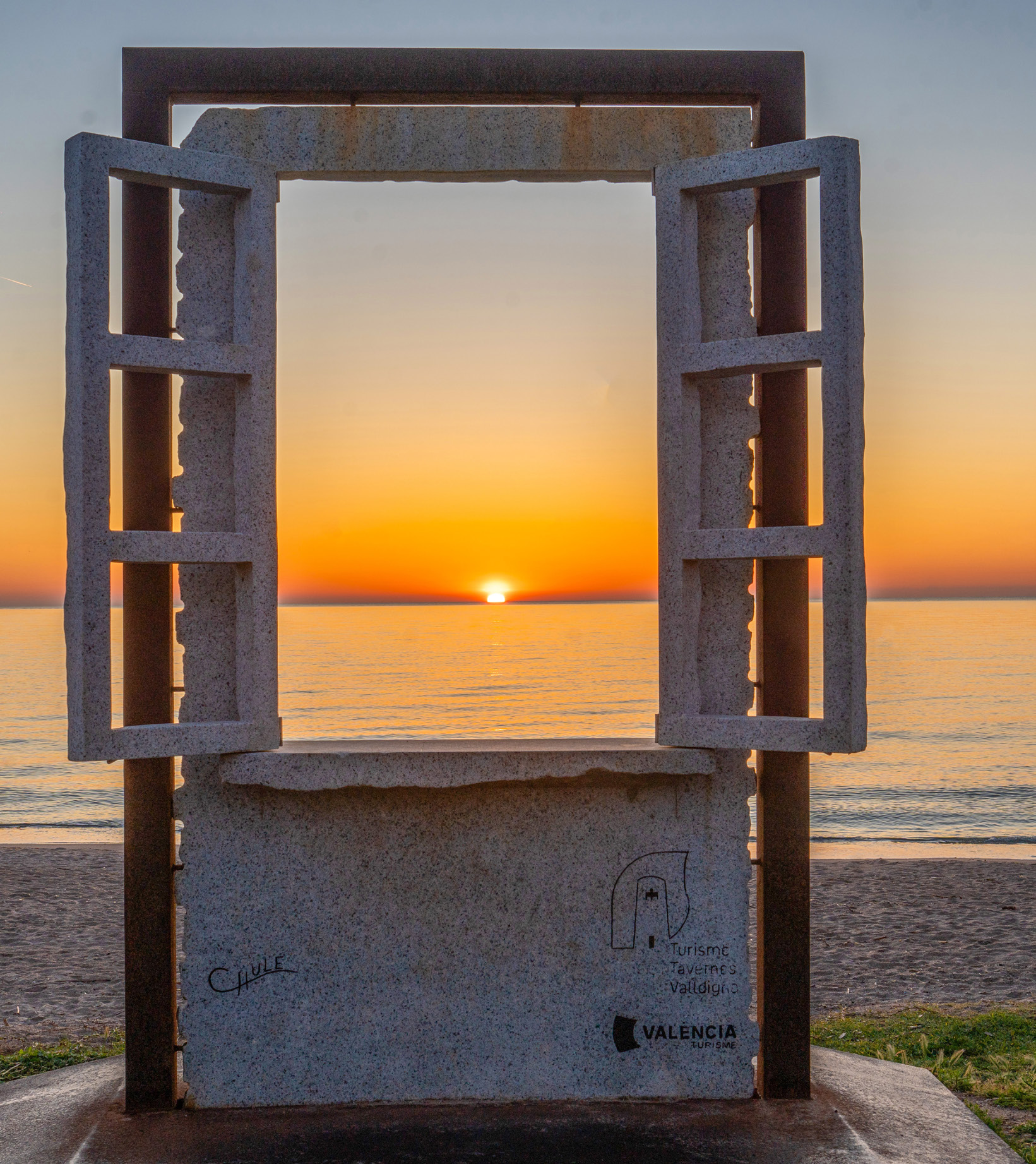
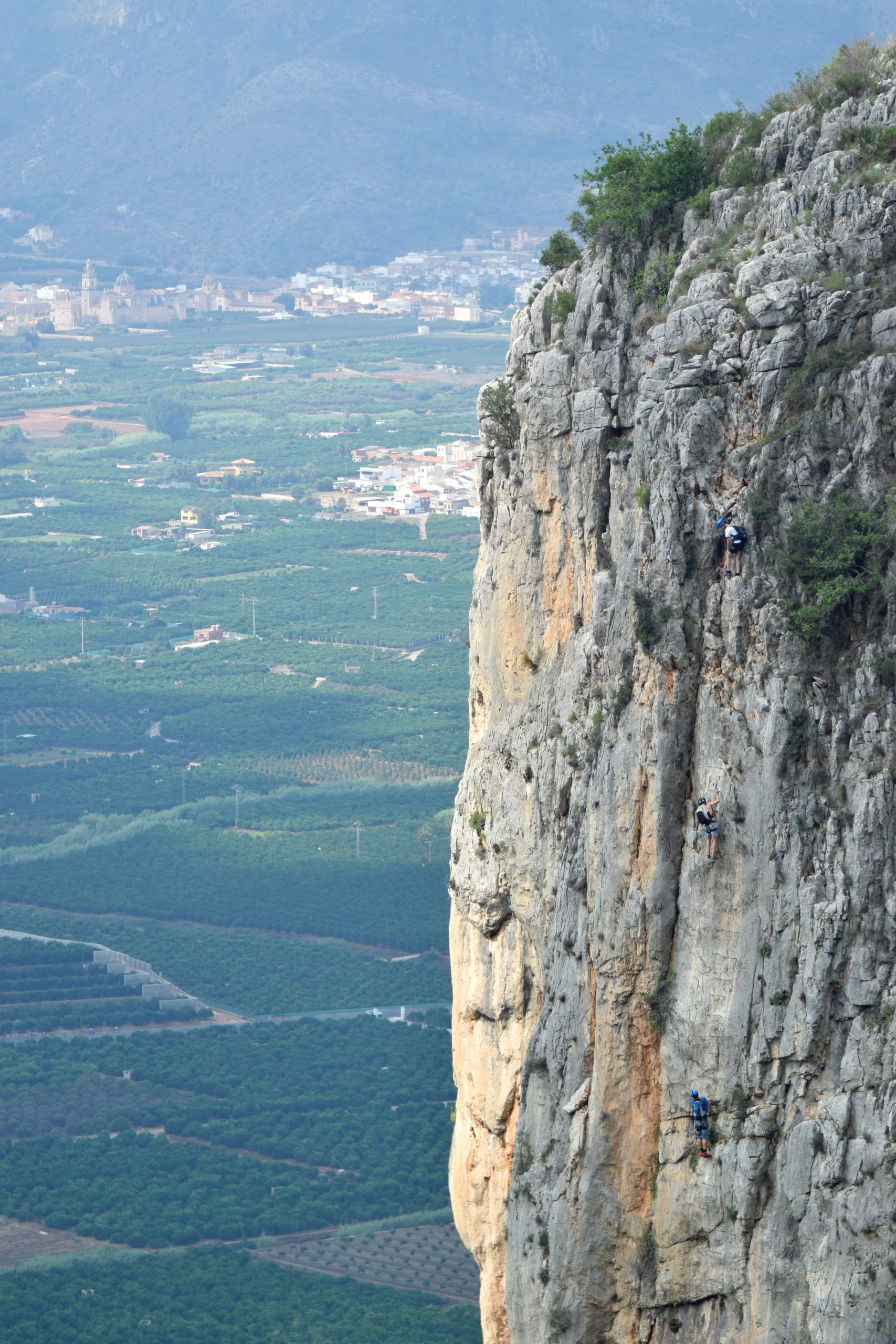
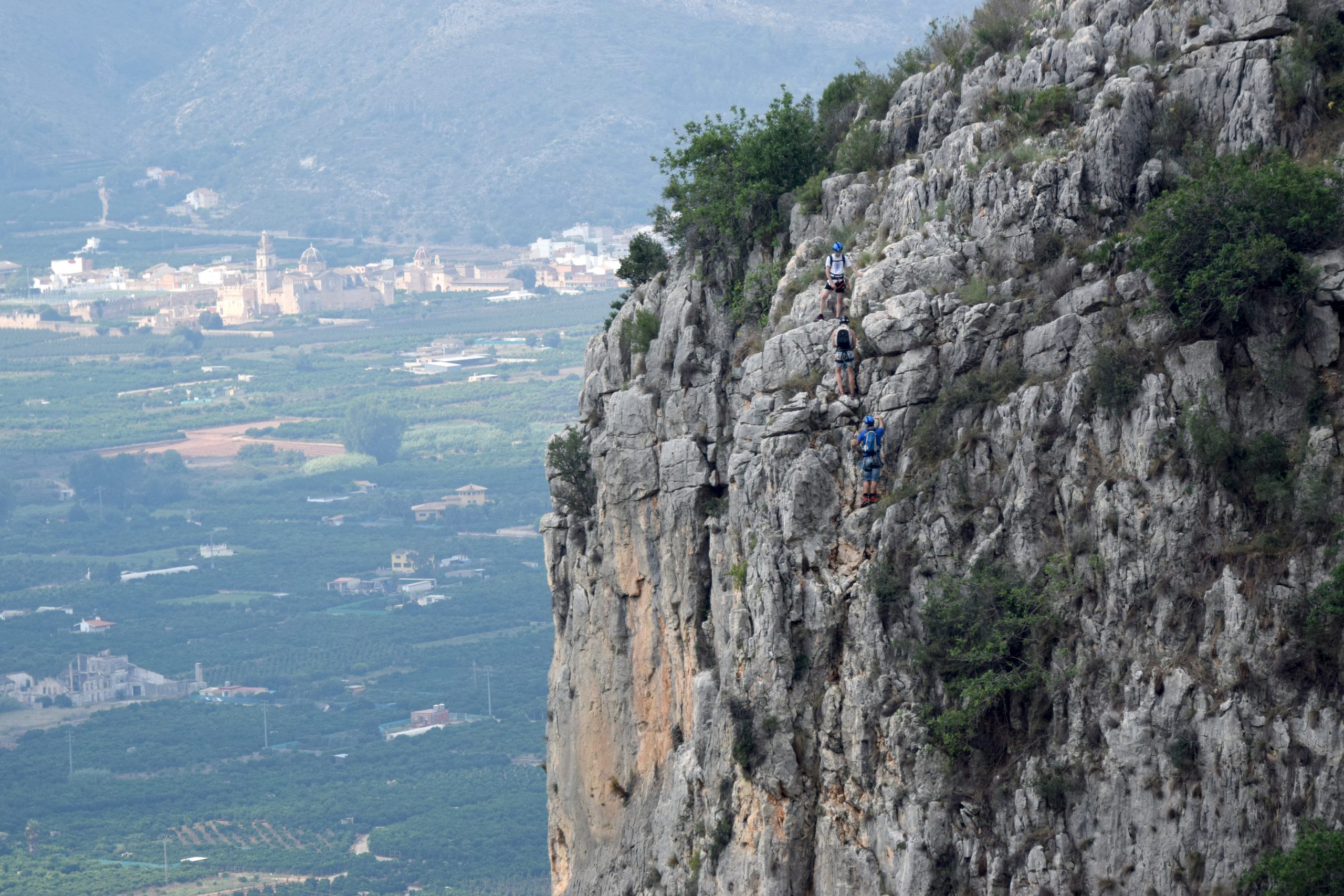
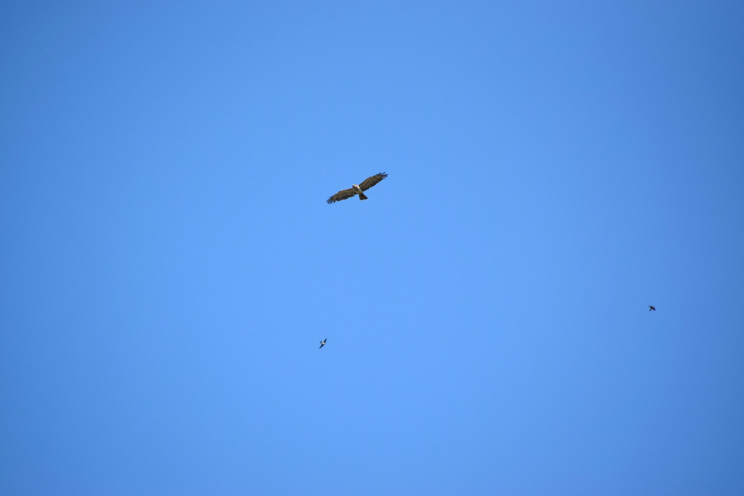
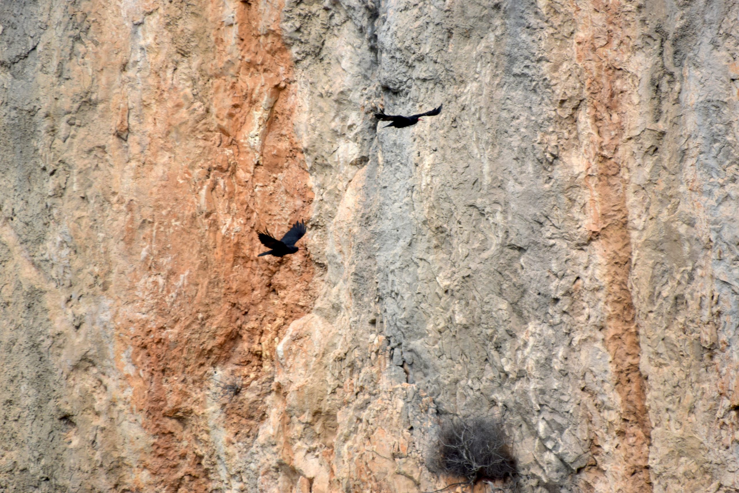
Images of the Via Ferrata Les Marujes
A visual selection of Penya Roja, the via ferrata sections, views of the Valldigna and the les Creus area.