

Nordic Walking in Tavernes de la Valldigna
Tavernes de la Valldigna is an ideal destination for practising Nordic walking among mountains, rural paths, viewpoints and Mediterranean landscapes. The combination of the city centre, market gardens, gentle slopes and natural surroundings makes it possible to design comfortable routes for beginners and longer options for experienced walkers.
This page presents the 1st Tavernes de la Valldigna Nordic Walking Event as the main route, a circular route created to promote the local area. It also includes expandable route options with maps to discover the Tavernes Viewpoint and the circuit linked to the school championship.
 Nordic walking in Tavernes
Practical information about the main route
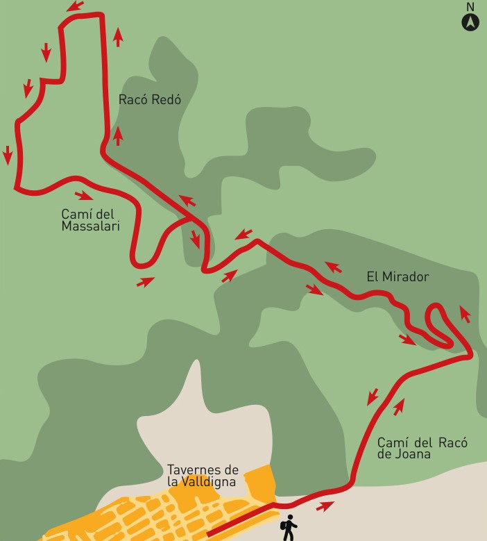
The main route is circular and combines urban sections, agricultural tracks, trails and panoramic areas. It is suitable for Nordic walking as long as the pace is adapted to the group and pole technique is respected.
Interactive map of the 1st Tavernes Nordic Walking Event
1st Tavernes de la Valldigna Nordic Walking Event
Circular local-promotion route for discovering Tavernes and its surroundings through Nordic walking.
Urban start and connection with the paths of Tavernes
The route begins in the urban area and moves towards wide paths, suitable for maintaining the technical movement of Nordic walking. The first part lets you warm up, adjust your pace and gradually leave urban traffic behind.
It is important to respect crossings, walk in an orderly way when in a group and avoid entering fields or service tracks. The route is designed to enjoy the surroundings without having to tackle major technical difficulties.
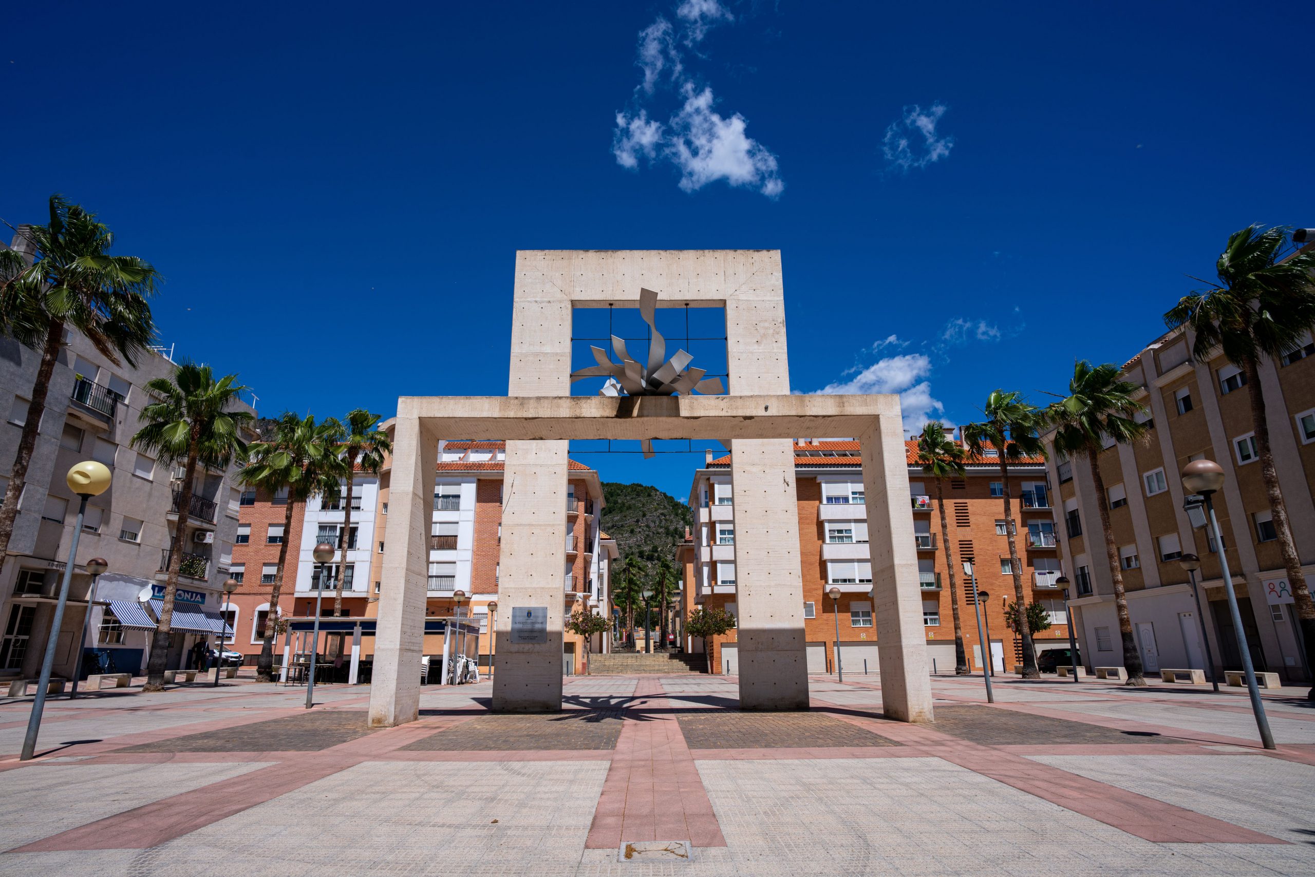 Tavernes drying grounds
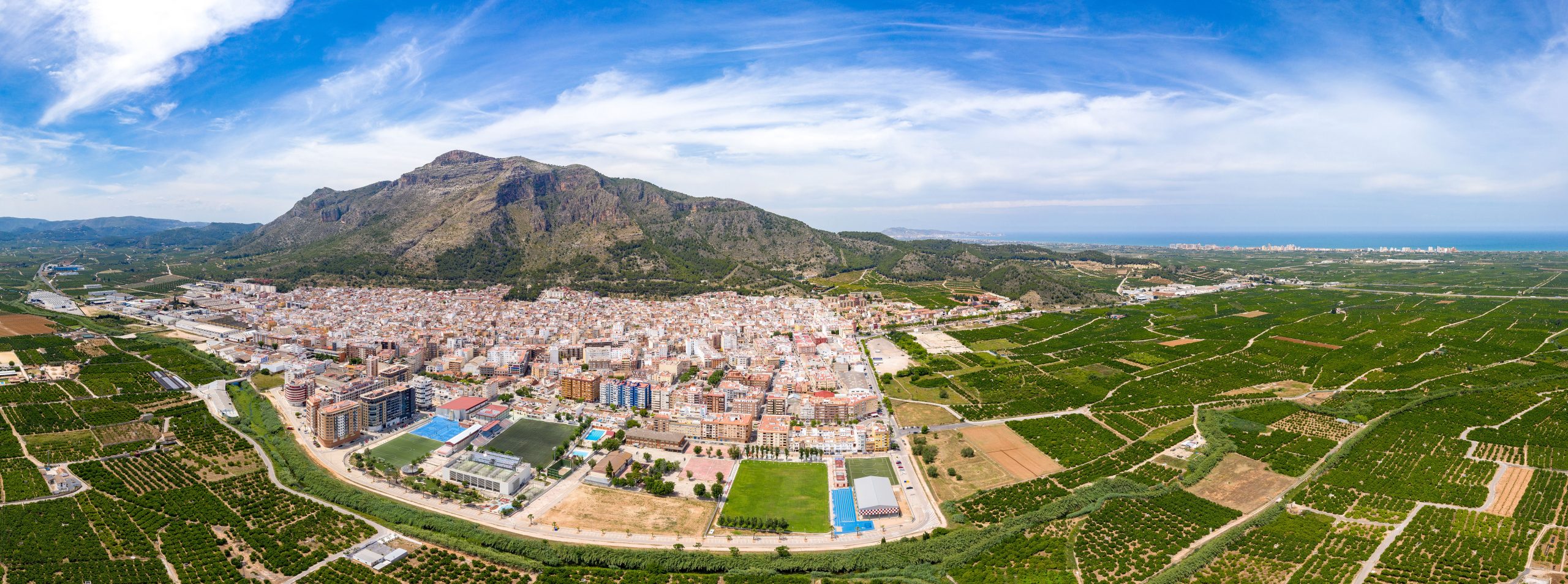 Views of La Valldigna
Market gardens, mountains and Mediterranean landscape
The route combines the agricultural landscape of La Valldigna with the nearby mountains. This variety makes it possible to enjoy a healthy activity in a setting that is highly representative of Tavernes: citrus groves, rural paths, green slopes and open views.
Nordic walking helps you explore these places in an active, low-impact way, working the arms, core and legs in a coordinated movement thanks to the use of specific poles.
Tavernes, a benchmark for Nordic walking
Tavernes de la Valldigna has built a special relationship with Nordic walking through the organisation of events, promotional activities and circuits designed for this discipline. The city has hosted national-level competitions and has a sporting community linked to hiking and mountain sports.
This tradition turns Nordic walking into a tourism proposal with its own identity: a way to discover Tavernes by walking with technique, enjoying the landscape and connecting health, sport and nature.
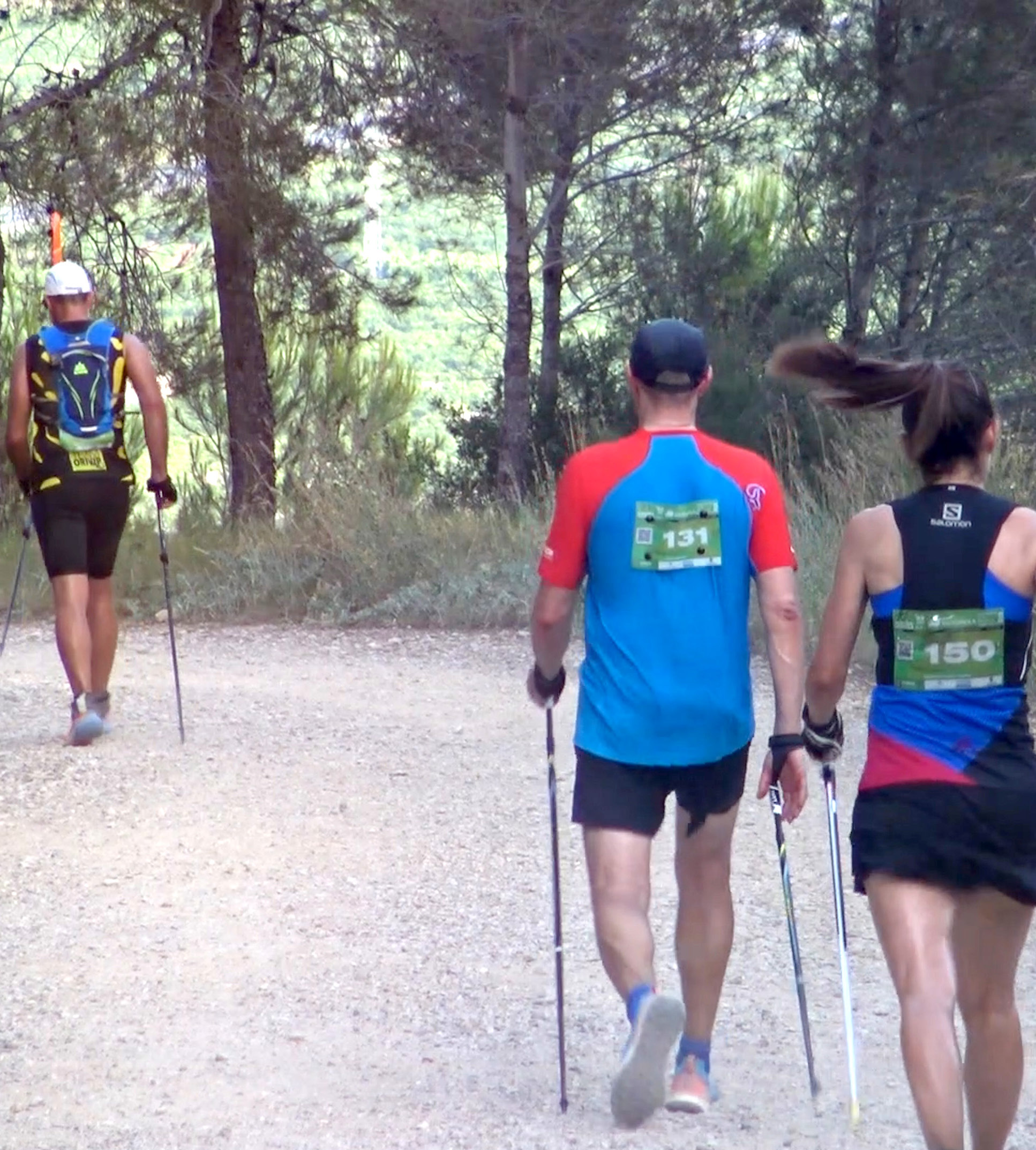 Sports tourism
Step-by-step Nordic walking route
The main route has been organised by areas so visitors can understand the route before setting off.
Start and warm-up
Start from Tavernes, with a comfortable first section to adjust poles, pace and technique.
Transition towards the agricultural area
The route continues along wide paths, suitable for maintaining a steady cadence.
Gradual climb
A gently ascending section towards more panoramic areas, with views of the La Valldigna surroundings.
Orientation point
An area where it is best to follow the route marked on the map and avoid unplanned detours.
Return towards Tavernes
Change from track to asphalt and gradual return towards the starting point.
End of route
The final kilometre back, ideal for lowering your heart rate and closing the activity.
Nordic walking requires specific poles and basic technique. Keep a safe distance from other people, especially in groups, at crossings and in narrow areas.
Before you start
Bring enough water, comfortable footwear, sun protection and Nordic walking poles adjusted to your height. Avoid the middle hours of the day in summer and check the weather forecast. At crossings, take extra care and always respect agricultural paths.
Check AEMETOther Nordic walking routes in Tavernes
Sant Llorenç Hermitage and Tavernes Viewpoint
A more panoramic route combining Nordic walking, the hermitage and views over Tavernes.
School championship circuit
A shorter and more dynamic route linked to the school Nordic walking competition.
More ideas to complete your visit to Tavernes de la Valldigna
Combine Nordic walking with other nature, hiking, beach and experience plans in Tavernes de la Valldigna.
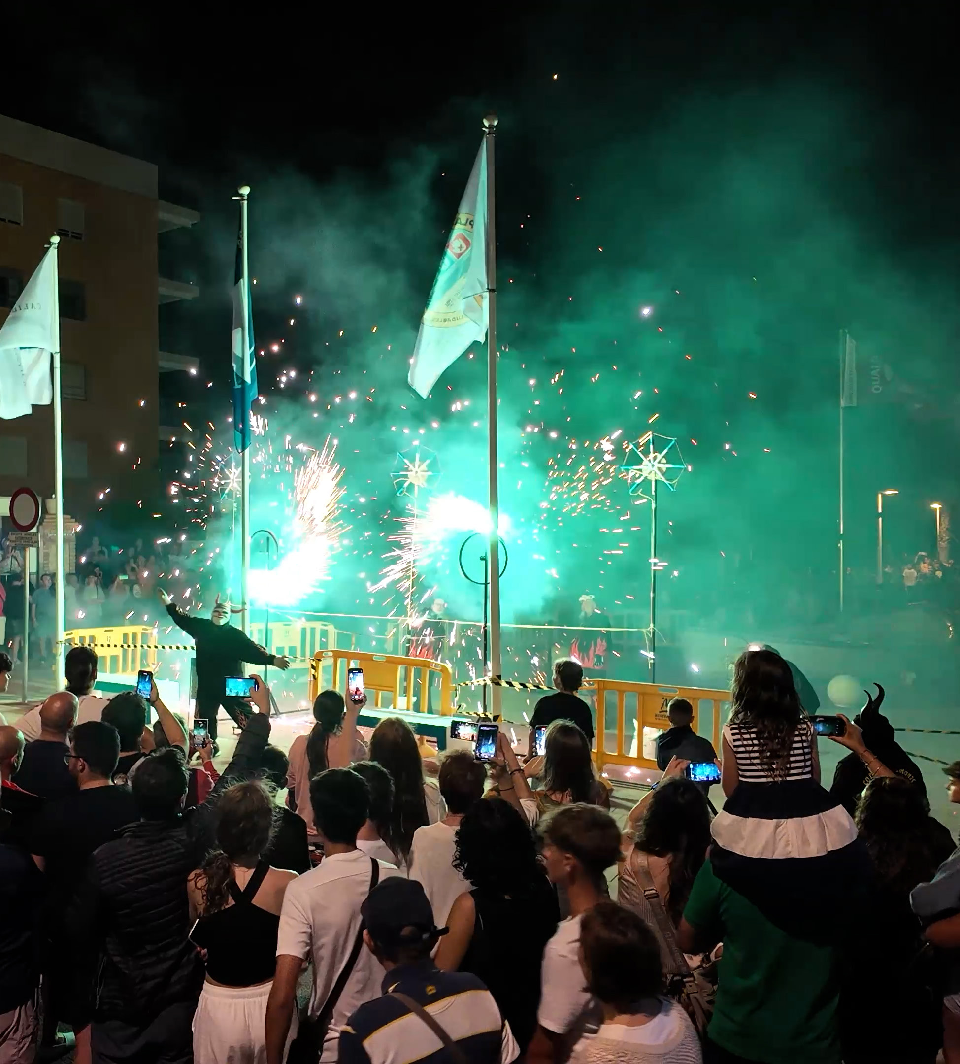
Things to do in Tavernes
The main page for discovering experiences, ideas and ways to visit the city.
See things to do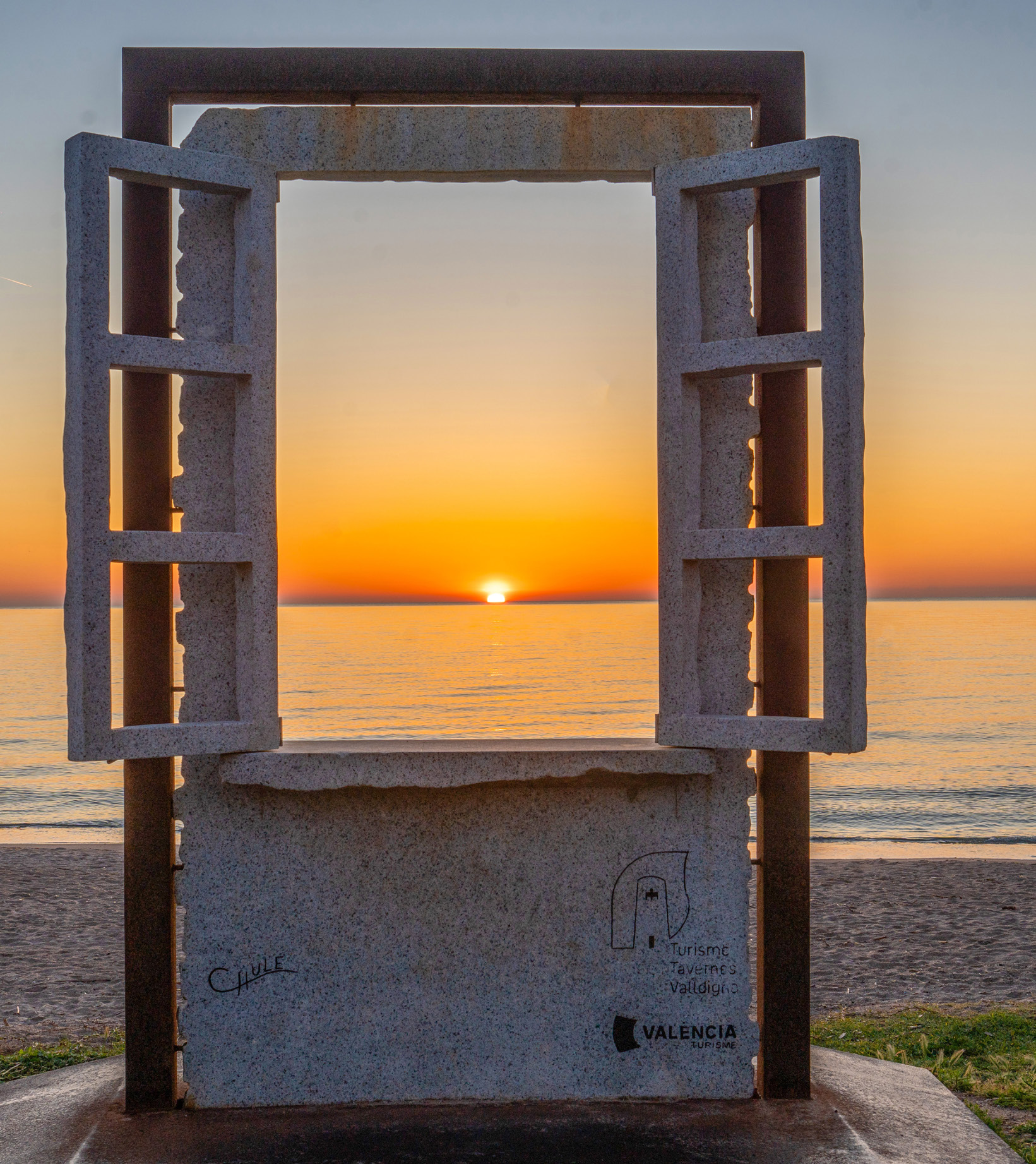
Travel planner for Tavneres
A practical tool for combining nature, beach, heritage, gastronomy and other plans.
Plan your visit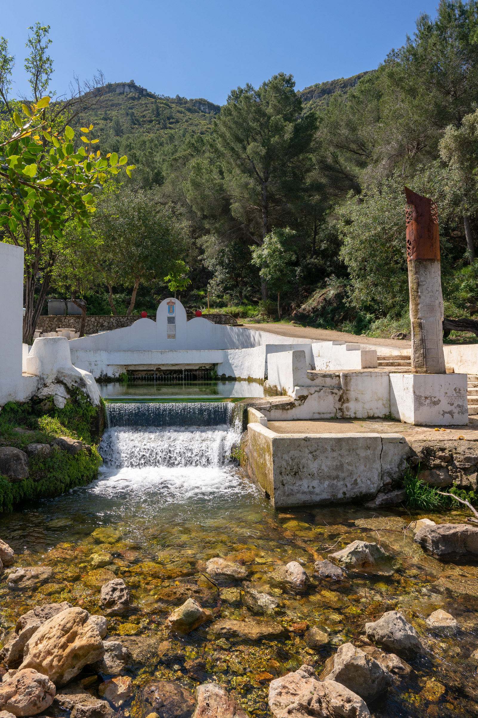
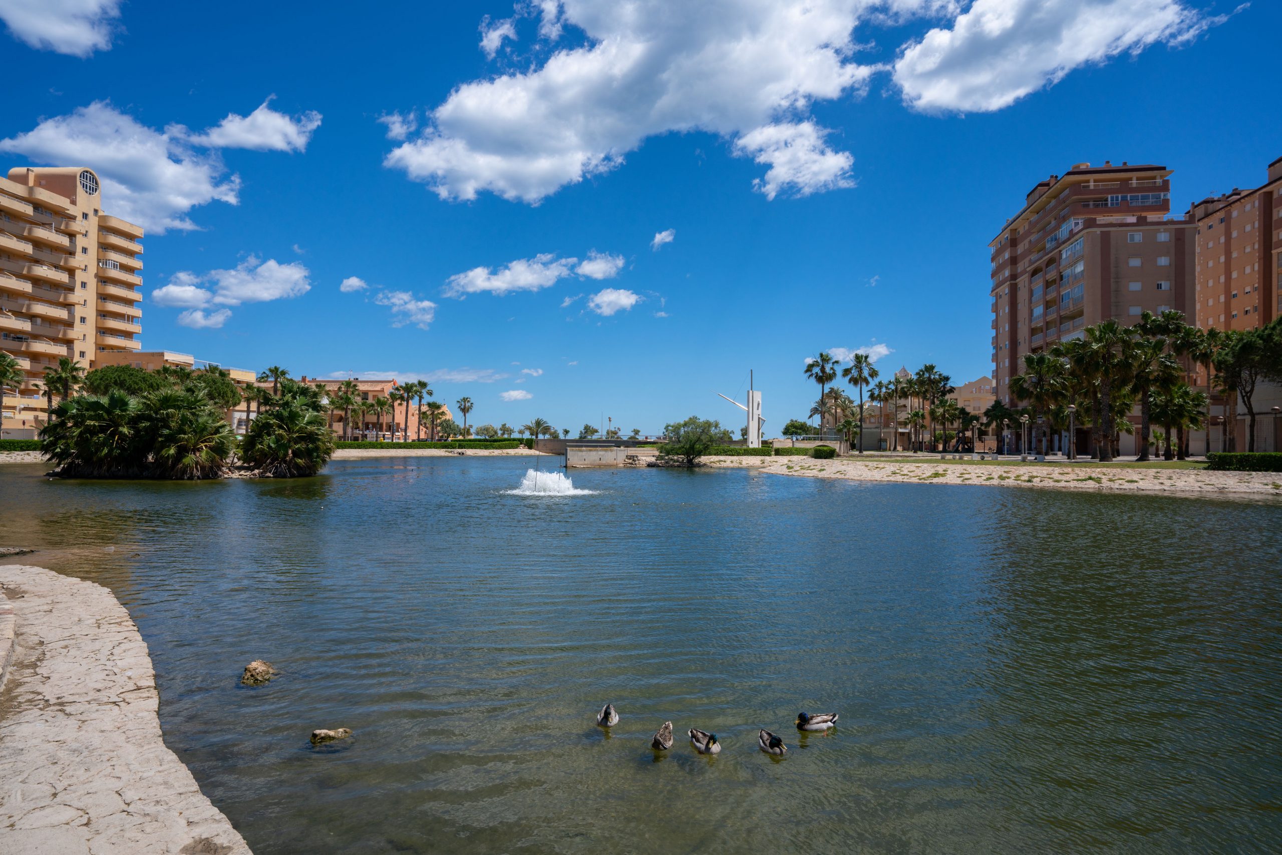
A beach day in Tavernes
A proposal for combining the sea, a stroll, terraces and Mediterranean atmosphere during your visit.
See beach plan