

The Ombria Trek
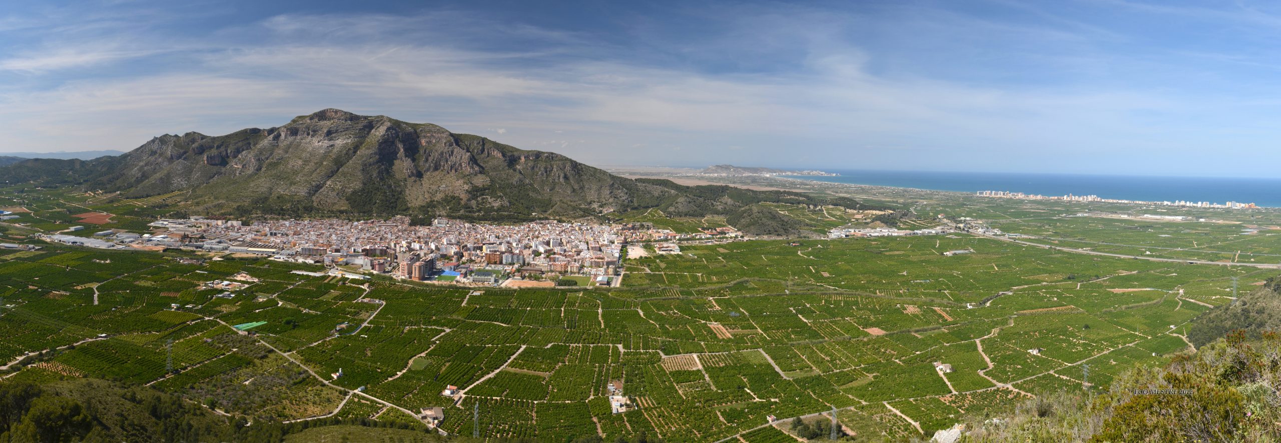
The Ombria Trek, also known locally as Ruta de l’Ombria, is a hiking route in Tavernes de la Valldigna that follows the southern side of the valley through agricultural tracks, ravines, pinewoods, old farming areas and viewpoints towards the sea.
As the official tourism website, this guide sets out the route step by step: start near the sports area, Vaca river, Badell, Camí de la Cadira, Barranc de Cremades, La Cisterna, Pla de les Foietes, Camí de Gandia and return along Camí de l’Ombria.
Practical information for The Ombria Trek
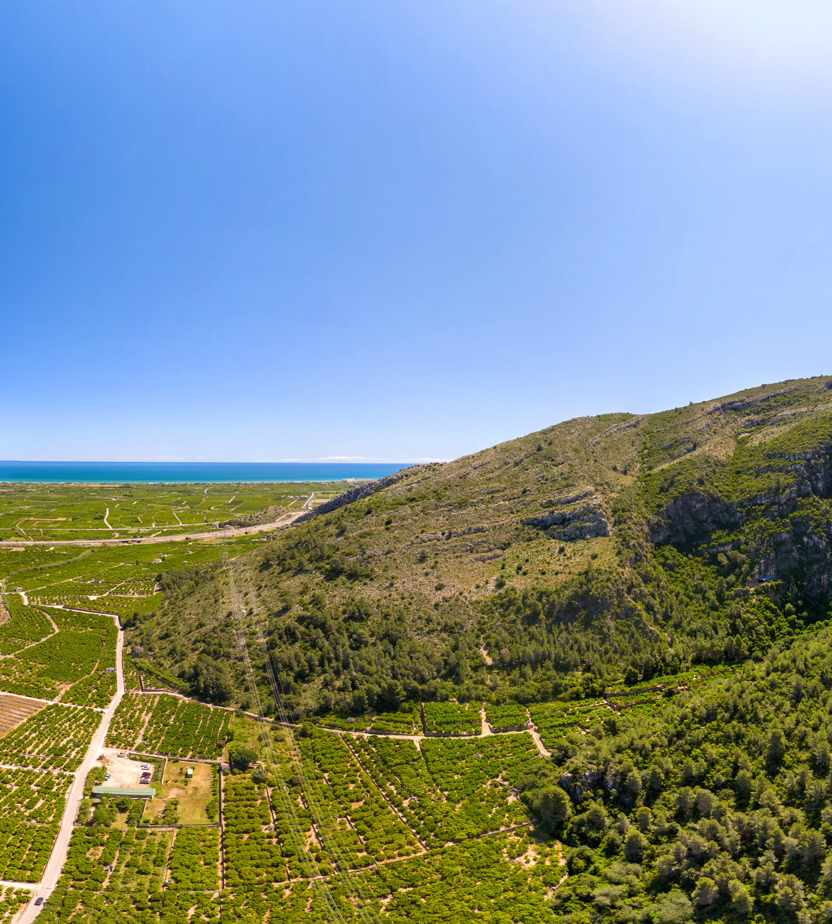
The Ombria Trek is a moderate mountain route through l’Ombria, with several junctions and path sections. Carry the track, check the signage and plan it as a half-day activity.
Carlos Pellicer indoor pavilion / municipal sports centre and access towards the Vaca river.
About 12.6 km, according to the tourist routes and nature leaflet.
About +399 m, with uphill path sections and zigzag stretches.
About 3 hours of walking time, excluding long stops or detours.
Map of The Ombria Trek
Check the track of The Ombria Trek before starting the step-by-step guide.
The Ombria Trek
Custom GPX map of The Ombria Trek, with the main track to check before following the step-by-step guide.
From the sports centre to the Vaca river and Badell
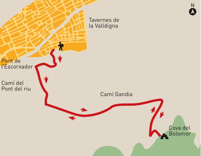
The route starts near the municipal sports centre and follows D. Juan de Austria street, República de Malta square and Corts Valencianes until it reaches the bridge crossing the Vaca river.
After crossing the bridge, there is a three-way junction. Continue along the central path, Camí del Pont del Riu. After about 200 metres, cross the Badell over another bridge and continue to the junction with Camí de l’Ombria.
Camí de la Cadira and Barranc de Cremades
At the junction with Camí de l’Ombria, continue south along Camí de la Cadira until you reach the foot of the mountain. Here the asphalt ends and, after a short dirt section, the path begins.
The ascent zigzags along the left side of Barranc de Cremades, crossing a pinewood. It is one of the clearest mountain sections of the route and should be taken calmly, especially on hot days.
La Cisterna, forest track and Pla de les Foietes
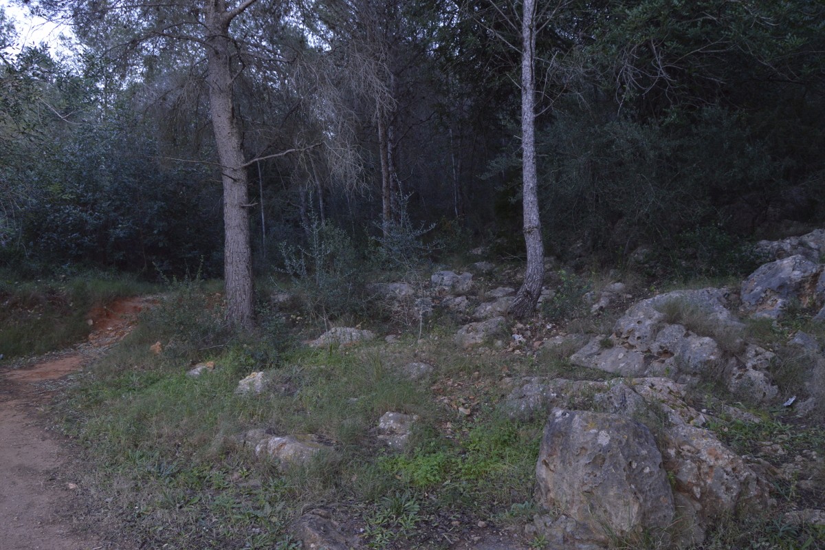
The path reaches the upper section and continues through a flatter area until it joins a forest track. At a fork, take the path on the left, where you will find La Cisterna, an old water tank used to collect rainwater.
The route continues along a pine forest track heading east until it takes a signposted path on the left towards Pla de les Foietes. This section offers views towards the sea, with a panorama stretching from Cullera to the Montgó.
Barranc de les Foietes, Camí de Gandia and Camí de l’Ombria
The route crosses Pla de les Foietes, old abandoned olive fields, until it reaches a house on the right of the path, surrounded by terraces planted with olive trees and fruit trees.
From this point, the path descends in zigzags through Barranc de les Foietes to the foot of the mountain. It then continues among orange groves to Camí de Gandia, where you turn left and head north.
At the next junction, turn left again, heading west. The track leads to Camí de l’Ombria and from there reconnects with the Cadira and Pont del Riu paths to return to the sports centre. In this section you will also see the signposted access to Cova del Bolomor.
Clear summary of The Ombria Trek
Follow this order to understand the main junctions before starting the route.
Start near the sports area, following D. Juan de Austria, República de Malta and Corts Valencianes to the Vaca river bridge.
Cross the Vaca river, take the central Pont del Riu path and pass the Badell until Camí de l’Ombria.
Head south to the foot of the mountain, where the asphalt ends and the path begins.
Zigzag ascent through pinewood until reaching the upper section and joining the forest track.
Old water tank, forest track, signposted path and views towards Cullera, the coast and the Montgó.
Descent through Barranc de les Foietes, orange groves, Camí de Gandia and return along Camí de l’Ombria.
Other routes related to The Ombria Trek
Compare variants via PR-CV 51, Clot de la Font, Bolomor, Castell de Marinyén, Senda de la Cadira and Pla de les Foietes.
PR-CV 51 V1 de l’Ombria
Signposted PR-CV 51 variant, useful for understanding the junctions between Camí de l’Ombria, Camí de la Cadira and Camí del Pont del Badell.
Clot de la Font, l’Ombria and Castell de Marinyén
A more heritage-focused route connecting l’Ombria with Clot de la Font, Pla de la Figuera and the surroundings of Castell de Marinyén.
Cova del Bolomor, Casa de l’Ombria and Pla de les Foietes
Alternative route combining the archaeological surroundings of Bolomor with Casa de l’Ombria and Pla de les Foietes.
Senda de la Cadira, Pla de la Figuera and Pla de les Foies
Mountain variant through l’Ombria and PR-CV 51, with Camí de la Cadira, Barranc de Cremades and Pla de les Foies.
Before doing The Ombria Trek
Bring enough water, mountain footwear, sun protection and a charged phone. The route combines asphalt, agricultural tracks, mountain paths, forest tracks and zigzag descents, so it is advisable to check the route before setting off.
In summer, avoid the hottest hours of the day. If you decide to link with Bolomor, Clot de la Font, Castell de Marinyén or other PR-CV 51 variants, check the track and total duration carefully.
Check AEMETComplete your visit to Tavernes
Combine The Ombria Trek with other pages from the hiking, nature and travel planning sections.
The Granata Trek
Another route on the Les Creus mountain, with Font de la Granata and mountain tracks.
See The Granata Trek