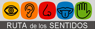
Ruta dels Sentits
Ruta dels Sentits is one of the most distinctive nature experiences in Tavernes de la Valldigna. The route connects the beach, the marshland, the agricultural plain and the forest surroundings in a single proposal based on nature, landscape and environmental education.
Recognised as a Blue Trail and highlighted by URBACT as a good practice, the route combines sustainability, accessibility and local participation to bring the landscape closer to residents and visitors.
 Ruta dels Sentits
A route for reading the landscape
Ruta dels Sentits is born from the coexistence of very different ecosystems within the same city. It is designed to reveal the environmental value of Tavernes, promote sustainable tourism and help visitors understand the importance of water, the coast, the agricultural plain and the mountains.
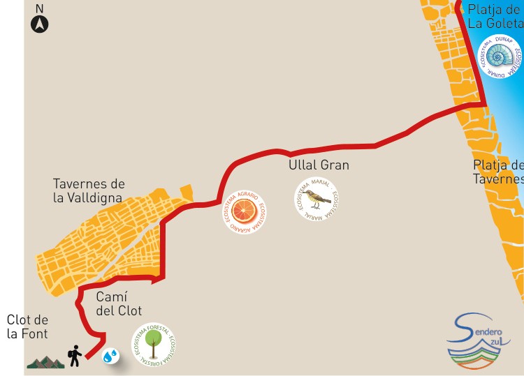
Around 10.1 km
A route to enjoy without rushing, crossing natural spaces and transition areas between the beach and the inland landscape.
Approx. 3 h
It is best planned as a half-day activity, especially for visitors who want to stop and observe the landscape and the interpretation resources along the way.
Blue Trail and URBACT
The route has been highlighted for its environmental, educational and accessibility values linked to sustainable tourism.
Four landscapes
Dune habitat, marshland, agricultural landscape and forest: four forms of nature that explain the environmental diversity of Tavernes.
Images from the route
Before going into the ecosystems in detail, these images help show the type of landscape and environmental diversity that accompany Ruta dels Sentits.
 Dune ecosystem
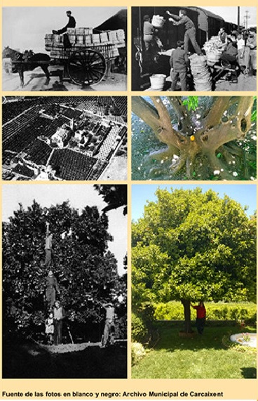 Reading the landscape
The four ecosystems along the route
To avoid fixed text inside images, this version rebuilds the information as accessible, editable HTML content prepared for SEO.
The living coast
The dunes reveal the fragility and beauty of the coastline, with vegetation adapted to wind, salt and sand. They are essential for protecting the beach and preserving coastal biodiversity.
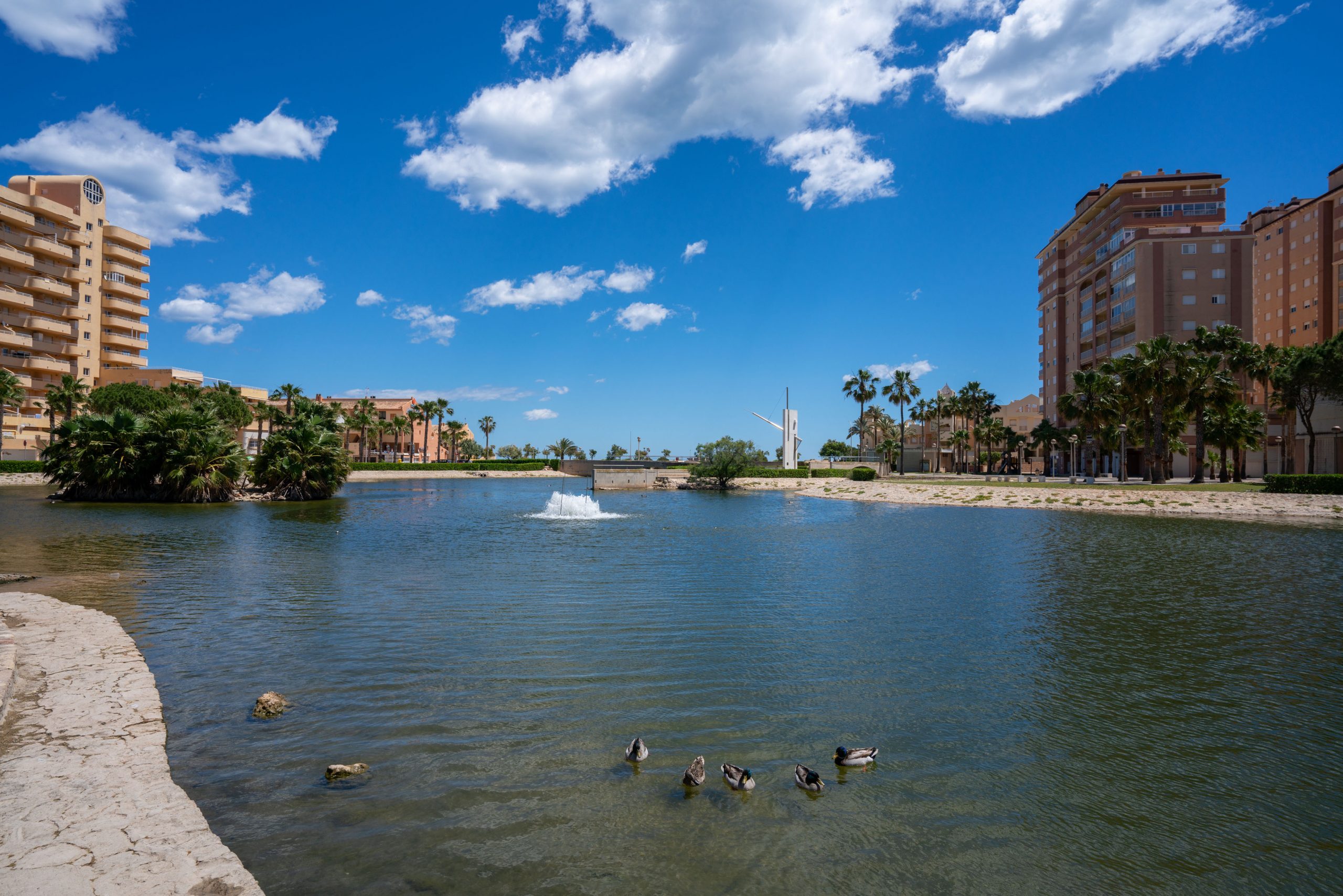
Water and biodiversity
The springs and wetlands are linked to groundwater and provide refuge for wildlife. They help explain the relationship between La Valldigna, water and the most sensitive natural areas.
The agricultural plain and crops
The fields and agricultural paths explain the historic relationship between Tavernes, water and work on the land. This landscape helps interpret the city’s agricultural identity.
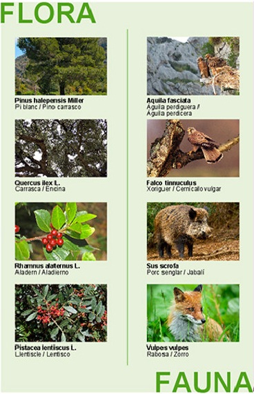
The shade of the mountains
The forest section brings the route close to the Ombria landscape and the inland natural areas of Tavernes, with Mediterranean vegetation and a sense of natural shelter.
More than a route: a good environmental practice
Ruta dels Sentits is also a project for restoring coastal natural and ethnological heritage, with social, educational and tourism benefits. Its value lies in combining landscape, accessibility, participation and environmental conservation.
 Flora and fauna
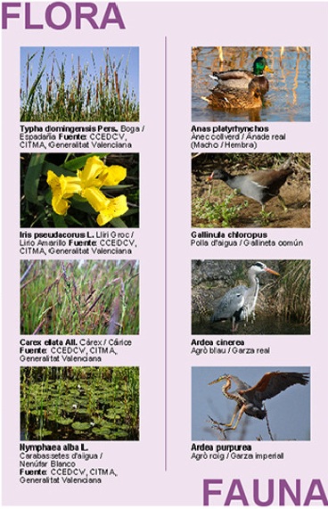 Marshland and biodiversity
Accessibility, education and participation
The project includes resources that make it easier to interpret the landscape: signage, sensory reading, environmental information and an inclusive approach aimed at making the route accessible to different audiences.
Braille, QR codes and audio guides
The route includes information resources designed to make the visit easier, with QR codes and explanatory audio guides in Valencian, Spanish and English.
Learning from the land
The ecosystems along the route help explore environmental conservation, biodiversity and the relationship between coast, water, agricultural land and mountains.
A shared route
The improvement and maintenance of the route have been linked to local initiatives, employment workshops, volunteering and educational activities.
An experience to enjoy slowly
Ruta dels Sentits is not just a nature itinerary. It is also a way to understand the relationship between natural spaces, the memory of the territory and the wellbeing of the people who visit it.
The route is especially interesting for families, schools and visitors looking for a peaceful, respectful activity connected with the nature of Tavernes.
Flora, fauna and reading the landscape
The route lets visitors observe how the landscape changes and how each ecosystem preserves its own species, forms of life and environmental values.
 Ecosystem and biodiversityMarshland, flora and fauna
Interactive map of Ruta dels Sentits
An interpretive route linked to the landscape of Tavernes de la Valldigna, prepared as an institutional resource by Visita Tavernes.
Institutional source: Tavernes de la Valldigna City Council · Visita Tavernes. Base map: OpenStreetMap.
More ideas to complete your visit
Combine Ruta dels Sentits with other nature, hiking, beach and experience-based plans in Tavernes de la Valldigna.

What to do in Tavernes
The main page for discovering experiences, ideas and ways to visit the city.
See what to do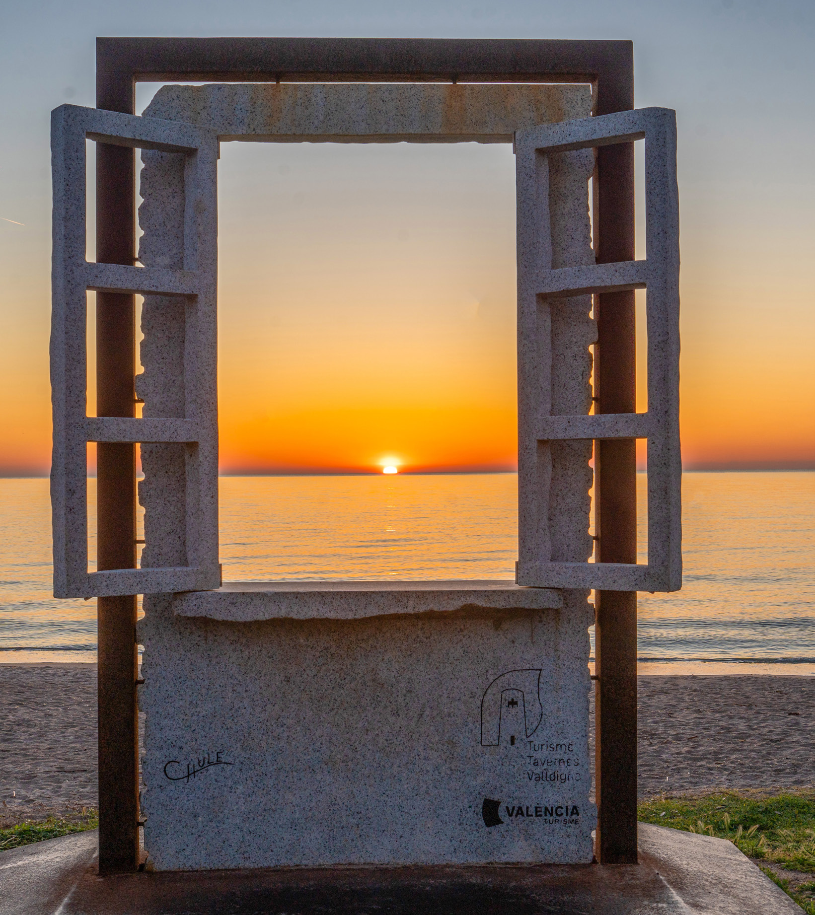
Travel planner
A practical tool for combining nature, beach, heritage, gastronomy and other plans.
Plan your visit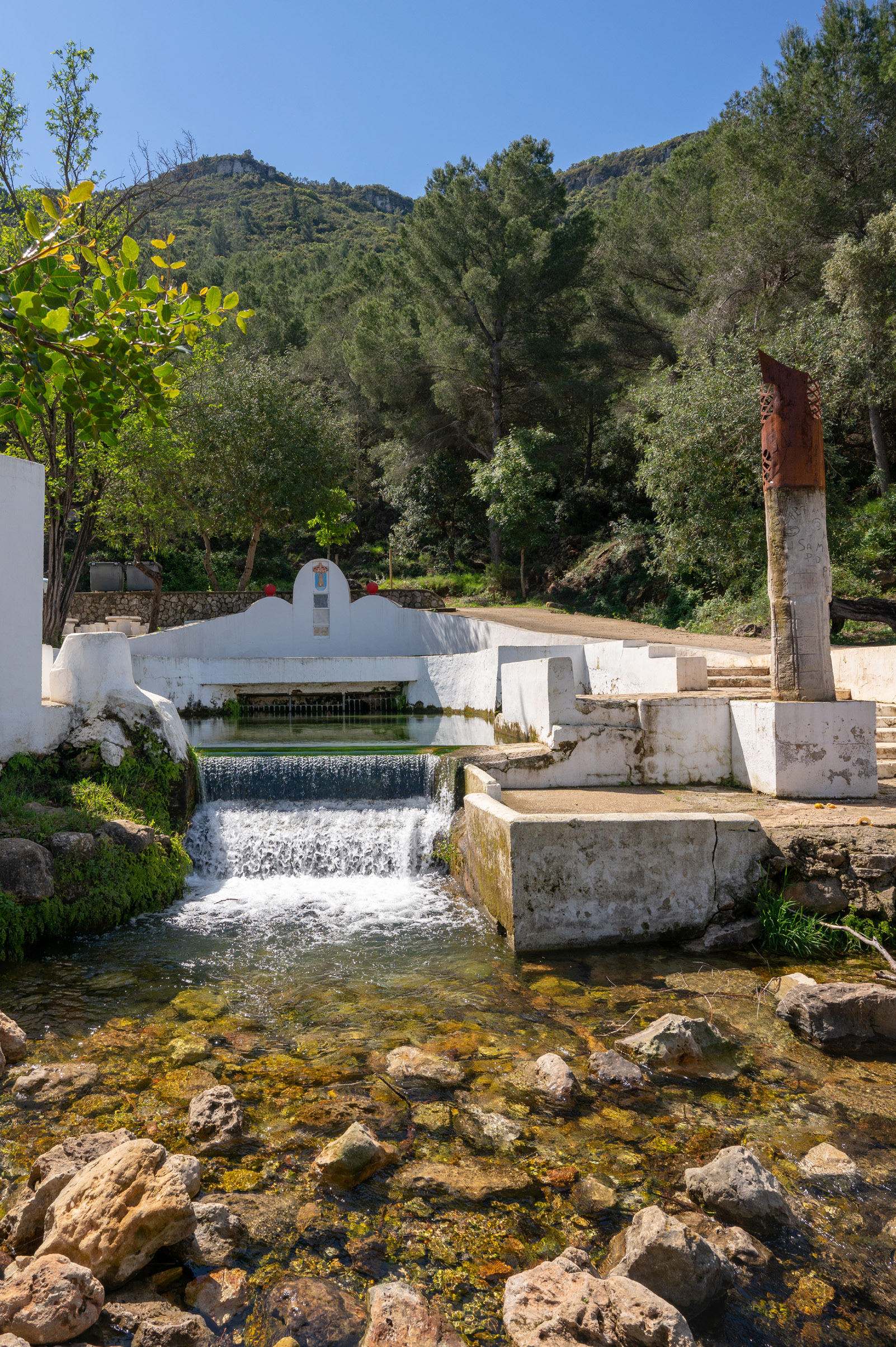
A beach day
An idea for combining the sea, a walk, terraces and Mediterranean atmosphere during your visit.
See beach planSignage and partner organisations