

Racó de Joana and Ullals Route
The Racó de Joana and Ullals Route combines mountain trails, agricultural landscape, viewpoints and wetlands around Tavernes de la Valldigna.
It is a route with changing scenery: it leaves the urban area, crosses orange groves, climbs towards Sant Llorenç and the Mediterranean Viewpoint, and descends towards Ullal Gran i de les Penyetes.
Practical route information
In just a few kilometres, the route helps you understand the transition between agricultural landscape, forest slopes, sea views and the wetland ecosystem.
Approx. 8.99 km between Racó de Joana, Sant Llorenç, the Mediterranean Viewpoint and Ullal Gran.
Around 3 h 15 min, depending on pace, stops, heat and trail conditions.
Sant Llorenç, the Mediterranean Viewpoint, Ullal Gran i de les Penyetes and the agricultural surroundings.
Two expandable alternatives are included: a short circular route and a longer route through Massalari.
Interactive map of Racó de Joana and Ullals
Racó de Joana · Sant Llorenç · Viewpoint · Ullal Gran
Main route with an ascent towards the forest area and a descent to the wetland of Ullal Gran i de les Penyetes.
Visible points: Sant Llorenç, the Mediterranean Viewpoint, Ullal Gran i de les Penyetes, start and finish of the route.
A route between agriculture, mountains, sea and wetlands
The strength of this route lies in the variety of its landscape: within the same itinerary, orange groves, forest slopes, open Mediterranean views and a natural spring are connected.
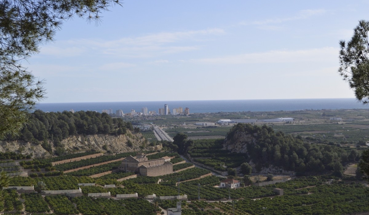
Terraces and orange groves on the way to Racó de Joana.
Trail and slope with Mediterranean vegetation up to Sant Llorenç and the viewpoint.
Views towards the coast, Cullera and the shoreline from the Mediterranean Viewpoint.
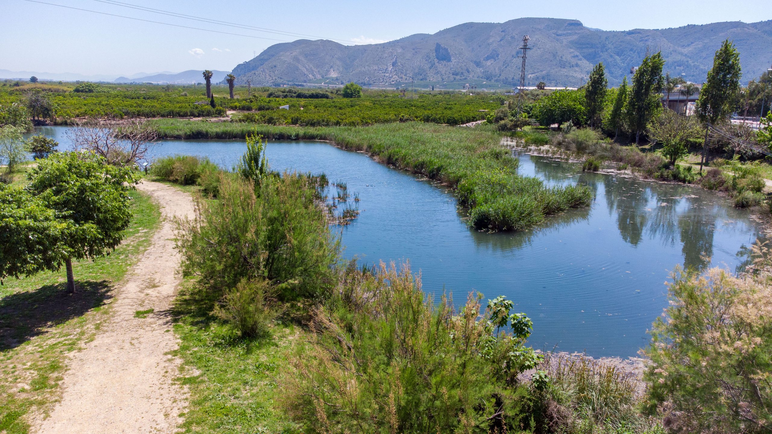
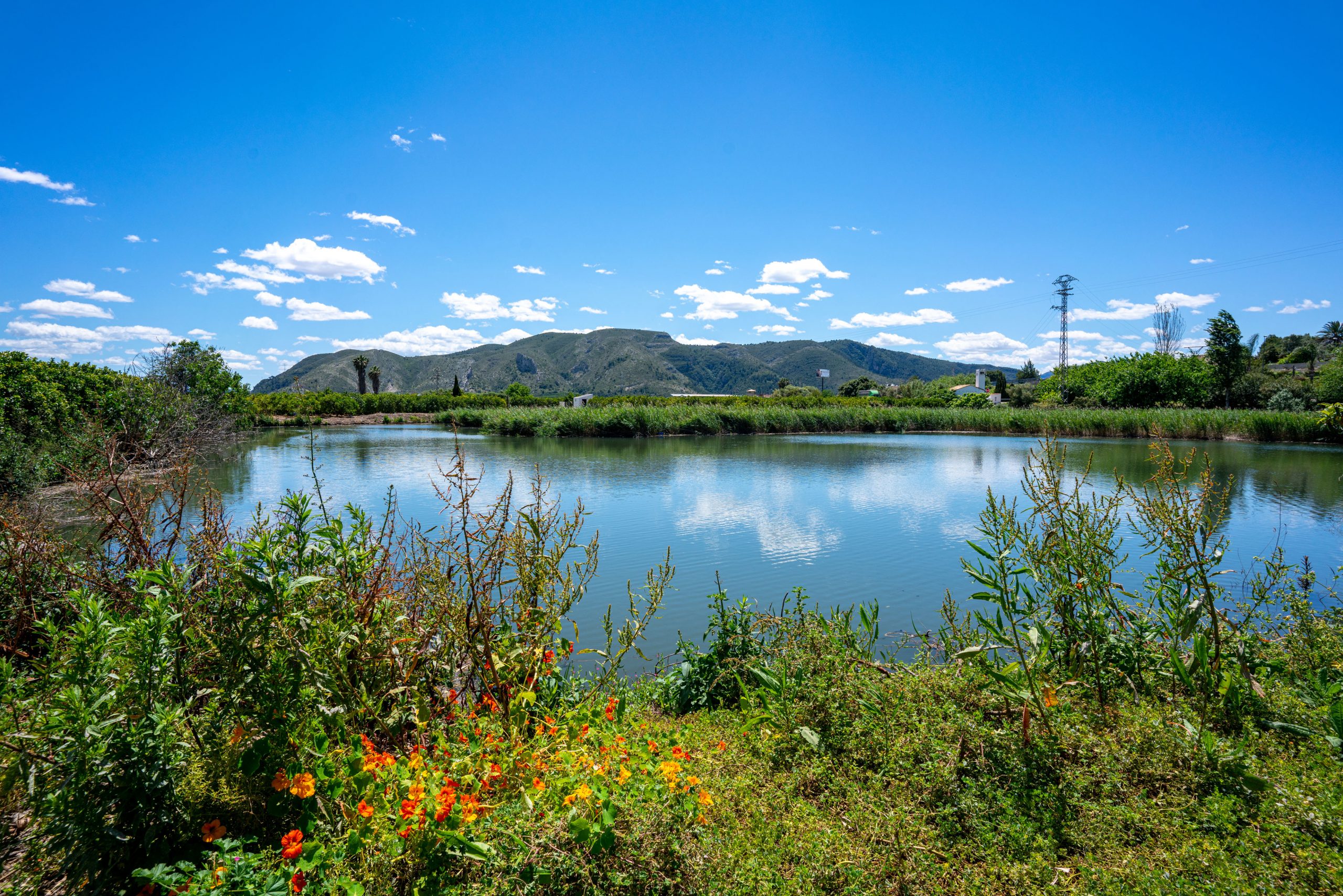
Ullal Gran i de les Penyetes, with aquatic vegetation and birdlife.
Reading the route by sections
The route is best understood as a sequence of landscapes: first the departure and agricultural surroundings, then the climb towards Sant Llorenç and the viewpoint, and finally the descent towards the wetland.
From the urban area to Racó de Joana
The route leaves the city behind and moves through the agricultural landscape. The orange terraces show how land has gradually been gained from the mountain in this part of Tavernes.
This first section introduces Racó de Joana, where the agricultural landscape blends with the first areas of forest vegetation.
Sant Llorenç and the Mediterranean Viewpoint
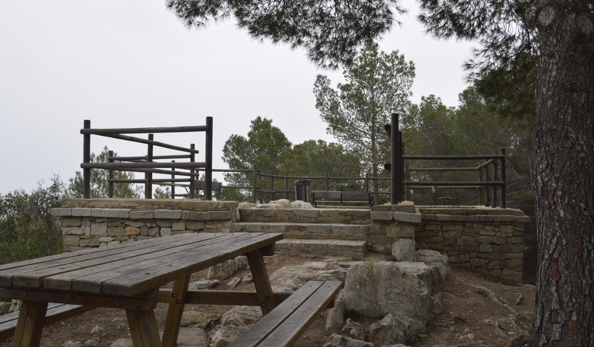
The climb leads towards the surroundings of the Sant Llorenç hermitage and its recreational area. From there, you can continue towards the Mediterranean Viewpoint.
The viewpoint offers a broad reading of the landscape: the coast, the fields and the relationship between the mountains of Tavernes and the sea.
Ullal Gran i de les Penyetes
The descent leads to Ullal Gran i de les Penyetes, a natural groundwater spring with an atmosphere very different from the agricultural and forest areas.
This is a particularly sensitive spot: use the designated paths, avoid disturbing wildlife and do not leave any waste.
Before starting the route
Check the map before setting off and decide whether you will follow the main route or one of the variants. The long route requires more time and preparation.
In the Ullal Gran i de les Penyetes area, avoid leaving the path, do not feed wildlife and keep quiet if there are birds nearby.
There are uphill and downhill trail sections. On hot days, set off early and avoid the middle hours of the day.
Racó de Joana variants
Sant Llorenç · Racó de Joana · Ullals
Circular option through Sant Llorenç, Racó de Joana, the Mediterranean Viewpoint and Ullal Gran i de les Penyetes.
Racó de Joana · Mirador · Massalari · Portitxol
Longer circular itinerary that extends the route towards Racó Redó, Massalari, La Granata and Portitxol. Suitable only if you are looking for a more complete hiking day.
Complete your visit to Tavernes
Connect this route with other nature, hiking and trip-planning pages.
Ruta dels Sentits
A sensory itinerary connected with water, landscape and the natural spaces of Tavernes.
View route
Hiking in Tavernes
Explore other routes and mountain proposals in Tavernes de la Valldigna.
See hiking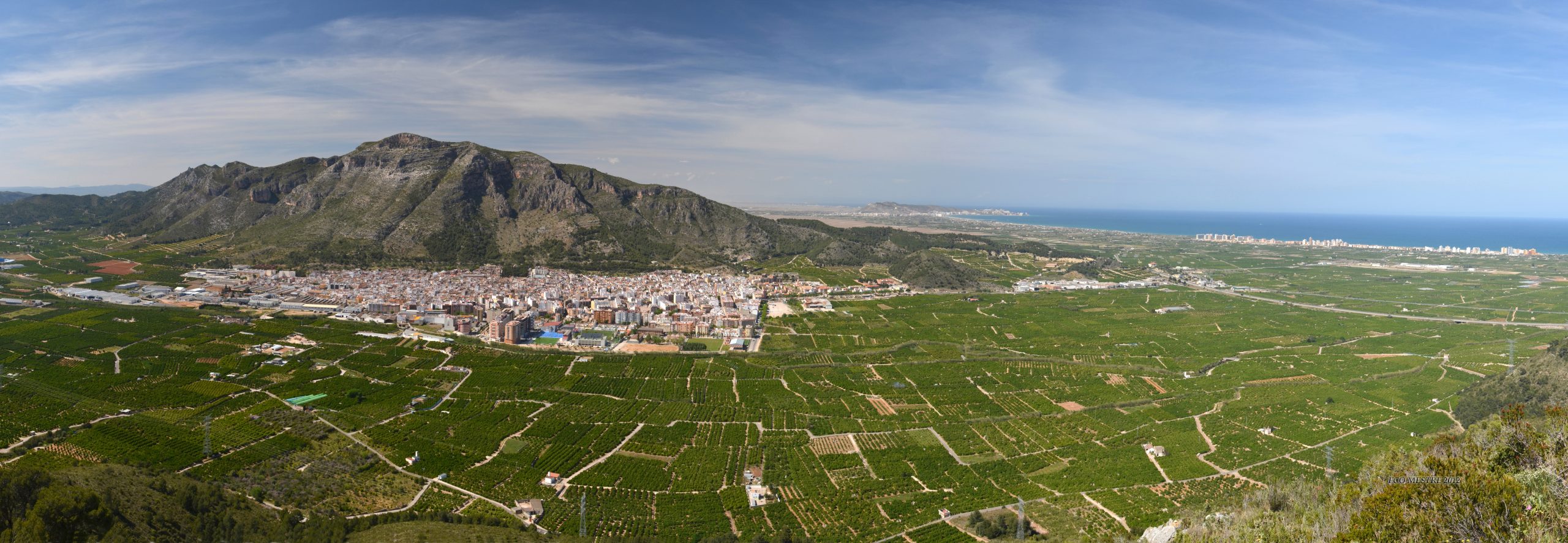
Nature and routes
The gateway to the landscapes, mountains, natural sites and nature itineraries of Tavernes.
See nature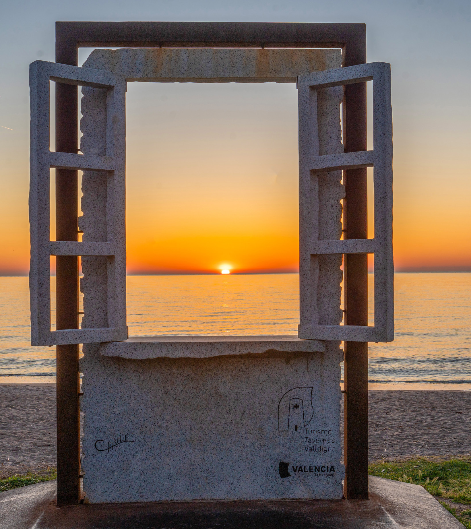
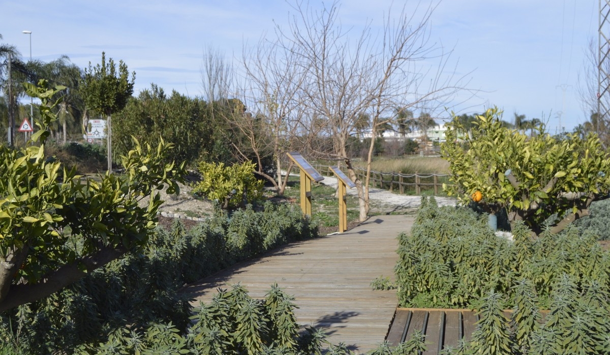
Images of Racó de Joana and the Ullals
An updated visual selection of Ullal Gran i de les Penyetes, interpretive signage, Pla de l’Ermita and the viewpoint rest area.