

Bolomor Cave Route
The Bolomor Cave Route combines hiking, landscape and prehistoric heritage in Tavernes de la Valldigna. The route enters the l’Ombria area and reaches the Bolomor ravine, leading to the surroundings of one of the most important archaeological sites in the western Mediterranean. To learn about the interior, the calendar and access conditions, check the Bolomor Cave visit.
As the official tourism website, this guide explains the access step by step: municipal sports centre, Vaca river, Badell, Camí de l’Ombria, the signposted turn-off towards the cave, Bolomor ravine and the final path to the site.
Practical information for the Bolomor Cave Route
The route combines an urban section, agricultural tracks, dirt track and uphill path to Bolomor Cave. It is advisable to prepare the route in advance and check the visiting conditions of the site before going.
Municipal sports centre / Carlos Pellicer indoor pavilion and access towards the Vaca river.
Easy on the short official route; moderate if linked with Casa de l’Ombria or Pla de les Foietes.
About 6.7 km on the short circular Bolomor route.
About +270 m, with access through l’Ombria and an ascent to the cave surroundings.
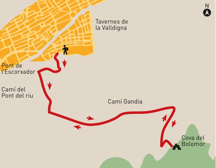
Map of the Bolomor Cave Route
Check the extended track through Bolomor, Casa de l’Ombria and Pla de les Foietes. For the short official route, use the 6.7 km data and the signposted access to Bolomor Cave as your reference.
Bolomor, Casa de l’Ombria y Pla de les Foietes
Custom map generated from the available extended GPX. It is a longer option than the short official Bolomor route.
Routes passing through the Bolomor area
There is not just one option. The short official route reaches the Bolomor Cave area, but there are also longer variants linking with l’Ombria, Casa de l’Ombria, Pla de les Foietes or Senda de la Cadira.
Easy circular option, about 6.7 km and +270 m, designed to reach the surroundings of the site and return without extending the day.
Extended variant continuing towards Casa de l’Ombria and Pla de les Foietes. This is the option shown on the GPX map on this page.
Circular mountain option for those who want to add landscape, viewpoints and a more hiking-focused section after passing through Bolomor.
A more mountainous alternative linking the Bolomor area with the l’Ombria path and the upper tracks of PR-CV 51.
A more demanding option connecting with Camí de la Cadira, Barranc de Cremades and Pla de les Foies.
The L’Ombria route is not the short Bolomor trail, but it shares the same surroundings and offers a better understanding of the paths on this side of Tavernes.
From the sports centre to the Vaca river and Badell
The route starts at the municipal sports centre and follows D. Juan de Austria street, República de Malta square and Corts Valencianes until the bridge crossing the Vaca river.
After crossing the bridge, you reach a three-way junction. Continue along the central path, Camí del Pont del Riu. After about 200 metres, cross the Badell over another bridge and continue to the junction with Camí de l’Ombria.
Camí de l’Ombria and Bolomor ravine
At the junction with Camí de l’Ombria, continue left, heading east, until you find a signposted track on the right indicating Bolomor Cave.
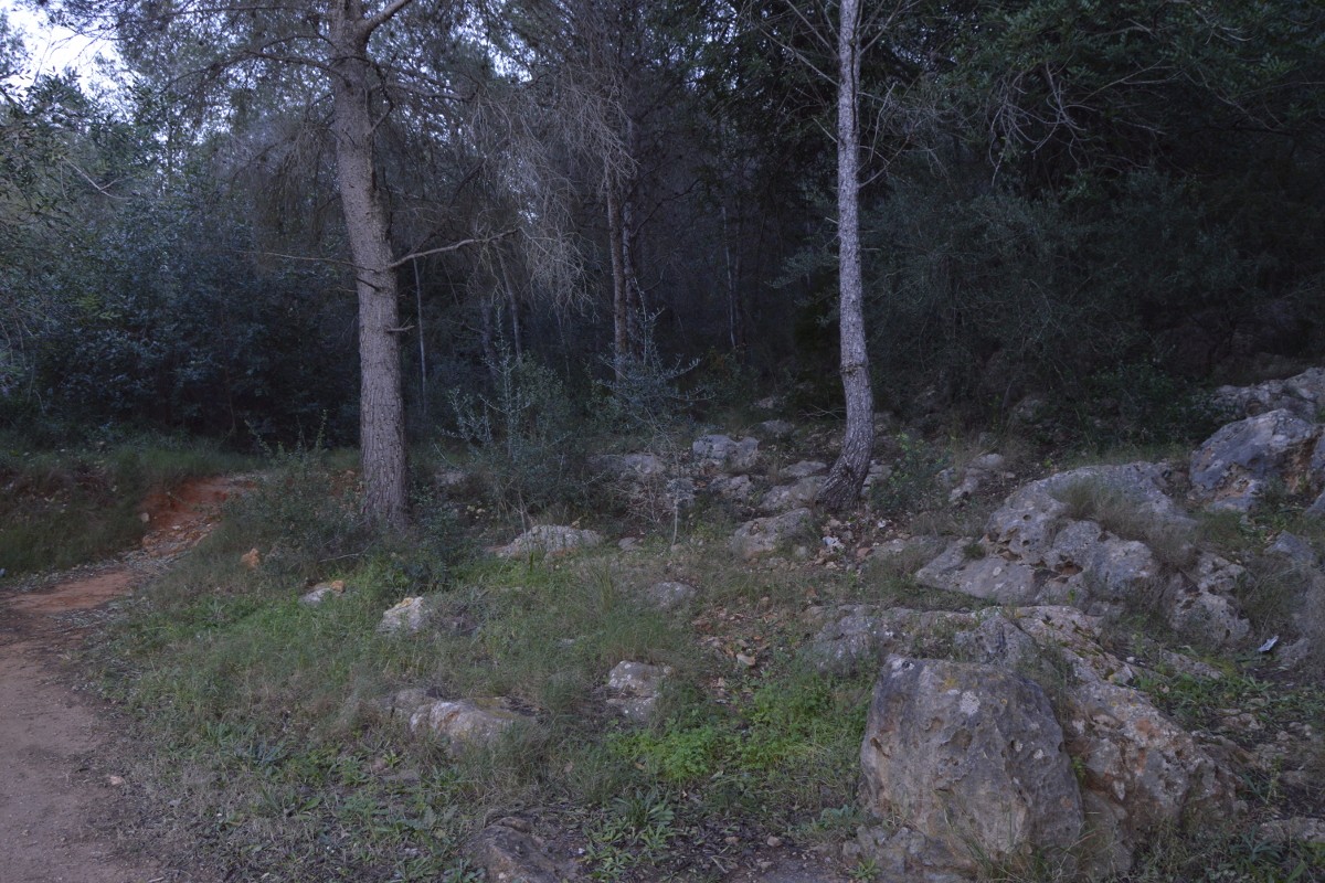
This dirt track leads to the foot of Bolomor ravine, passing a small hut on the right. From this point, continue along a path that climbs up to the site.
A key site in the western Mediterranean
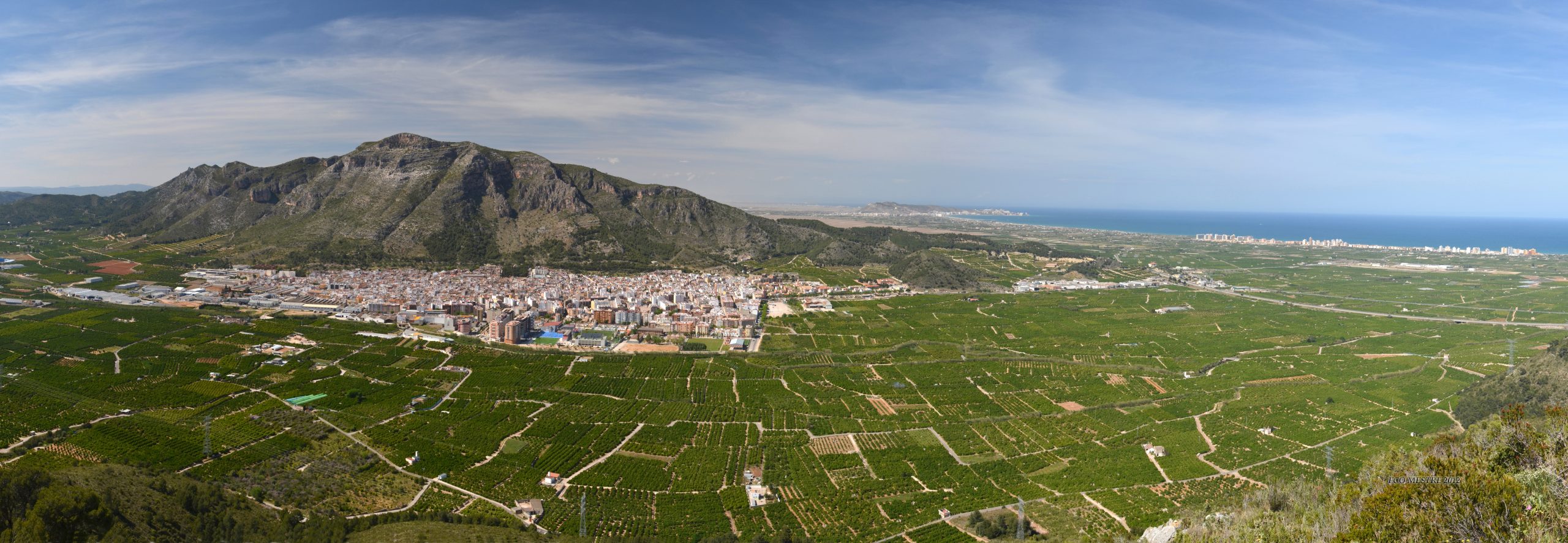
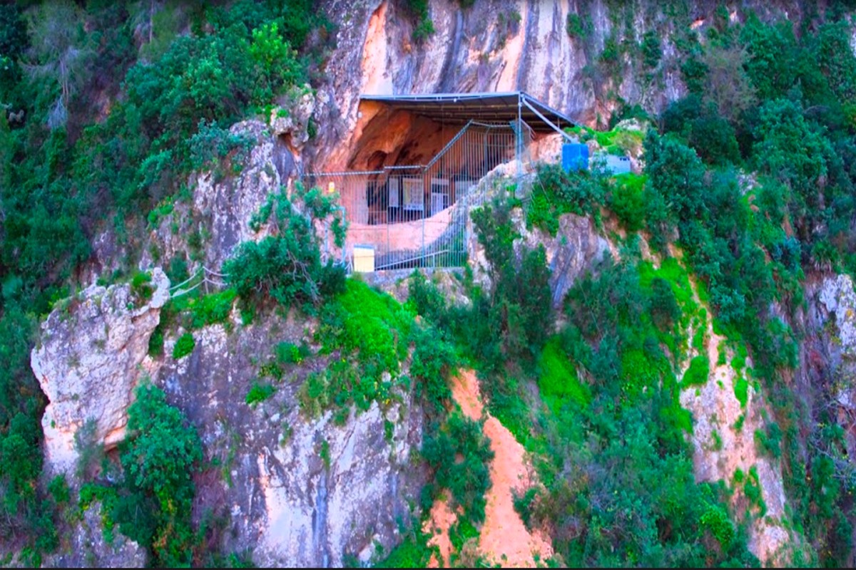
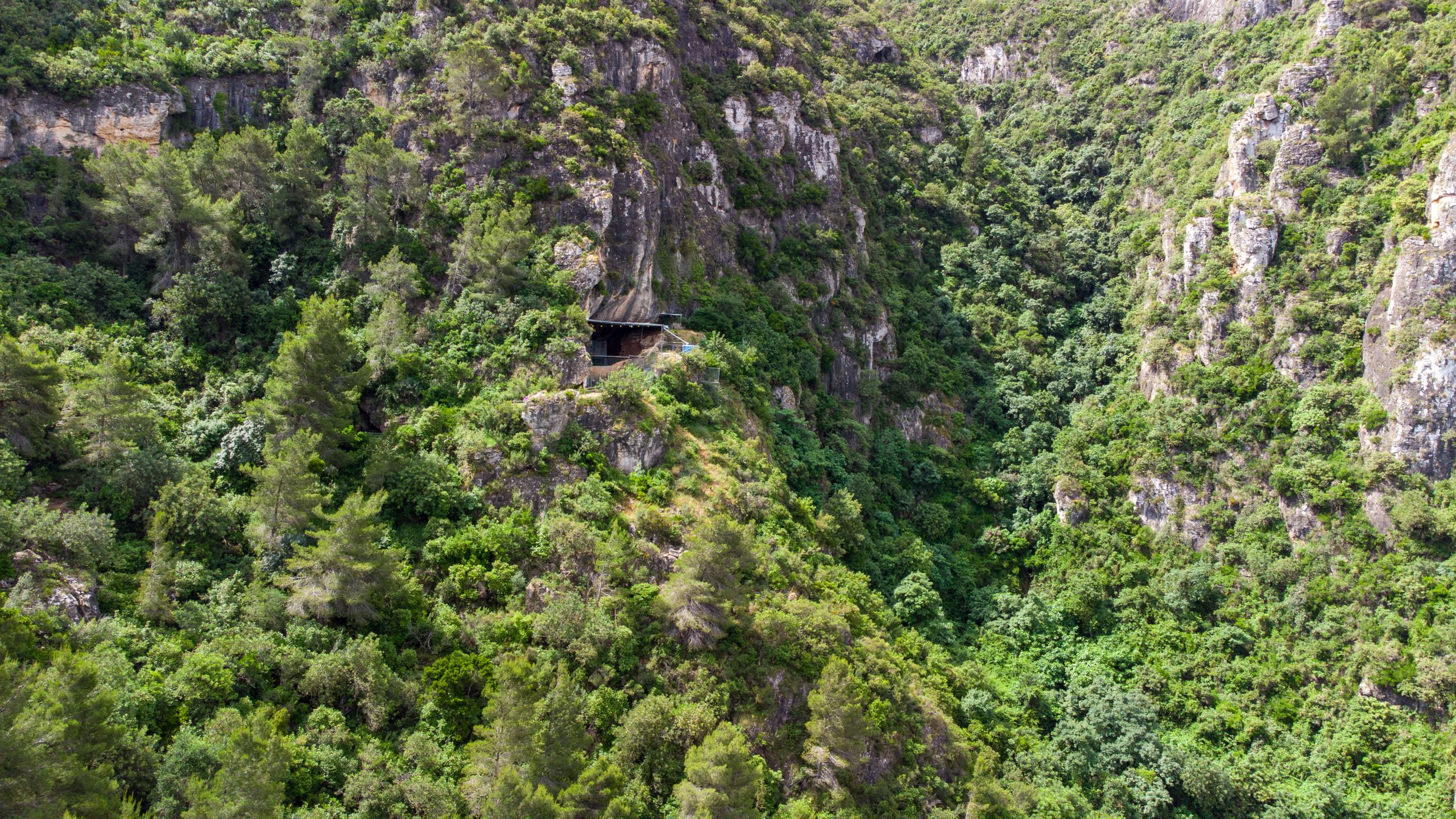
Bolomor Cave is an archaeological site located about 2 km southeast of Tavernes de la Valldigna. Systematic excavations began in 1989 and have documented a long archaeological sequence with stone tools, bone remains, combustion structures and human fossils. You can learn more on the history of Bolomor Cave page.
One of its most important values is the evidence of controlled fire use in very ancient periods. This is why the route is not just a mountain walk: it is a way to approach the landscape where an essential part of Valencian prehistory is preserved.
Return the same way or link with l’Ombria
The easiest option for returning to the sports centre is to go back along the same path used to reach Bolomor Cave. This makes orientation easier and avoids extending the activity if the main goal is to visit the site.
The area also allows links with longer routes through l’Ombria, Casa de l’Ombria or Pla de les Foietes. If you choose a longer variant, check the track, total duration and elevation gain carefully before setting off.
Clear summary of the Bolomor Cave Route
Follow this order to understand the main junctions before starting the route.
Start from the sports area and follow D. Juan de Austria, República de Malta and Corts Valencianes.
Cross the bridge over the Vaca river and continue along the central Pont del Riu path.
Pass the Badell and continue to the junction with Camí de l’Ombria.
Turn left and head east until you find the signposted turn-off towards Bolomor.
Dirt path to the foot of the ravine, with a small hut as a reference along the route.
Uphill path to Bolomor Cave and recommended return along the same itinerary.
Before doing the Bolomor Cave Route
Bring water, mountain footwear, sun protection and a charged phone. The route combines asphalt, agricultural track, dirt track and uphill path, so it is advisable to check the route and avoid the hottest hours of the day in summer.
If you decide to extend the route towards Casa de l’Ombria, Pla de les Foietes or other PR-CV 51 variants, check the full distance, elevation gain and available time.
Check AEMETComplete your visit to Tavernes
Combine the Bolomor Cave Route with the history, guided visit, hiking and travel planning pages.
Visit Bolomor Cave
Practical information for discovering the site through guided visits and activities.
See visitHistory and archaeology
Discover the scientific importance of Bolomor Cave and its long prehistoric sequence.
See history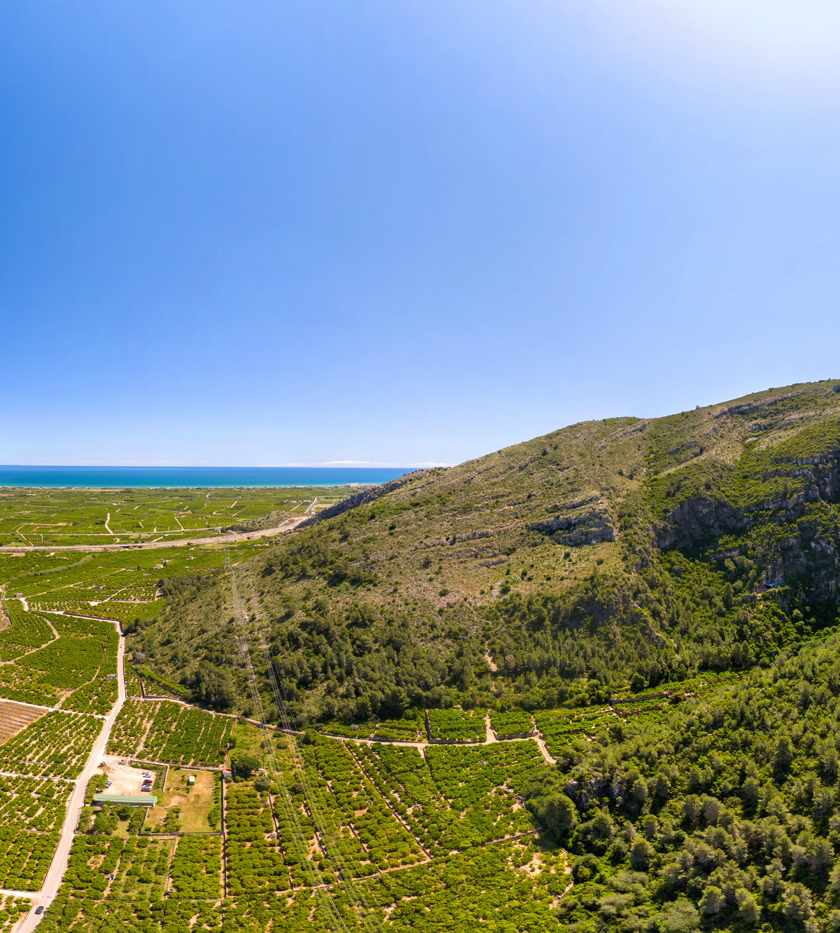
The Ombría trek
Extend the day through l’Ombria with a mountain route among ravines, tracks and viewpoints.
See The Ombria Trek
Travel planner for Tavernes
Organise hiking, heritage, beach, nature and gastronomy in Tavernes.
Plan your visit