


Massalari Peak
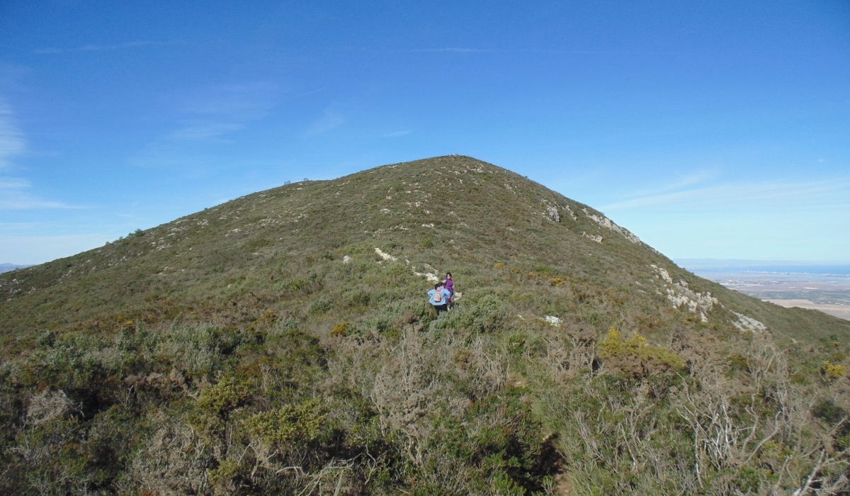
Massalari Peak, also known locally as Puntal del Massalari, is one of the most representative summits in the mountain landscape of Tavernes de La Valldigna.
Its surroundings combine mountain trails, pine woods, ridges, views towards the Serra de les Agulles and open panoramas over the Mediterranean, La Valldigna, Cullera and the coast.
 Massalari Peak
What Massalari Peak is and why visit it
Massalari lies in the Corbera mountain range and reaches approximately 602 metres above sea level. It is a true mountain summit, offering a complete reading of the contrast between the mountains, La Valldigna and the Mediterranean.
Mountain summit, natural area and panoramic viewpoint linked to hiking routes.
Around 602 metres, according to hiking references and the tourist information for the area.
Corbera mountain range, Sangonera Spring, Les Creus Summit, La Ratlla Peak and Mediterranean landscape.
Recommended on foot. This is not an urban walk and the summit cannot be visited by car.
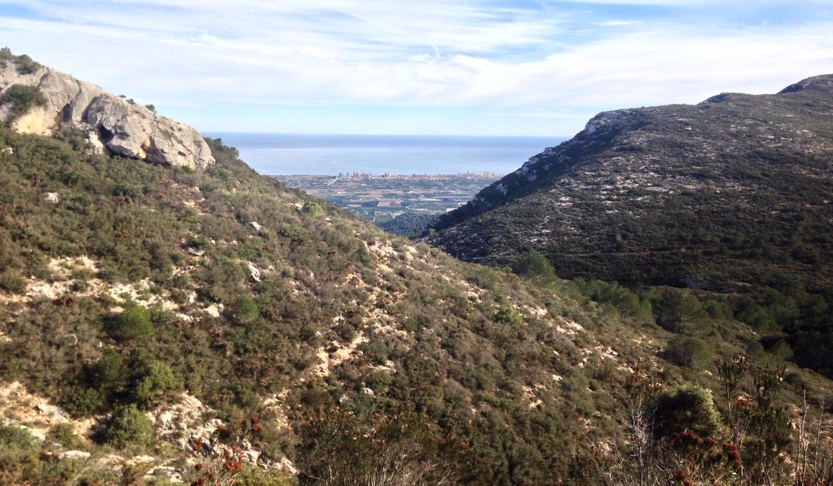
Tavernes de La Valldigna · Massalari · La Ratlla Peak
Circular mountain route that climbs through the Massalari area and completes the day towards La Ratlla Peak. It is the main option on this page and is intended for hikers with experience in mid-mountain terrain.
The mountains, La Valldigna and the Mediterranean from Massalari
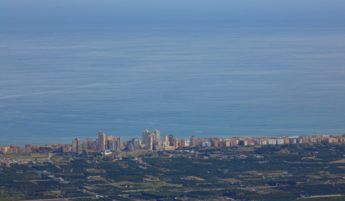
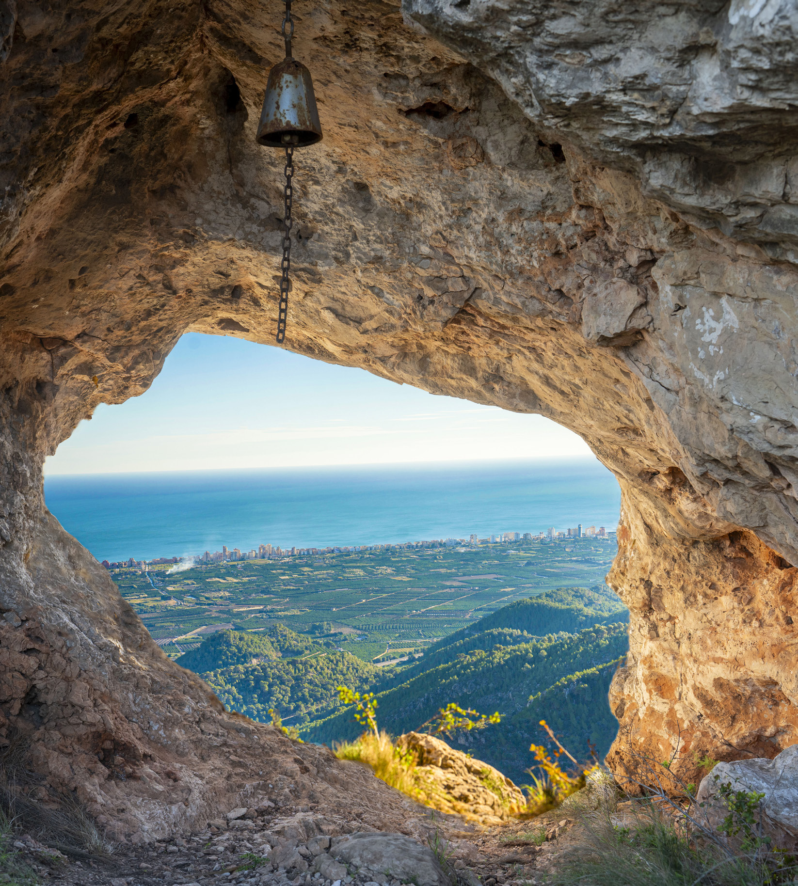
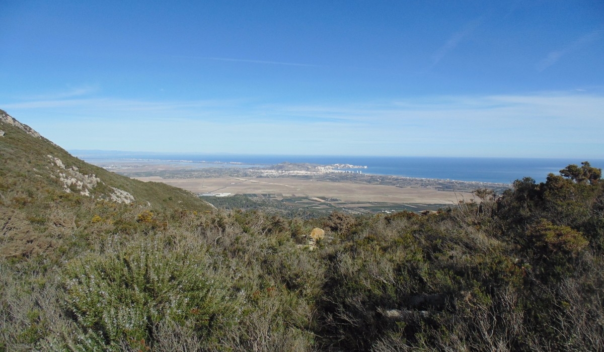
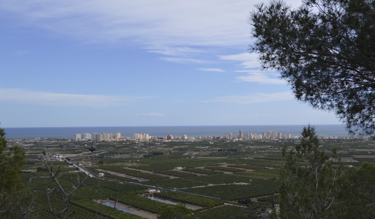
The climb to Massalari opens up one of the widest landscapes in Tavernes: on one side, the Serra de les Agulles and the relief of the Corbera mountain range; on the other, the coastline, the beaches, Cullera and the blue line of the Mediterranean.
A natural balcony between mountain and sea
From the upper area, the contrast between mountain paths, Mediterranean vegetation, La Valldigna and the sea horizon becomes clear. On days with good visibility, the panorama opens across much of the coast.
This visit is intended for people used to walking in the mountains and for those looking for a more demanding experience than an easy-access viewpoint.
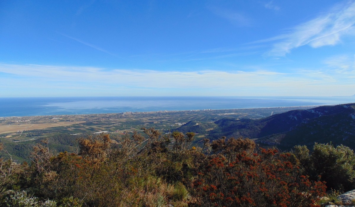
A landscape of ridges and reliefs
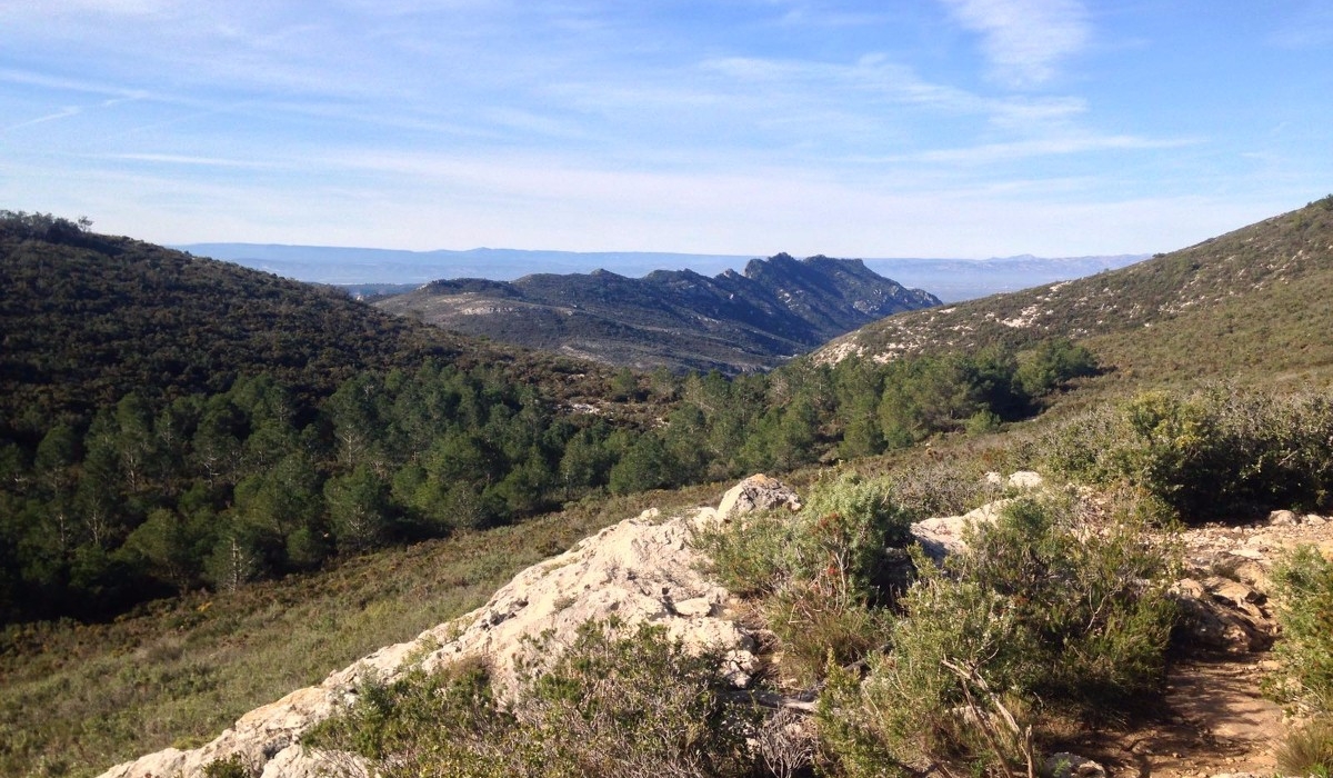
The route shows the transition between inland summits, ravines, pine woods and open rocky areas. The Serra de les Agulles is one of the clearest visual landmarks along the route.
The terrain may include stony sections, slopes and narrow passages, so it is important to walk carefully and always follow the chosen route.
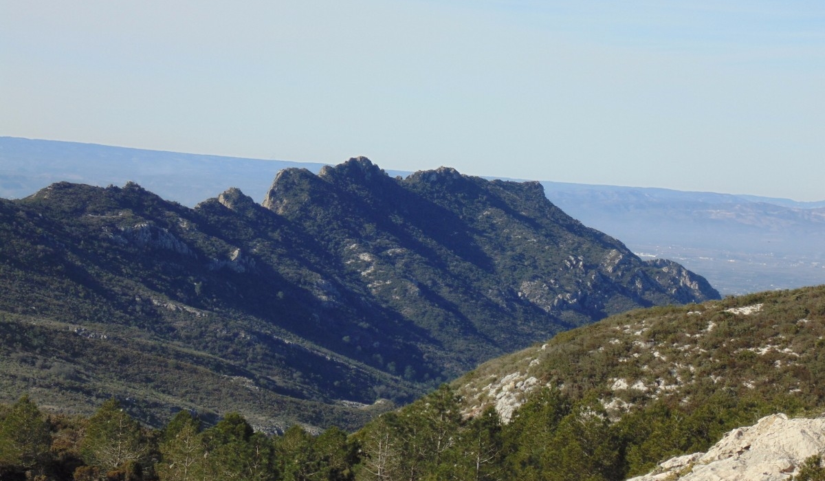
How to visit Massalari Peak
Massalari is a mountain summit. The recommended visit is on foot, following hiking routes from Tavernes and the Sangonera area. It should not be considered an accessible site or a place to reach by car.
Yes. This is the recommended way to reach the summit, with suitable fitness, water and appropriate footwear.
Not recommended for the summit or for ridge sections and narrow trails. Only approach tracks should be considered, and only with experience.
Only as an approach to the urban starting point or permitted areas. The mountain section is completed on foot.
Not accessible: mountain route with elevation gain, stones, trails and uneven terrain.
Other routes to climb Massalari Peak
These two variants connect Massalari with Tavernes de La Valldigna, Sangonera Spring, Les Creus Summit and La Ratlla Peak. The maps are integrated into the page with the full track of each route.
Tavernes · Sangonera Hill · Massalari Peak · Sangonera Spring
A more direct and demanding alternative from Tavernes, passing Sangonera Hill, Massalari Peak, Sangonera Spring, Mina Spring and the Calvari Hermitage.
Les Creus Summit · Massalari Peak · Germanells · La Ratlla Peak
Circular summit route linking several key mountain points: Les Creus Summit, Massalari, Germanells, La Ratlla Peak, the Amoladors Trail and Penya Roja Ravine.
Recommendations for a safe route
The Massalari experience is best enjoyed with simple planning: choose a route suited to your level, start early, check the weather and always respect the natural environment.
Mountain footwear, enough water, sun protection, some food, a charged phone and the downloaded route.
Avoid the hottest hours of the day and days with strong wind. Spring, autumn and clear winter days are more suitable.
Do not leave the trails, leave no waste, do not light fires and respect vegetation, wildlife, springs and rest areas.

Complete your visit to Tavernes
Connect Massalari Peak with the main sections to keep discovering nature, routes and plans in Tavernes de La Valldigna.
Natural landscape
Explore springs, viewpoints, wetlands, mountain areas and other natural spaces in Tavernes.
See natural areas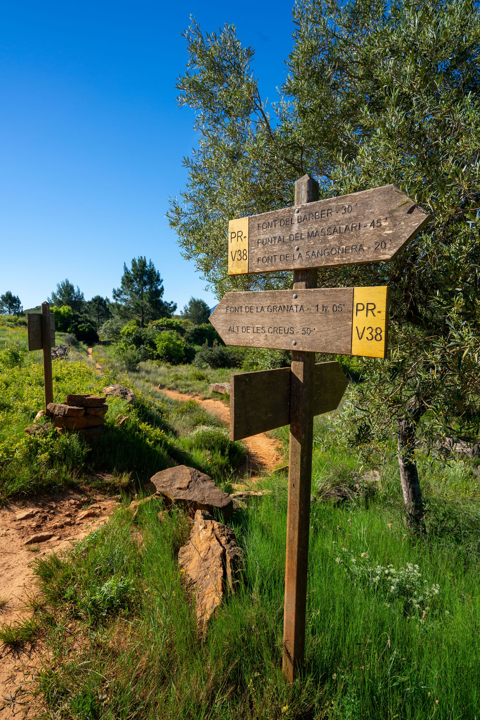
Hiking in Tavernes
Walking routes to discover the mountains, viewpoints and inland landscapes of Tavernes.
See hiking
Things to do in Tavernes
Ideas, experiences and suggestions to organise your visit according to the time available and each person’s pace.
See things to do
Travel planner for Tavernes
A practical tool to combine routes, beach, heritage, nature and other plans during your visit.
Open plannerImages of Massalari Peak
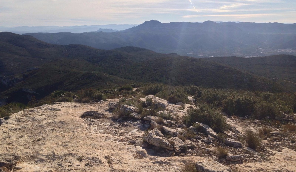
A visual selection of the Massalari area, with views towards the Serra de les Agulles, the coastline, Tavernes, Cullera and the mountain landscape of the Corbera range.