

Route to the Cadira Viewpoint in Tavernes de la Valldigna
The route to the Cadira Viewpoint is one of the best short climbs for discovering the mountain scenery of Tavernes de la Valldigna. The itinerary climbs from the edge of the city towards l’Ombria and reaches a natural balcony with open views over the Mediterranean, the beach, the wetlands and La Valldigna.
This page presents the short route to the viewpoint as the main proposal. At the end, you will find two map alternatives in expandable sections: one via Marinyén Castle and another following PR-CV 51 and the landscapes of l’Ombria.
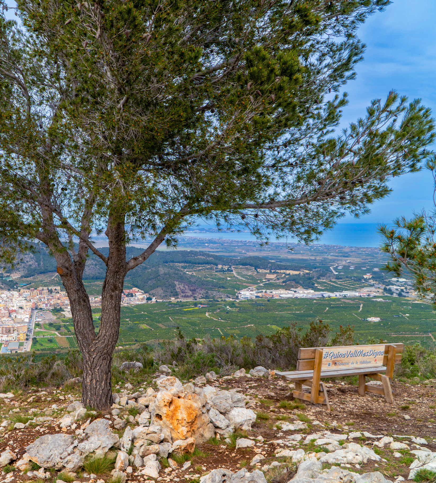 Cadira Viewpoint
Practical information for the short route
The main route is a short and scenic option. Even so, it is a mountain route: take water, wear suitable footwear and avoid the hottest hours on warm days.
Interactive map of the short route to the Cadira Viewpoint
The map shows the clean main route, without external references or source metadata, while keeping the track and useful waypoints for orientation.
Short route to the Cadira Viewpoint
The main and most accessible route from Tavernes to the viewpoint.
From Tavernes towards l’Ombria
The route starts on the edge of Tavernes and heads towards the foot of the mountain. The first section leaves the urban area behind and gradually enters the hillside landscape, with increasingly open views towards the city and the fields of La Valldigna.
It is important to follow the path and the reference points shown on the map. The short route is designed to reach the viewpoint without adding long alternatives or detours into other parts of the mountain range.
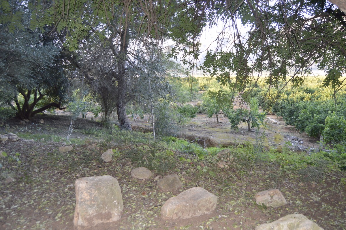 Uphill path
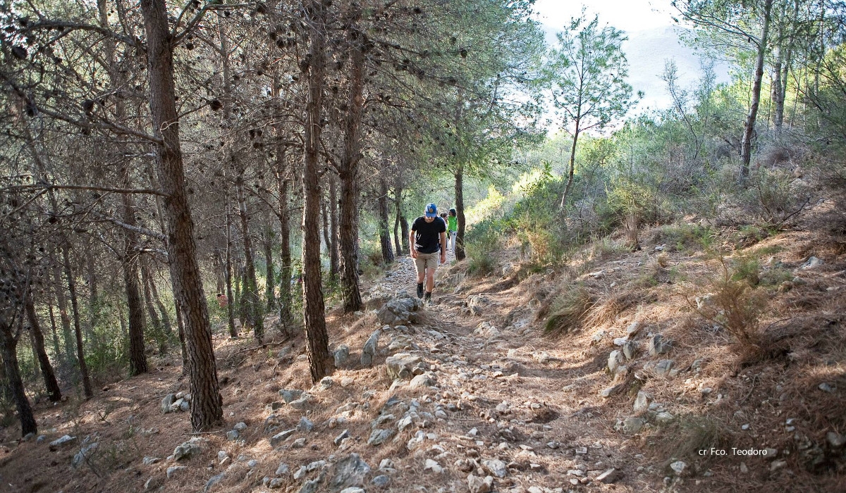 L’Ombria of Tavernes
A short climb with views over La Valldigna
The climb alternates between path sections, Mediterranean vegetation and clearings where the final panoramic view can already be glimpsed. La Cadira works as a natural viewpoint towards both the coastline and the inland valley of La Valldigna.
On clear days, you can make out Tavernes Beach, the wetland strip, the Mediterranean, the city and the mountains that frame the valley.
The Cadira Viewpoint
The viewpoint is the highlight of the route. It is the perfect place to pause, take in the landscape and understand the relationship between Tavernes, the sea, the farmland, the mountains and the traditional paths.
The return follows the circular track of the main route. To extend the walk, use the alternatives shown below and keep the map open.
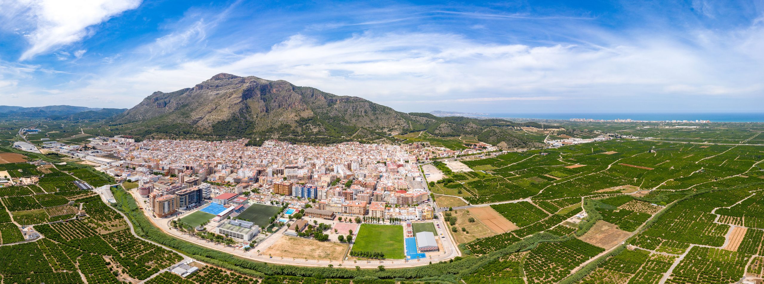 Panoramic views
Route to the Cadira Viewpoint step by step
The main route has been organised so visitors can understand the itinerary before setting off.
Start from Tavernes
Start in Tavernes and approach the Camí de la Cadira, at the foot of l’Ombria.
Entering the path
The route enters the Camí de la Cadira and gains height along a mountain path, with reference points marked on the map.
Climbing sections
The itinerary continues through l’Ombria, alternating path, Mediterranean hillside and clearings with views towards La Valldigna.
Cadira Viewpoint
The main panoramic point of the route, with views of Tavernes, the coast, the wetlands and La Valldigna.
Return
Return along the circular track shown on the map, avoiding detours towards longer alternatives unless they have been planned.
Alternatives
Anyone looking for a longer route can check the expandable alternatives before the final cards.
Do not leave the marked paths, respect the vegetation and check the weather forecast before starting the route.
Tips before starting
Take enough water, mountain footwear, sun protection and a phone with battery. In summer, avoid the hottest hours of the day. If you choose a longer alternative, check the map carefully and allow enough time for the return.
Check AEMETOther alternatives for the Cadira route
These alternatives are only loaded when each expandable section is opened, to avoid performance issues on the page.
La Cadira and Marinyén Castle
A more complete route combining the viewpoint with the surroundings of Marinyén Castle.
PR-CV 51 · Pla de les Foies
A more mountainous circular route along the historic path, l’Ombria and the highland areas of the range.
More ideas to complete your visit to Tavernes de la Valldigna
Combine the Cadira route with other nature, hiking, beach and experience plans in Tavernes de la Valldigna.
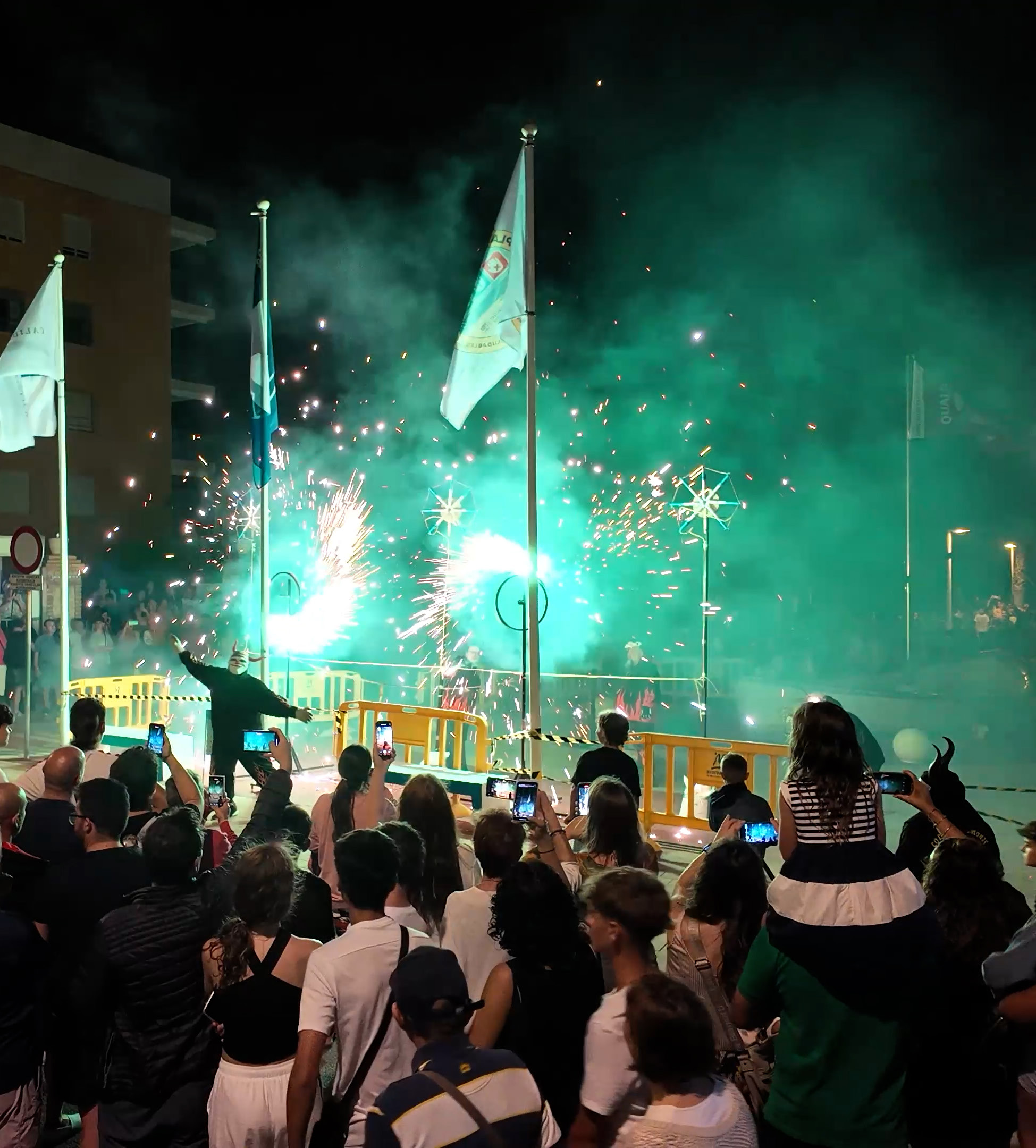
Things to do in Tavernes
The main page for discovering experiences, ideas and different ways to visit the city.
See what to do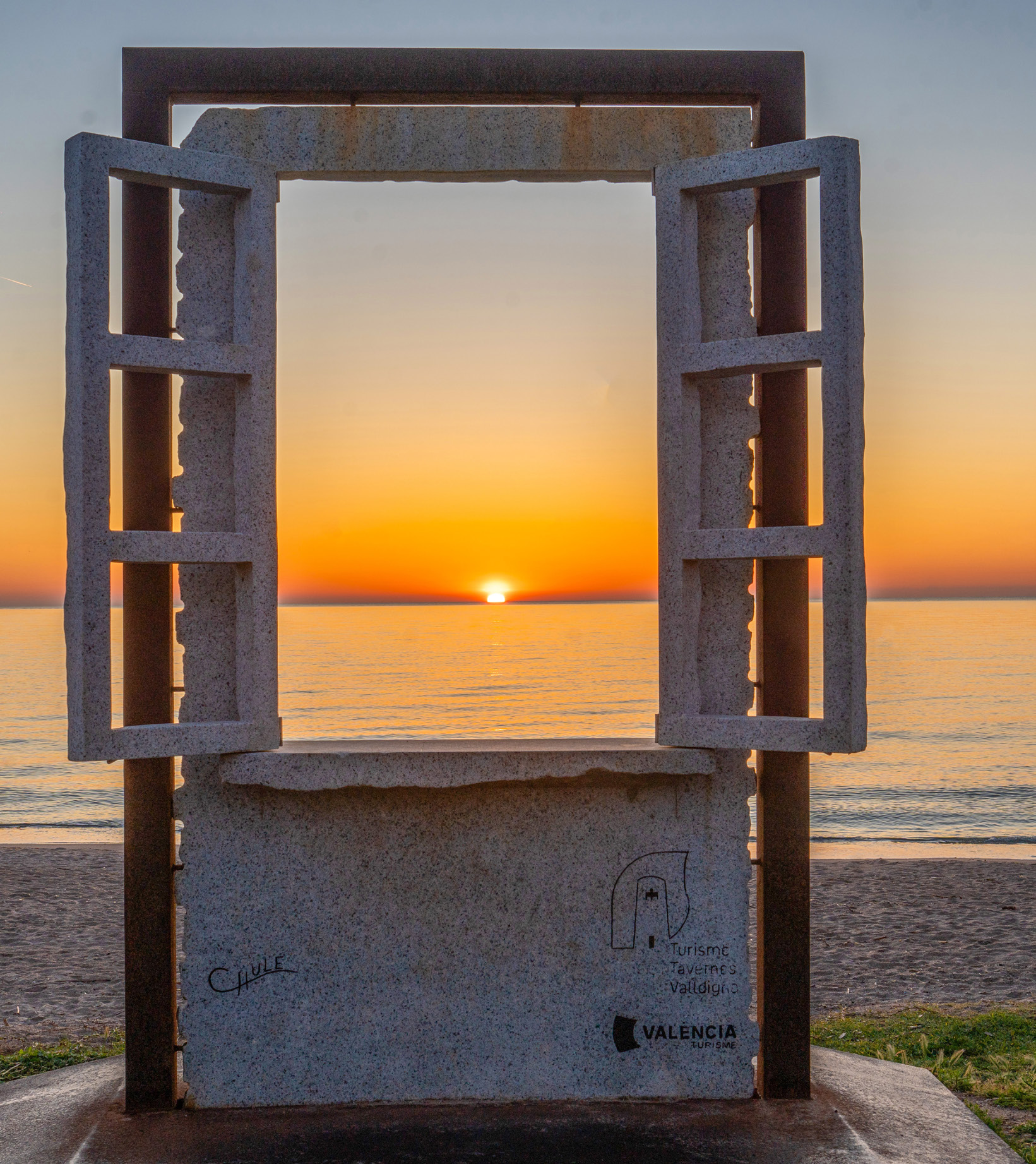
Travel planner for Tavernes
A practical tool for combining nature, beach, heritage, gastronomy and other plans.
Plan your visit
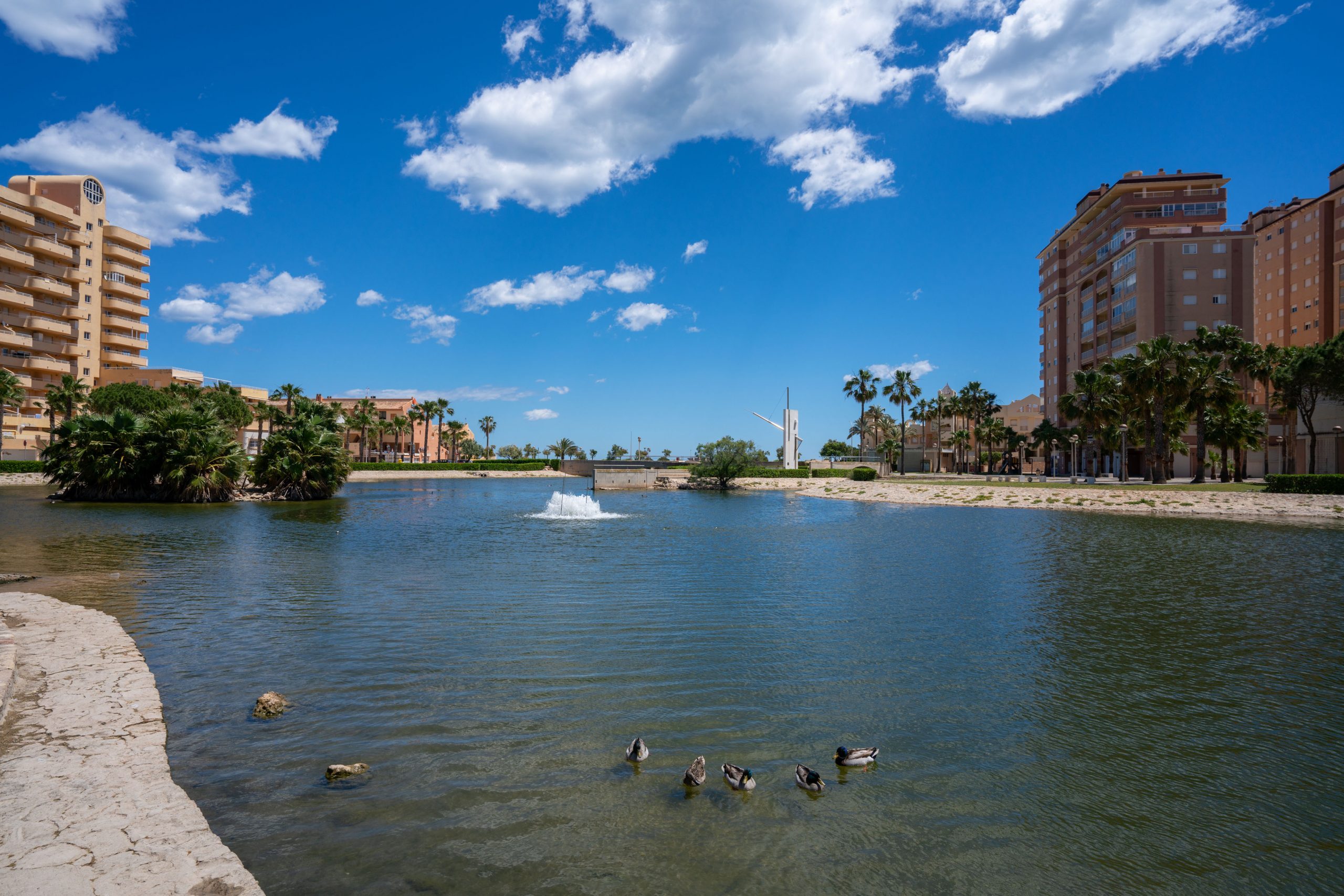
A beach day in Tavernes
An idea for combining the sea, a walk, terraces and Mediterranean atmosphere during your visit.
See beach plan