Natural landscape in Tavernes de la Valldigna
The natural landscape in Tavernes de la Valldigna brings together very diverse places, from springs and wetlands to viewpoints, forest areas and mountain corners.
This section is a simple gateway to the natural sites section, with the main places that help explain the landscape richness of the municipality and its connection with water, mountains, farmland and the Mediterranean coast.
 Natural landscape
Natural landscape in Tavernes de la Valldigna
These are the natural sites that make up the main nature block in Tavernes.
The selection includes springs, wetlands, viewpoints, mountain areas and quiet rest spots that make it easier to organize a visit to the natural landscape in Tavernes de la Valldigna. Together, these places show how water, stone, forest, farmland and sea views define the municipality. They also work very well as a complement to hiking, photography, family walks, environmental interpretation and slow tourism throughout the year.
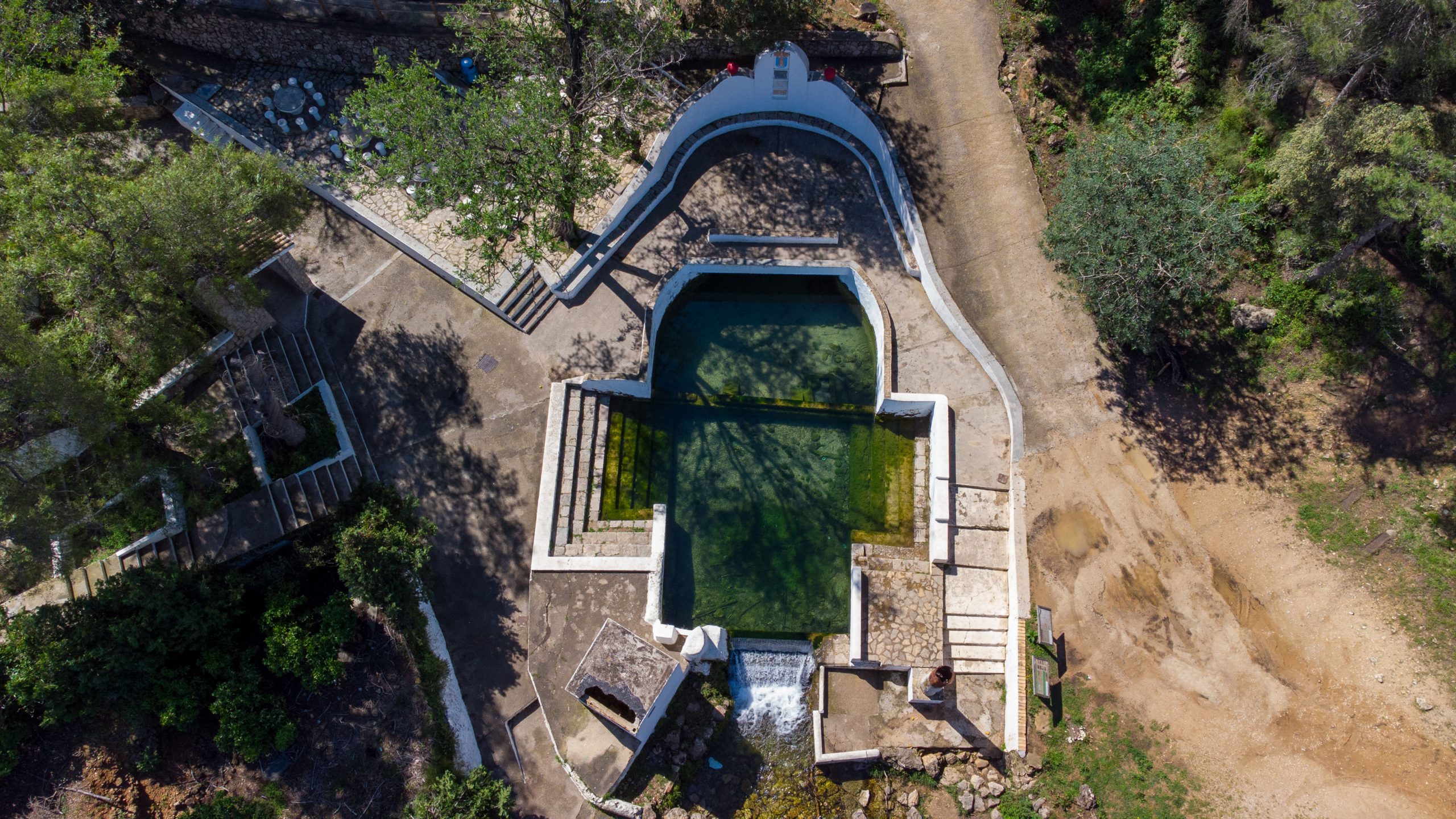
Clot de la Font
A natural spring located on the slopes of the Ombria, with a recreational area and a strong connection with the local landscape. It is one of the most recognizable places for understanding the presence of water in the natural landscape in Tavernes de la Valldigna.
View site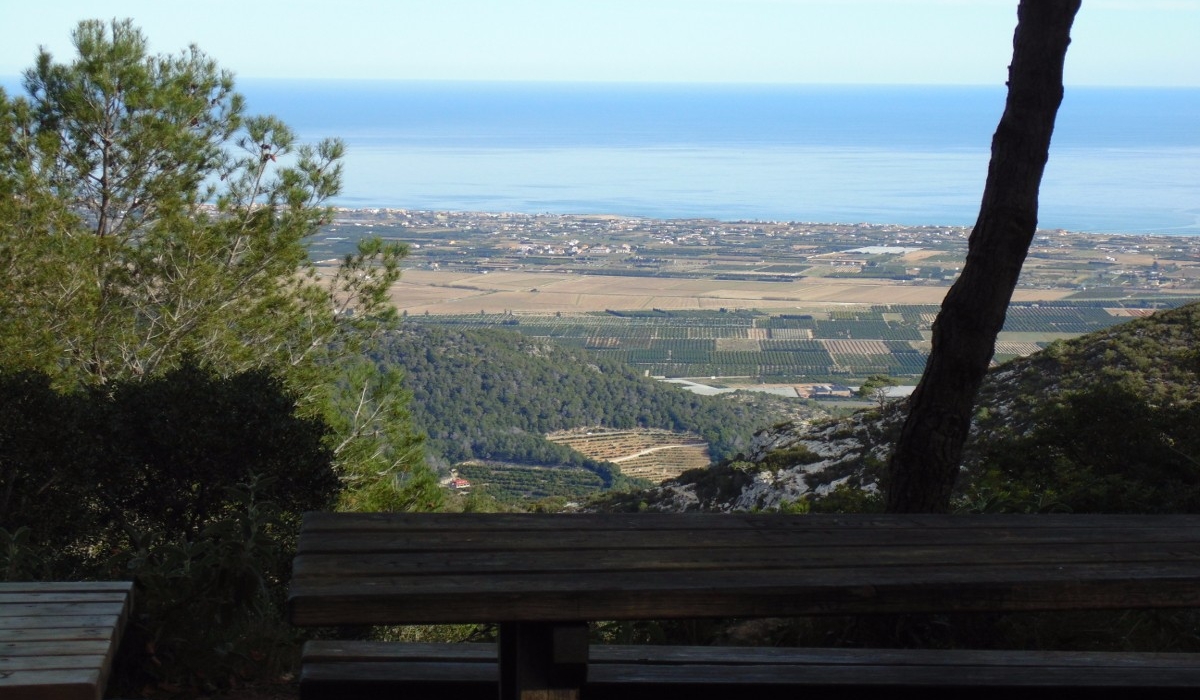
La Sangonera
A stopping place in the surroundings of Les Creus, with mountain scenery and views that open out towards the sea. It is especially useful for reading the transition between the inland range, the valley and the coastline.
View site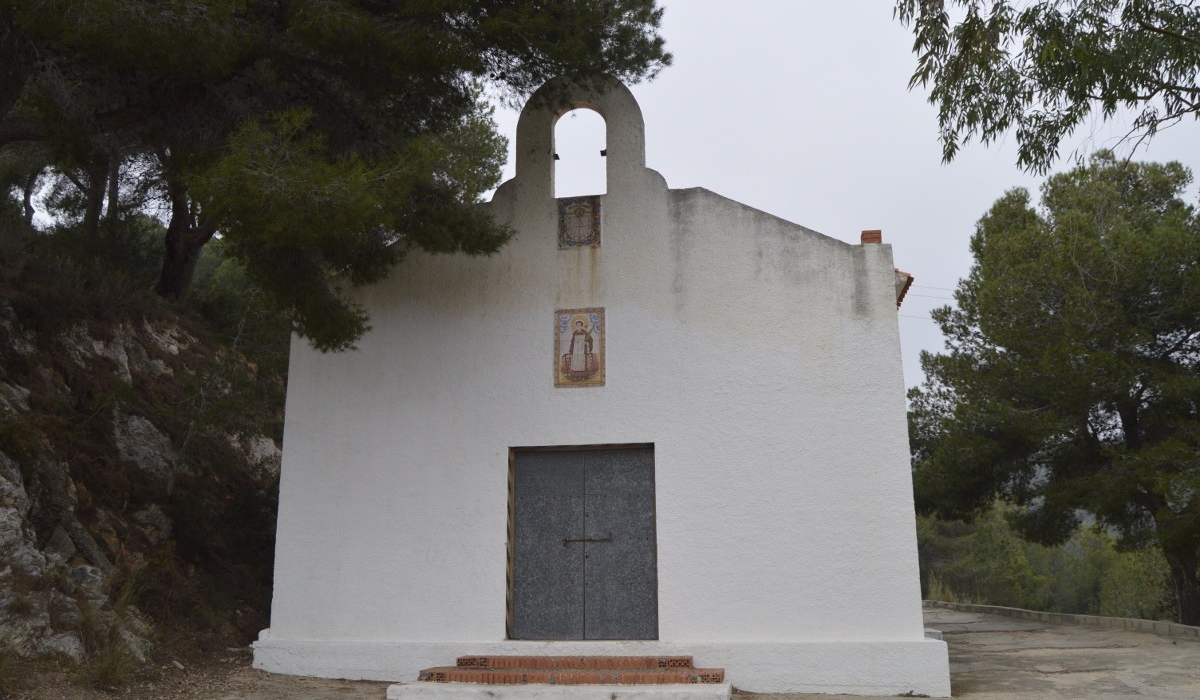
Sant Llorenç
A natural site linked to the mountain, the hermitage and the recreational area, in a setting very close to the town centre. Its location makes it a comfortable place for combining nature, heritage and views in one short visit.
View site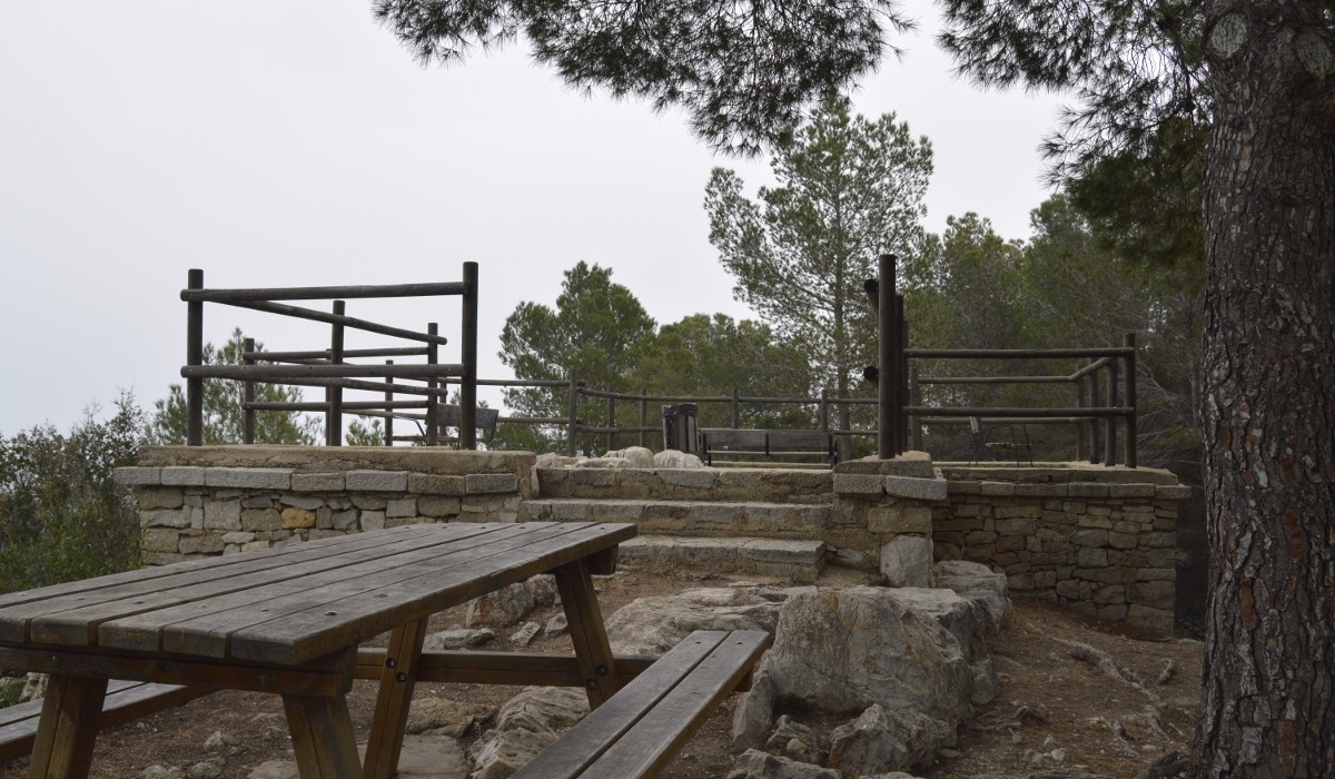
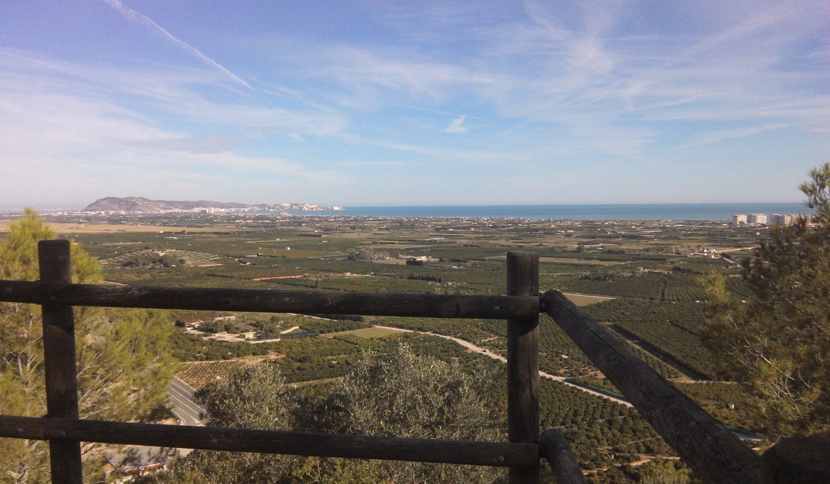
Mediterranean Viewpoint
A panoramic point for contemplating the coast, the sea, the fields and the natural landscape surrounding Tavernes. It is one of the clearest places for seeing how the valley opens towards the Mediterranean.
View site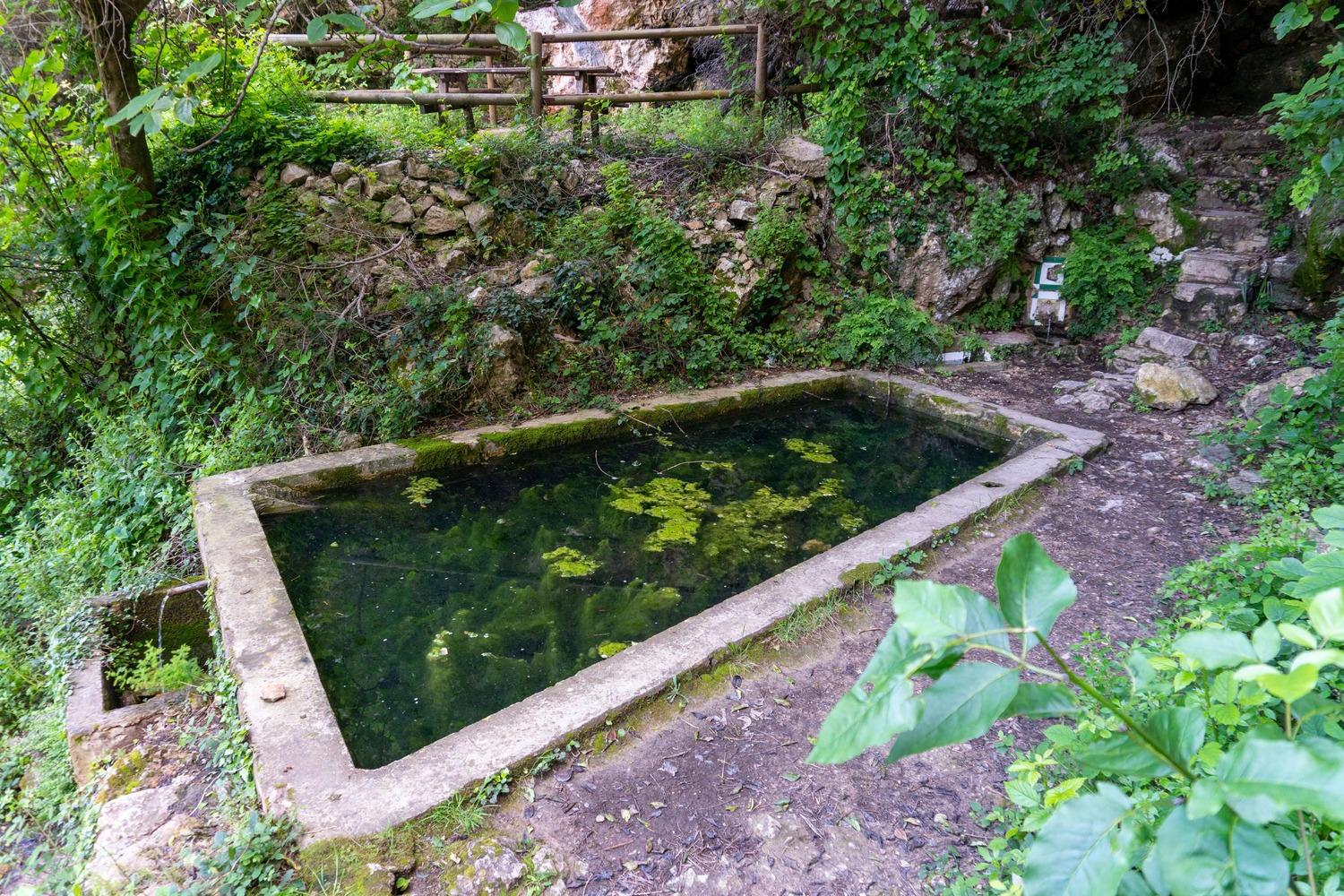
Granata Fountain
A mountain corner associated with the Granata route and the presence of water in the surroundings of the mountain range. It is a good example of how small springs give identity to the paths and shaded areas of Tavernes.
View site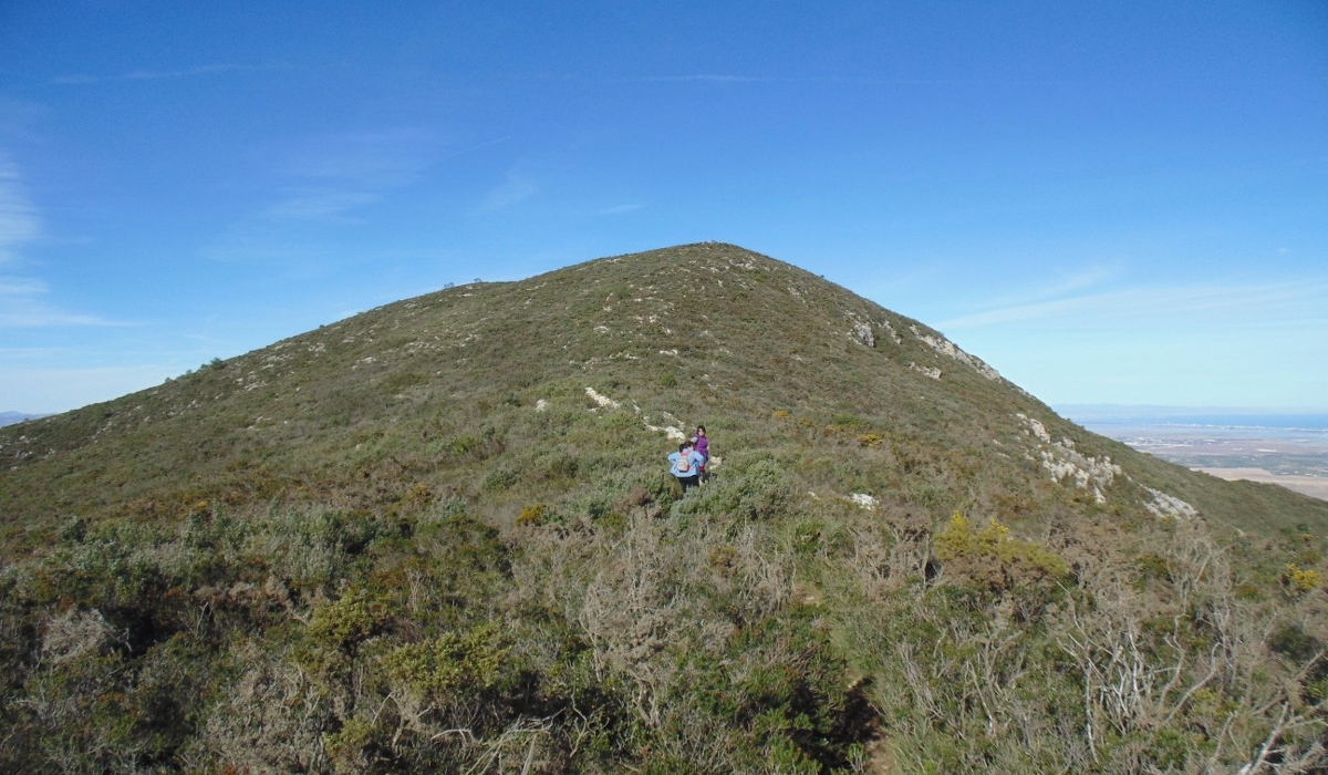
Massalari Peak
A landmark of the mountain landscape of Tavernes, with panoramic character and a prominent presence on the natural horizon. Its profile helps define the inland scenery of the municipality and its relationship with the surrounding ranges.
View site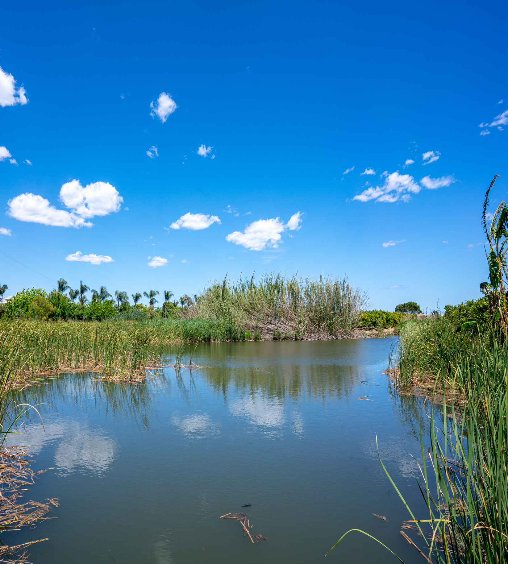
Ullal Gran i de les Penyetes
A wetland area linked to underground water springs, citrus groves and wildlife typical of marshland spaces. It adds biodiversity, freshness and a different rhythm to the natural landscape in Tavernes de la Valldigna.
View site
Cantus Water Sources
A natural point in the Serra de les Creus, linked to water, rock and the routes that cross the mountains. It works especially well for visitors who want to connect the natural sites block with hiking plans.
View siteMore ideas to complete your visit
Combine natural sites, hiking and other experiences to discover Tavernes de la Valldigna at your own pace.
What to do in Tavernes
The main page to discover experiences, proposals and ways to visit the municipality.
See what to do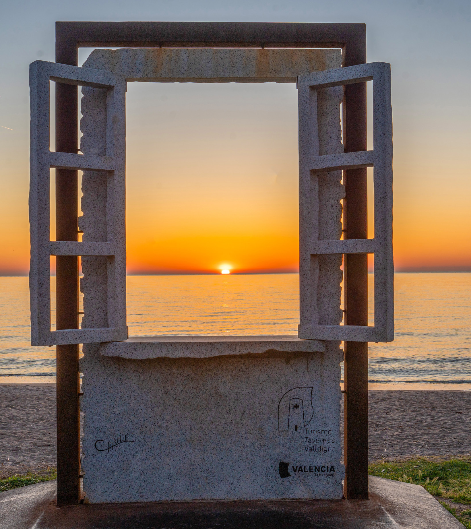
Travel planner
A practical tool to combine nature, hiking, beach, heritage and gastronomy.
Plan your visit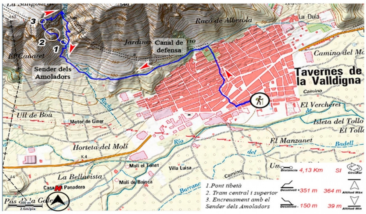
Hiking
Walking routes to discover the mountains, viewpoints and inland landscapes of Tavernes.
See hiking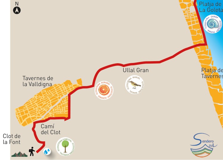
Ruta dels Sentits
A dedicated nature experience to understand the ecosystems and landscape reading of Tavernes.
View route